Tag Archives: Porcupine Mountains Wilderness State Park

To the Top of Michigan We Go

Up until the late 1950’s, Summit Peak in the Porcupine Mountains Wilderness State Park was thought to be the tallest peak in Michigan.  Back then, it was known as ” the peak one mile south of Mirror Lake”.  Thinking it was the highest point in Michigan at 1958 feet above sea level, the name ‘State Summit’ was decided upon.  It was discovered shortly after that Mt. Curwood, 100 miles to the east, was 20 feet taller.  At that point, the name ‘State Summit’ was changed to Summit Peak.  It was then discovered in 1982 that Mt. Curwood’s neighbor, Mt. Arvon, was 11 inches taller.  Granted, these two peaks are in some fairly remote wilderness, but it is still remarkable that those numbers were not officially surveyed until the year we were married!  With that being said, neither Mt. Curwood or Mt. Arvon has any sort of structure at the top of them.  Summit Peak has a 40 foot tower, which puts an observer at the top of Michigan! The only people possibly getting above that point are radio tower workers.  🙂

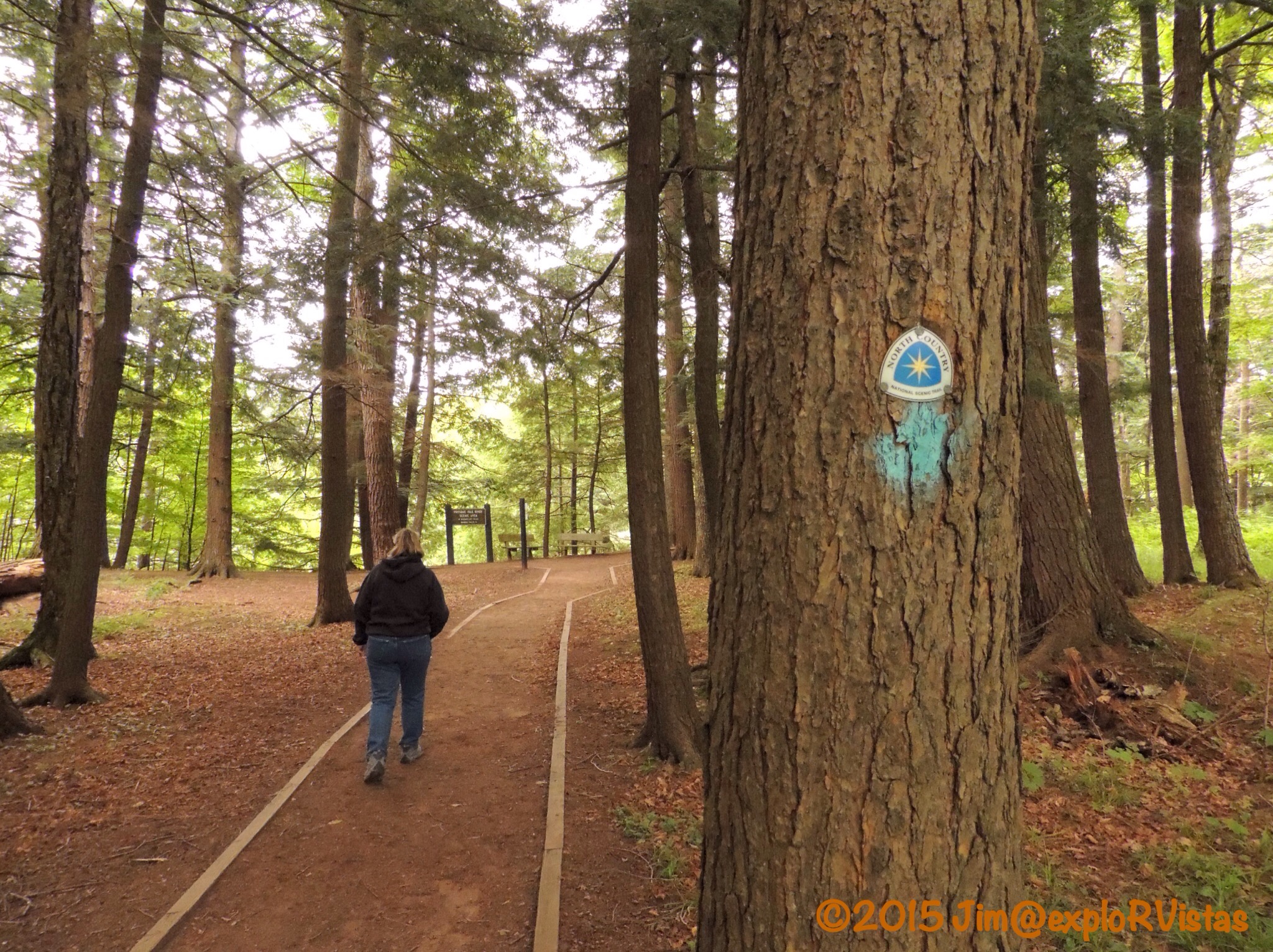
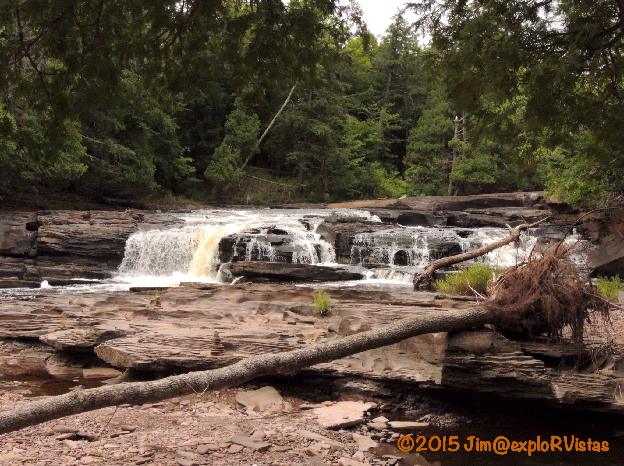
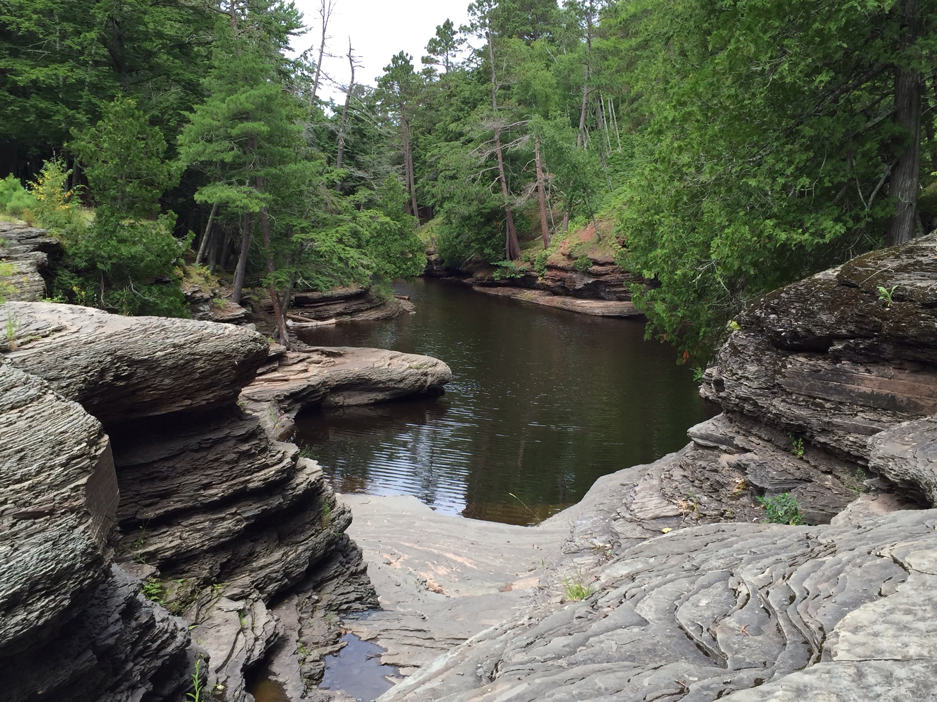
After exploring the Presque Isle River on Tuesday, we decide to check out Summit Peak on our way back to camp.

  
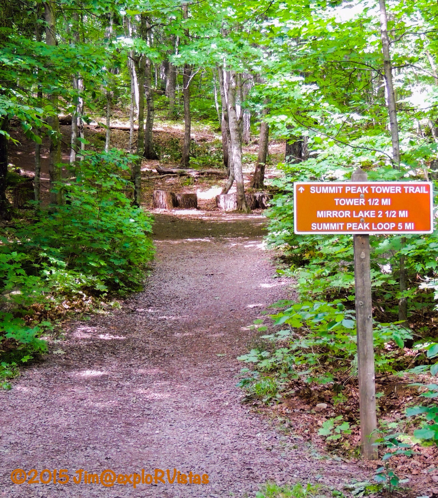
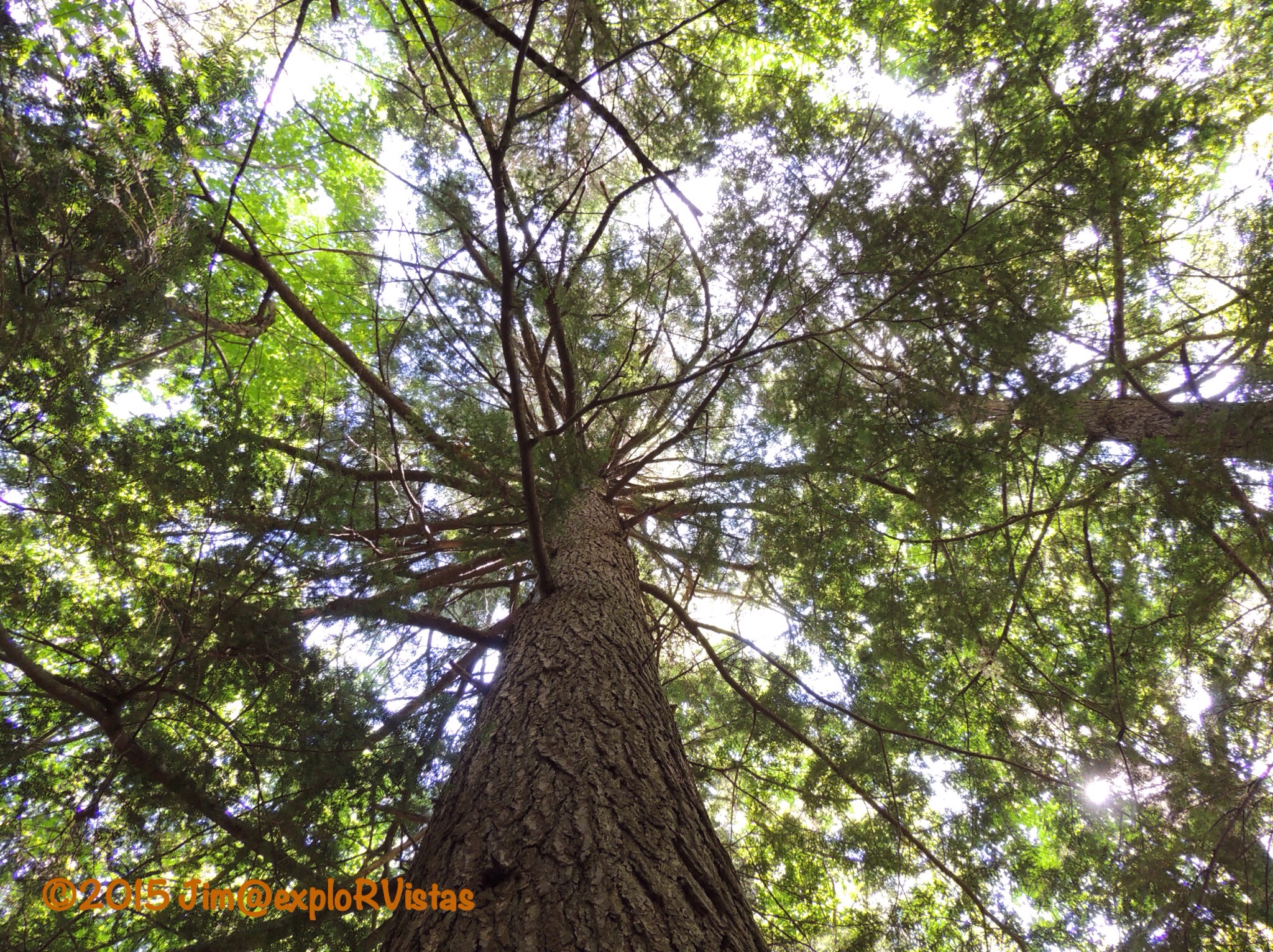
The trail to the top of Summit Peak begins at a paved parking area at the end of Summit Peak Road.  It is a fairly easy 1/2 mile climb through an old growth hardwood forest to the top via a gravel pathway, wooden boardwalk and stairs.

  
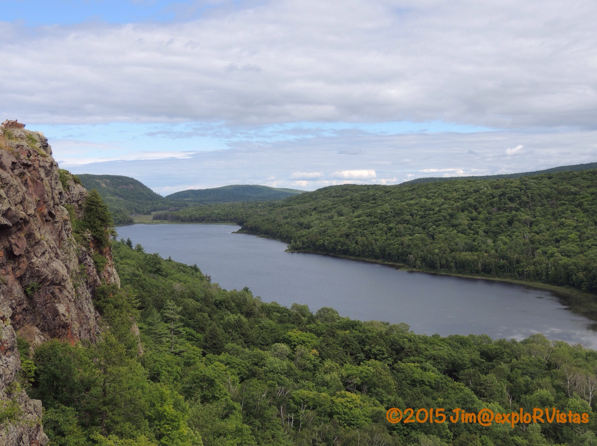
Two thirds of the way up, we came to the Lake Superior Overlook.

  
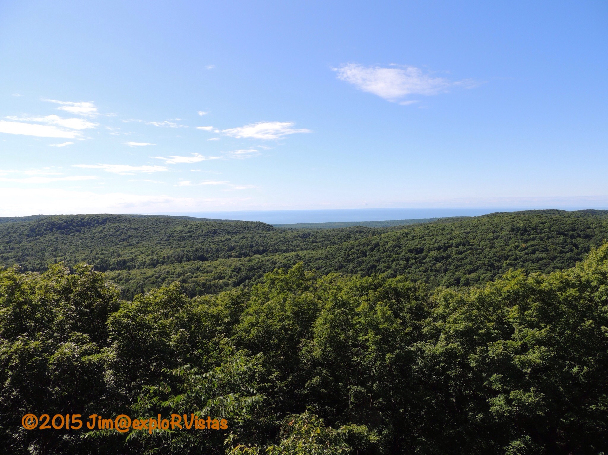
To offer some perspective, this photo is looking northwest.  Lake of the Clouds and the Escarpment Overlook are hidden by the ridge a few miles away. Lake Superior can be seen in the distance.

Heading back into the woods, we came to this sign.

  
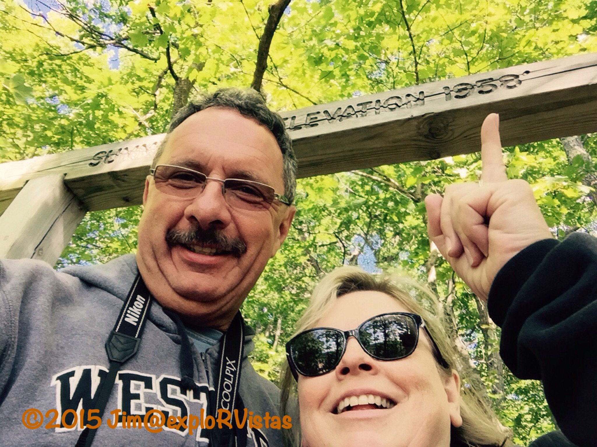
1958…hey, that’s the year we were born!  🙂

  
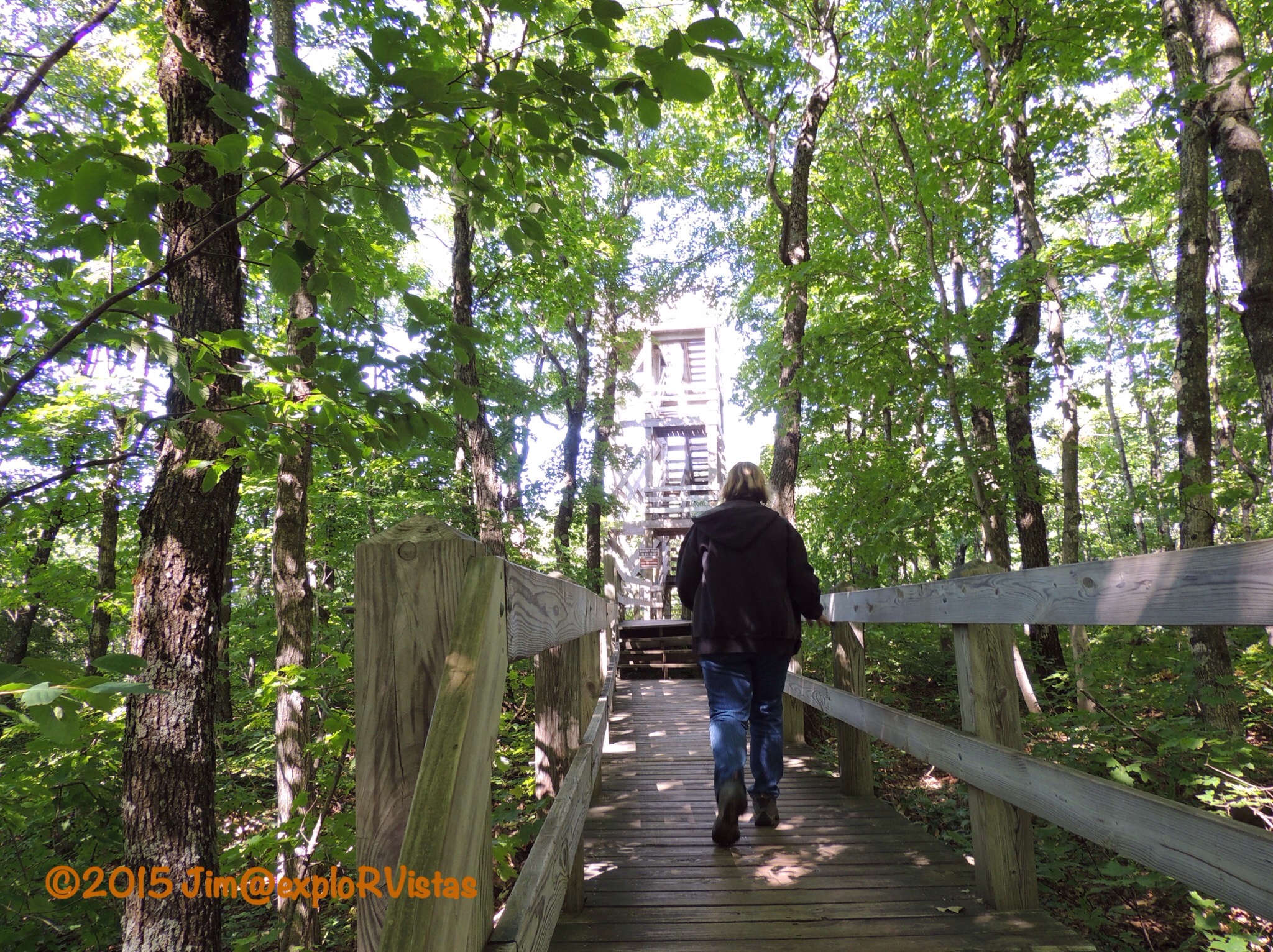
After climbing quite a few stairs, the tower came into view.

  
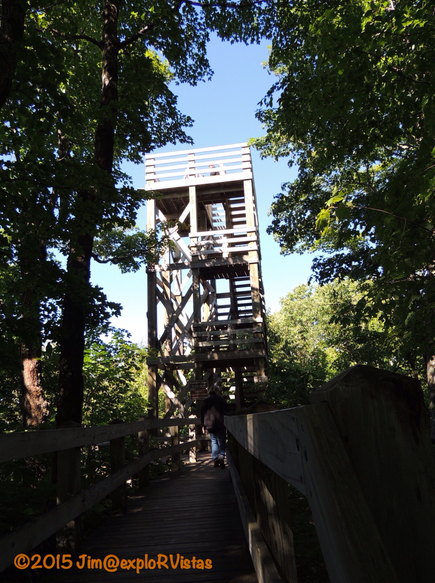
With the tower being 40 feet high, the climber’s eye level ends up to be higher than 2000 feet above sea level.

  
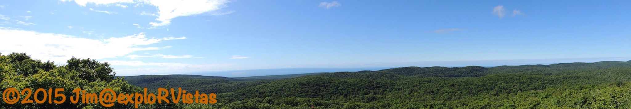
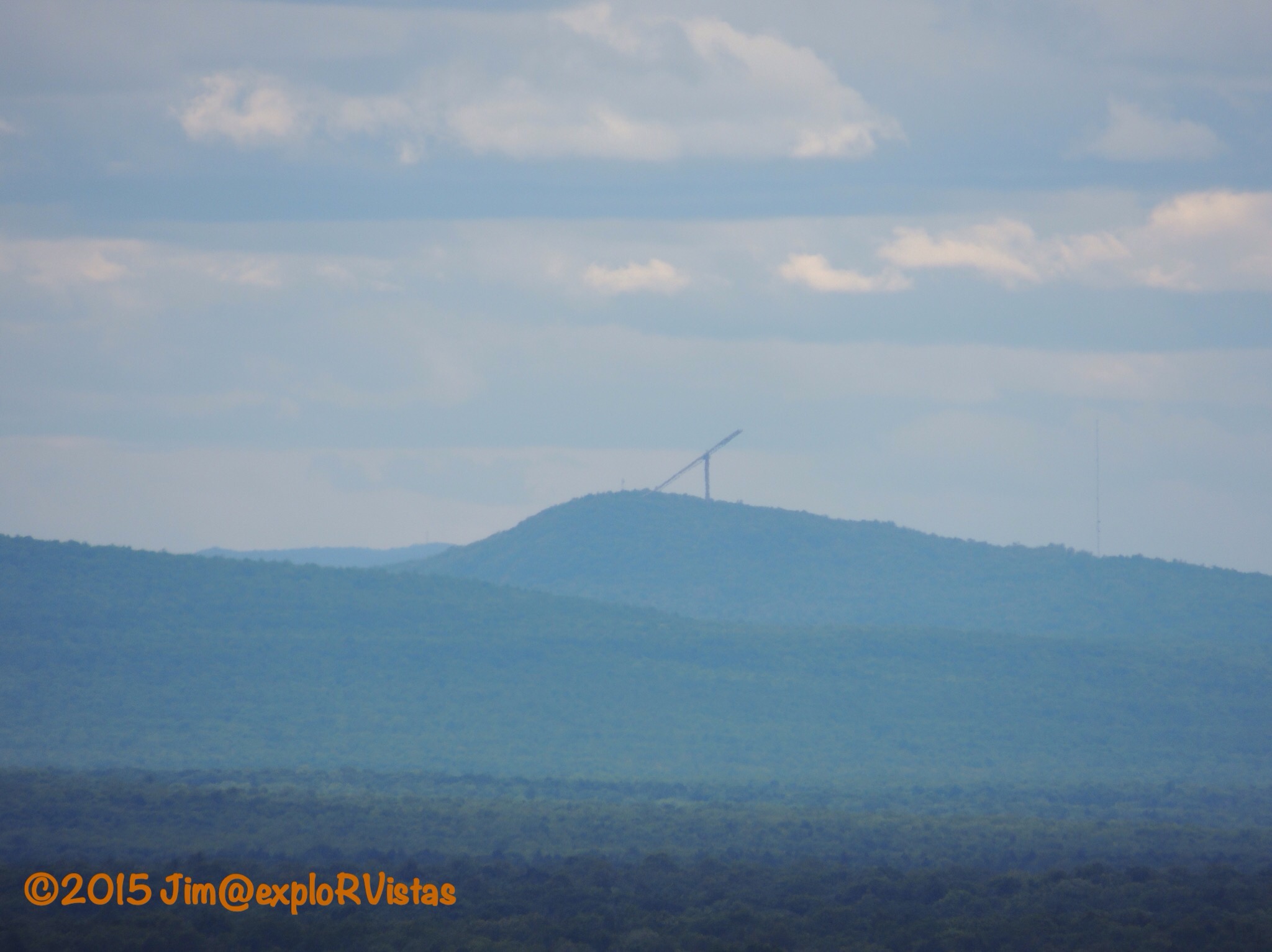
What a view!  If you pull in the horizon on the above panorama, you can see Wisconsin’s Apostle Islands in the distance.

  
Back towards the east are the Huron Mountains.  Somewhere out there are Mt. Curwood and Mt. Arvon.

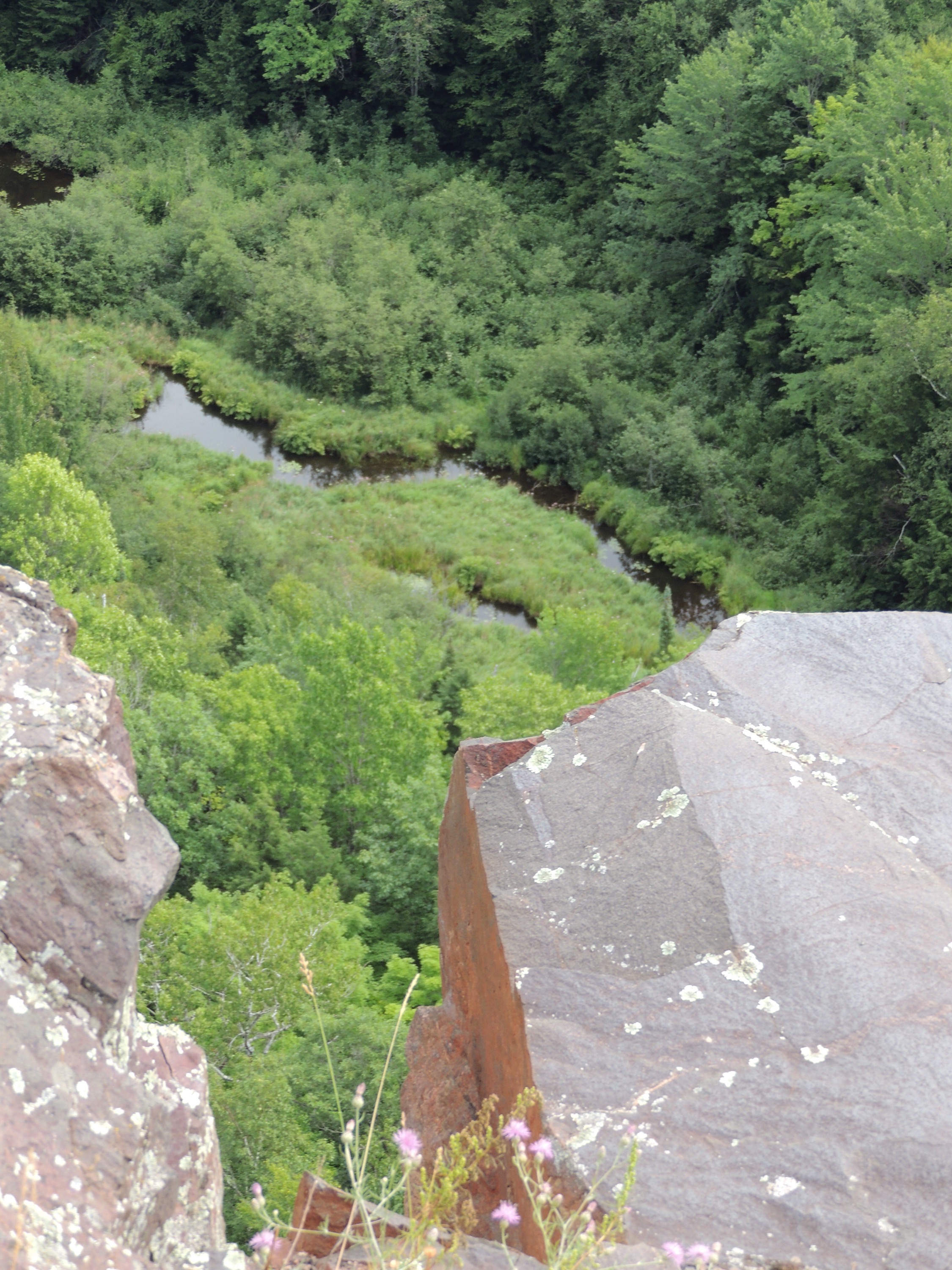
Below us, we could see a preview of what is coming soon.

  
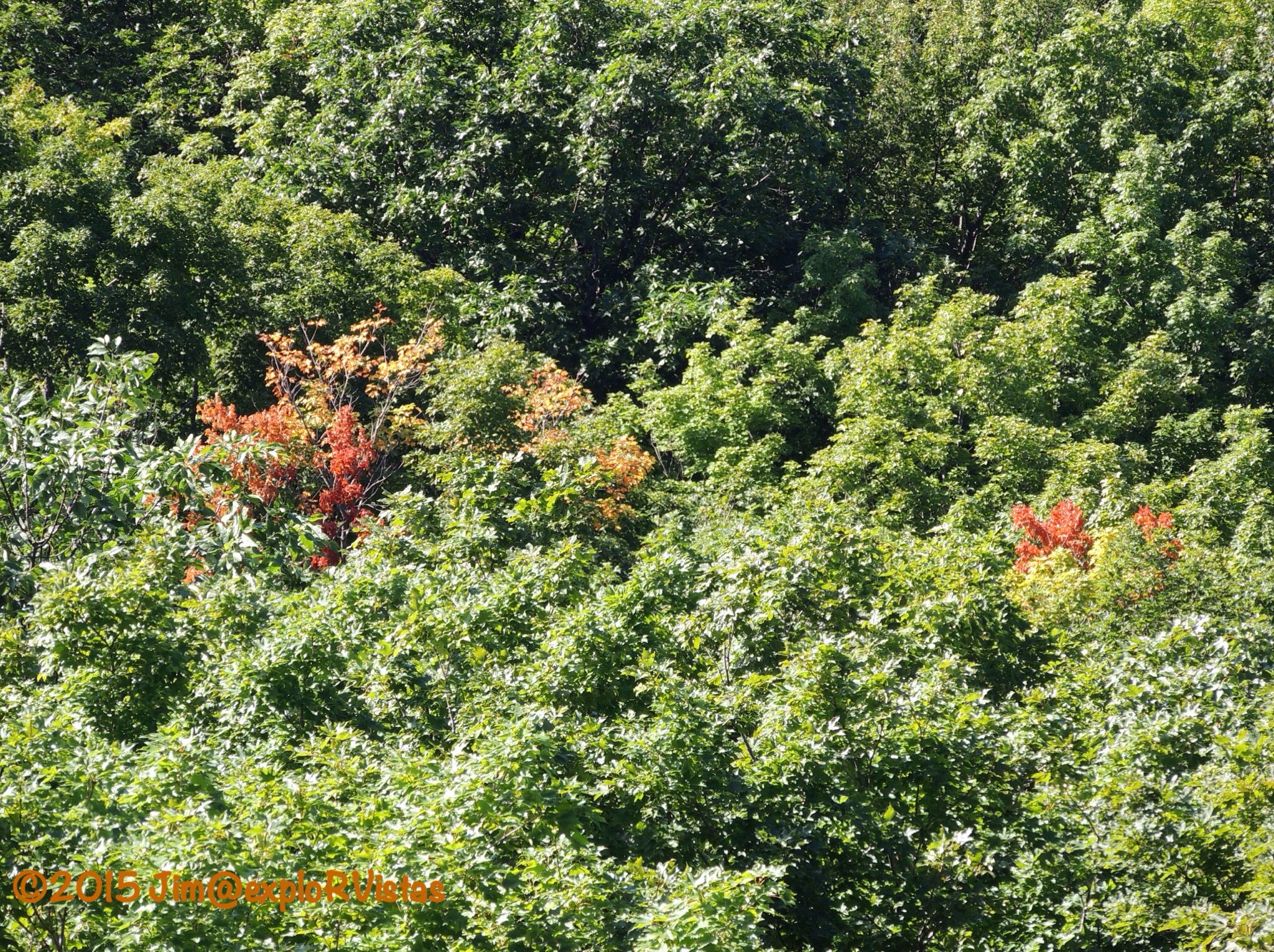
It won’t be long before the entire area is ablaze with fall colors!

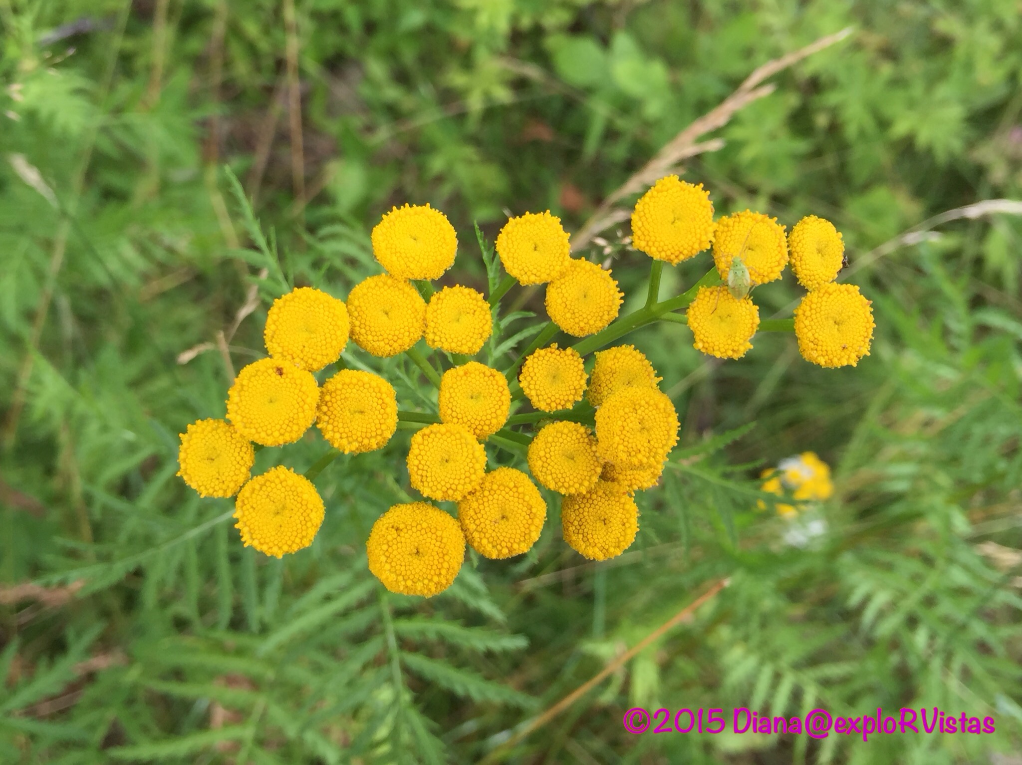
On the way back down, Diana spotted this beauty.

  
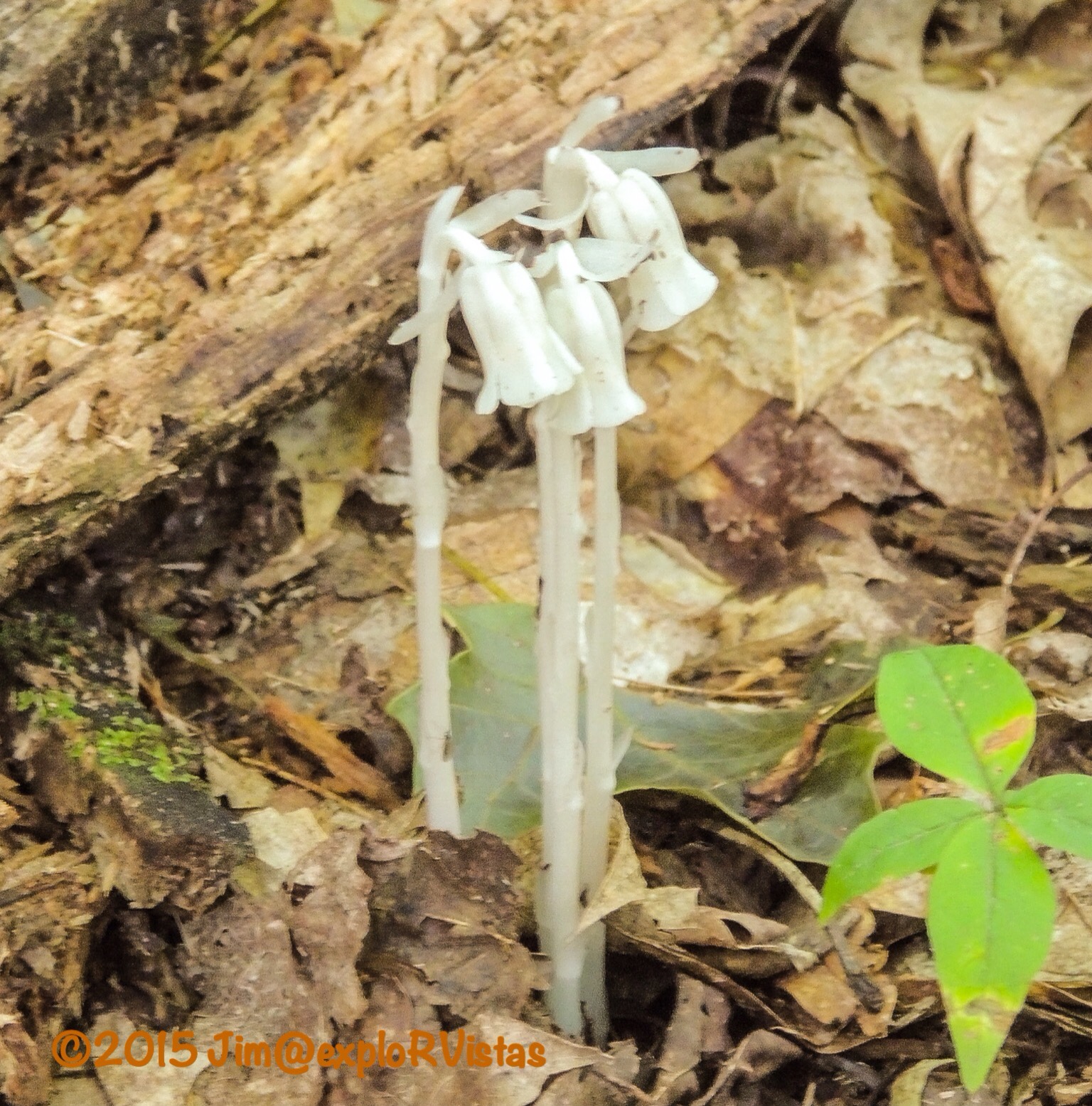
This is Indian Pipe, known also as Corpse Plant of Ghost Plant.  It lacks chlorophyll, therefore it has no color to it.  With the forest being old growth, the floor was fairly wide open and easy to see across.  That made it easy for us to not only see wildflowers, but to also keep an eye out for bears!

  
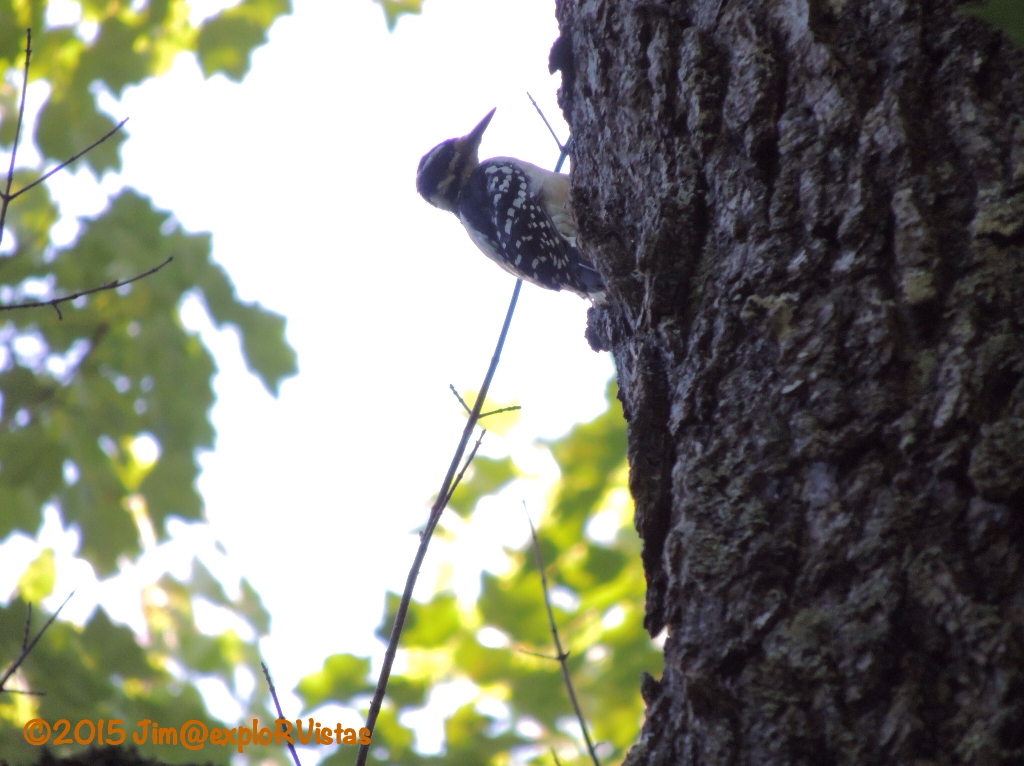
We also spotted this Downy Woodpecker working away on a tree.

So while Summit Peak may not officially be the highest peak in Michigan, it’s tower does offer the highest mountaintop vista available in the state.  Make sure to take the time to check it out if you are in the area!

Presque Isle River

When the word ‘pothole’ is mentioned, the thought of a crater in a late winter road comes to mind.  At the western end of the Porcupine Mountains Wilderness State Park, there is a very different kind of pothole to be explored.

Tuesday morning, we headed to the Presque Isle River.  The name is of French origin, meaning “almost an island”, and refers to the peninsula/island at the mouth of the river. On the way to our destination for the day, we were treated to a very healthy black bear bounding across South Boundary Road in front of us.  The Porkies have a large population of black bears, which are seldom seen by humans. Unfortunately, we didn’t get a picture, as the bear didn’t stick around to pose for the blog. 🙂


We arrived at the river a short time later. From the parking area, the North Country Trail heads towards the river.  The river runs through a mixed old growth forest, which leaves the forest floor fairly wide open.


And some of the trees are huge!  This giant is an Eastern Hemlock.


The riverbed is comprised primarily of sedimentary rock, referred to as Nonesuch Shale.  The uplift of the shale has created numerous waterfalls along the way.  The water itself is stained with tannins from decaying vegetation upstream, giving it a tea coloring and creating foam in the eddies below the falls.


And there are those potholes we were talking about!


They are created as the water swirls smaller rocks in a low point in the riverbed, resulting in a circular hole.  It is amazing how razor sharp and perfect the edges are!


The river continues it’s march toward Lake Superior.  Boardwalk and stairs follow the western shore, making access for visitors fairly easy.


Near the mouth of the river, a suspension bridge crosses the active channel to the ‘presque’ isle.  This bridge is actually part of the North Country Trail.


On the far side of the island, the trail crosses the dry riverbed.  In the springtime, the flow of the river is high enough to cover this portion of the riverbed.


Below that point, the river water is ponded until the next spring.


A young girl pointed out this turtle in one of the small pools.  It appears to be a baby snapping turtle. There were also tadpoles swimming around.


Where the pool meets Lake Superior, there is a sandbar between the east riverbank and the presque isle. In the springtime, that bar is breached, thereby creating a true island.  The sandbar is a great place for rock hunting.


I kept handing rocks to Diana, saying “Look at this one!”  She finally set them all down and took a picture of them. 🙂 


There were also several varieties of wildflowers to be found along the riverbank.  Here are a bunch of Common Tansy.


The Presque Isle River is definitely a great place to spend an afternoon!  Just remember one thing…

  
Watch out for the potholes!  🙂


West Across the Upper Peninsula 

The Upper Peninsula of Michigan is definitely different than it’s southern counterpart.  Only 3% of the state’s population lives up here.  They actually have their own state fair, as they are so far removed from Detroit. The weather in the U.P. Is sometimes referred to as 9 months of winter, followed by 3 months of bad sledding. Ontonagon averages 200 inches of snow each year!

After spending the night at the KOA in St. Ignace, we set our course west for the Porcupine Mountains.  The Porkies, as they are affectionately called, have been a draw for Diana and I for years.  We both were there as teenagers, and were there together one time during the 1990’s.

We left the KOA in a thunderstorm, which was the first rain we had seen in quite awhile.  Behind us, a little drama was unfolding on the Mackinac Bridge.

  
A wind gust had blown this RV onto it’s side, closing the bridge.  There is a very good reason they want high profile vehicles to go 20 miles an hour!

As we made our way west on US 2, our weather cleared up.  We stopped at the Cut River bridge, a favorite place to explore.

  
Michigan’s Department of Transportation maintains parks on both sides of the bridge.  From the roadway, the beauty of the structure and the gorge below can’t be seen.  It is definitely worth stopping to take a look.

  
Here is Diana checking out the superstructure under the roadway.

  
This doorway was immediately behind her. We found the nameplate on it to be amusing. 🙂

On our way west along U.S. 2, we were able to look south over the northern shore of Lake Michigan.  What we saw in the distance was disturbing.  The sky was as black as night, and the radar on our iPhones was indicating that a major storm was headed straight for the Leelanau Peninsula, about 100 miles south of us.  All of our friends at Wild Cherry were in for some nasty weather.  It wasn’t long, and the photos started rolling in on Facebook:

  
This is what they saw coming at them at Sleeping Bear. Glen Arbor and the national lakeshore took the brunt of it.

  
Latest reports indicate that Glen Arbor sustained straight line winds of over 90 miles an hour!  M-22 coming in from the south is still impassable, 2 days later.  Fortunately, no one was killed.  Wild Cherry never lost power, and just had a few branches down.  The photo above is on what was a heavily forested stretch coming into Glen Arbor along Glen Lake.  It was a gorgeous drive.  So sad…..

Back to our trip:  We continued west to Marquette for the night.  Going on a tip from Cherie and Chris at Technomadia about casino camping, we stopped at Ojibwa Casino, east of Marquette.  The casino actually paid us to camp there!

  
They gave us each $15 in free slot play, a free mixed drink (or beer), and $10 in match play for blackjack.  We passed on the blackjack, and we came away with almost $10 total from the slots.

  
Oh, and this wooded campsite was free!  It even included 50 amp electric!  For anyone thinking about staying here, make sure you come with a full fresh water tank and empty holding tanks.  They don’t have a dump station or water available.  We ended up dumping farther west on Monday at Van Riper State Park, which was free with our Michigan Recreation Passport.  Thanks to the Ojibwa nation for the hospitality!

Our next stop was River Road RV Park in Ontonagon, Michigan, which is the eastern gateway to the Porcupine Mountains.  We set up camp for a few days of fun in the area.  We were given a nice full hookup site, just a few yards away from the Ontonagon River.

Late Monday afternoon, we headed up to the visitor center at Porcupine Mountains Wilderness State Park.  We discovered that the state park was established in 1945 in response to the U.S. National Park Sevice contemplating making it a national park.  Michigan wanted it for their own.  Diana first came here with her family in the early 1970’s and I came with a buddy in 1975 at 17 years old, just after getting my driver’s license.  

After we left the visitors center, we headed up to Lake of the Clouds.

  
The lake is accessible by foot trail only, and is totally surrounded by wilderness.  There are no boats to be seen on this beautiful body of water. The surrounding hardwood forest in the park is the largest stand of virgin, old growth hardwoods west of the Adirondack Mountains.  The fall colors here are outstanding in late September.

  
The viewing area is on an escarpment high above and adjacent to the creek that feeds the west end of the lake.

  
This gentleman was playing a Native American flute on the boardwalk at the edge of the cliff.

  
To the west, I was able to zoom in on the Copper Peak Ski Flying Hill about 30 miles away.  It is the only ski flying hill in the Western Hemisphere.  Ski flying covers greater distances than normal ski jumping.  Anyone care to try it?  🙂

  
Zooming back out shows just how vast this wilderness is.

  
We have more of the park to explore, and we look forward to passing along our discoveries.  The Upper Peninsula is definitely a unique place to visit!