Category Archives: TerraTrike

Captivating Cape Cod

May 24-28, 2018 – Cape Cod, Massachusetts

If you ever find yourself running north through Bishop, California on US-395, just past the Upper Crust Pizza Parlor, you will see a sign for US-Route 6.  That is the western terminus of one of the longest highways in the United States.  The eastern end is the subject of this post: Cape Cod, Massachusetts.  Far different from the desert landscape out west, this forested peninsula juts into the Atlantic Ocean, only to curl back towards the Massachusetts mainland it came from.  It somewhat looks like the left arm of the Notre Dame fighting leprechaun.  🙂

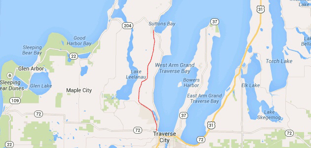
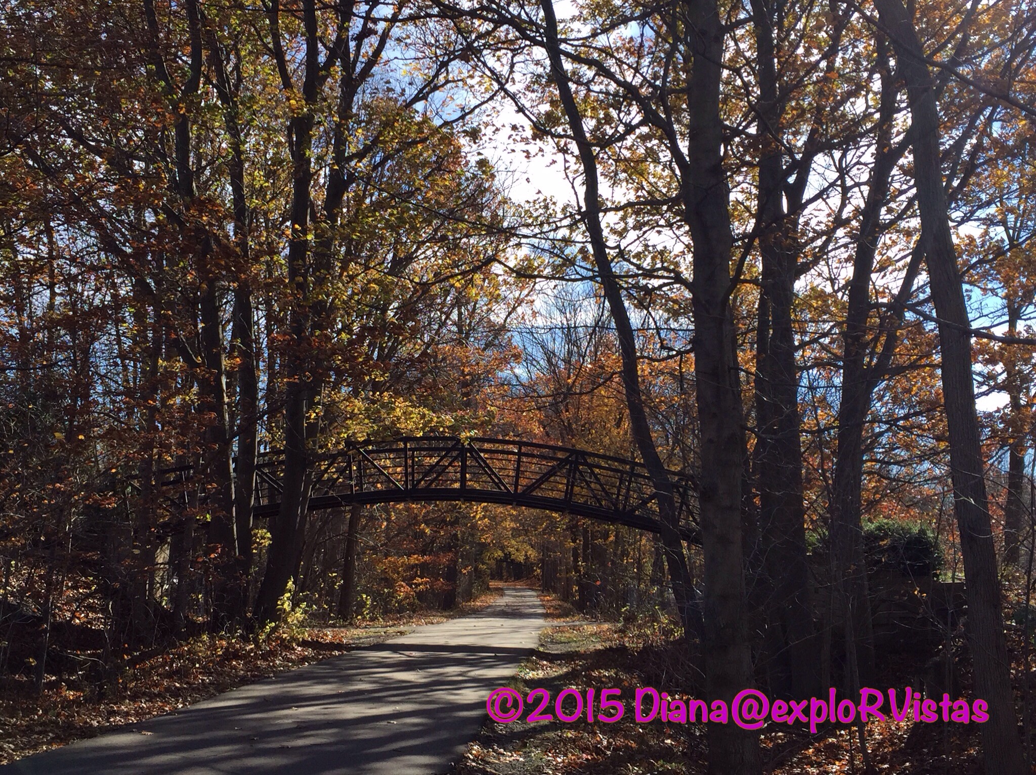
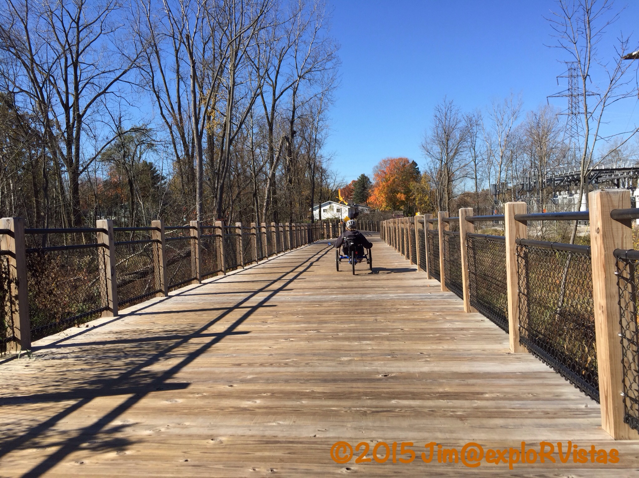
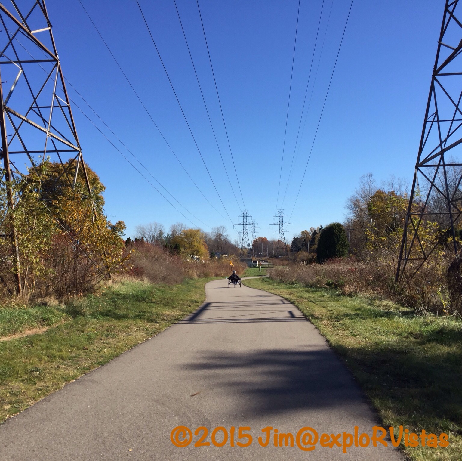
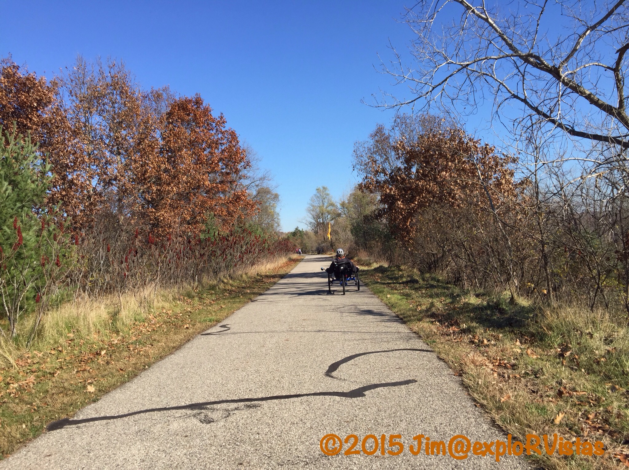
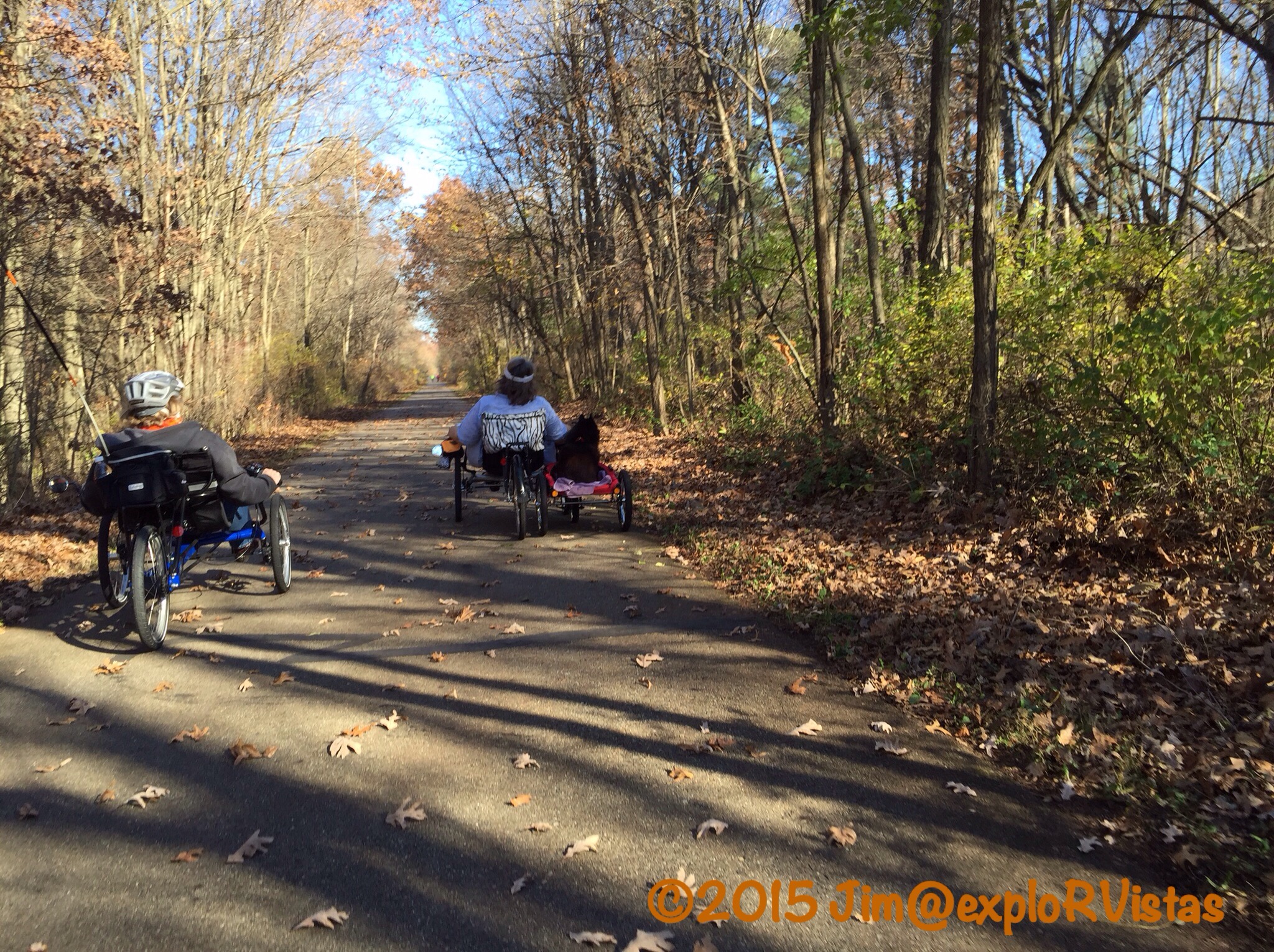
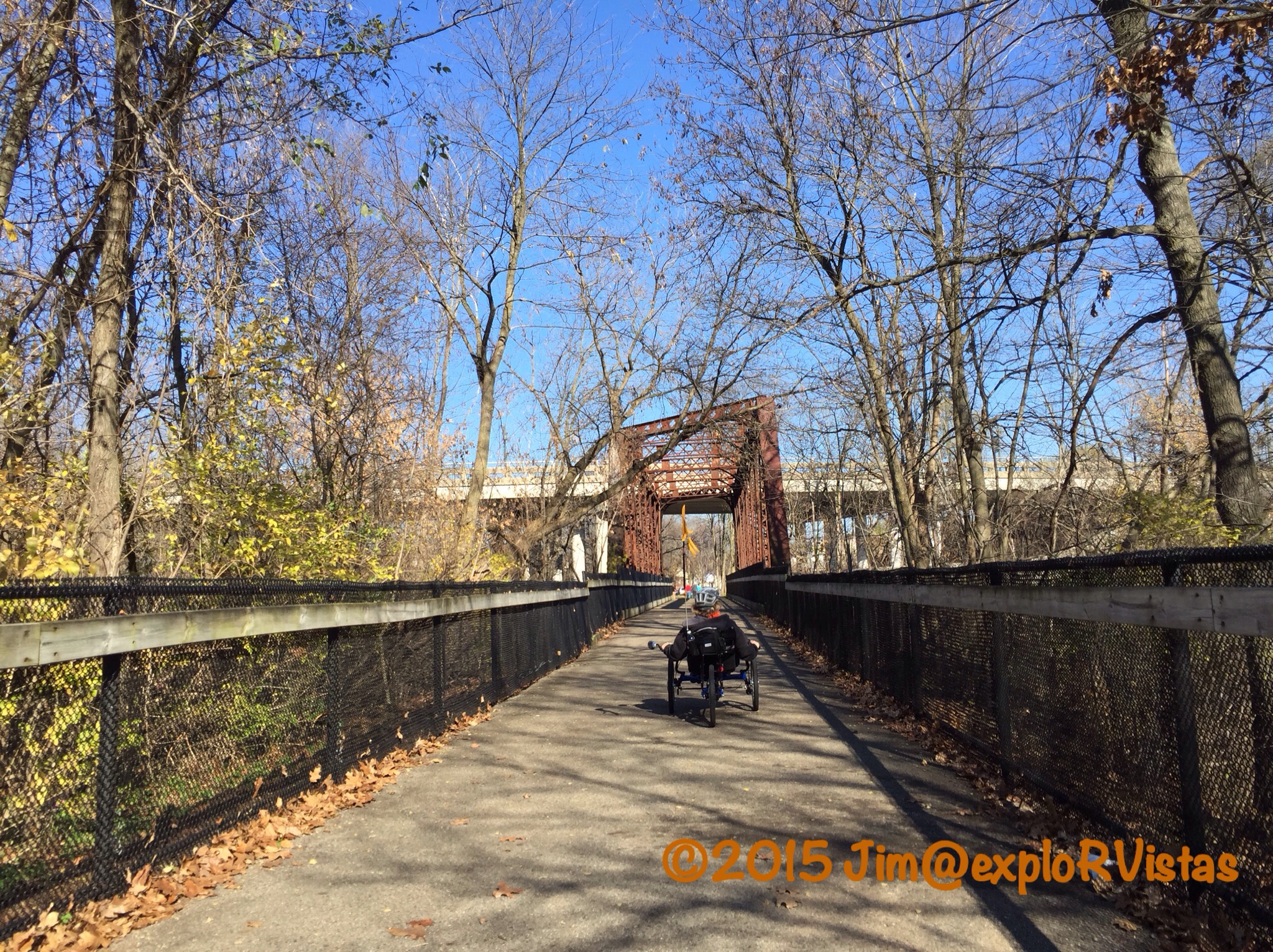
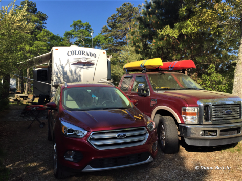
Cape Cod was our next stop after our stay in Rhode Island.  We allowed ourselves five days to explore the area, which was a nice amount of time to get a feel for this unique place.  Our base camp was in Eastham, about halfway up the forearm, so to speak.  We stayed at Atlantic Oaks RV Resort, which was conveniently located on the Cape Cod Rail Trail, a 22-mile long asphalt path between South Dennis and Wellfleet.

z13

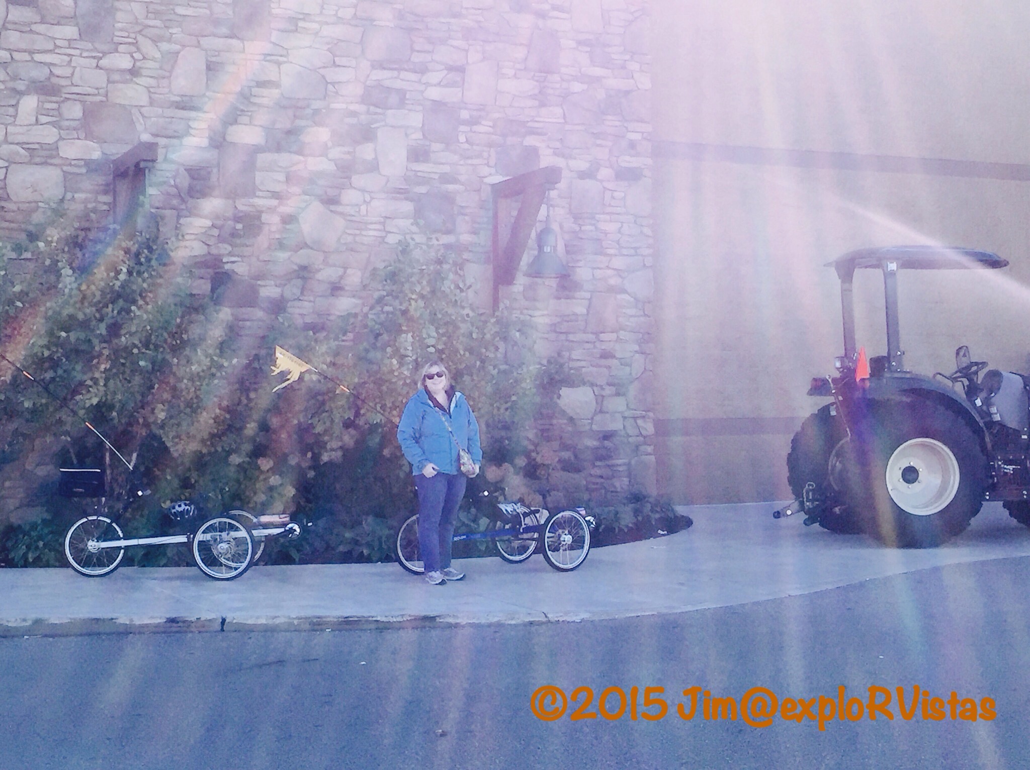
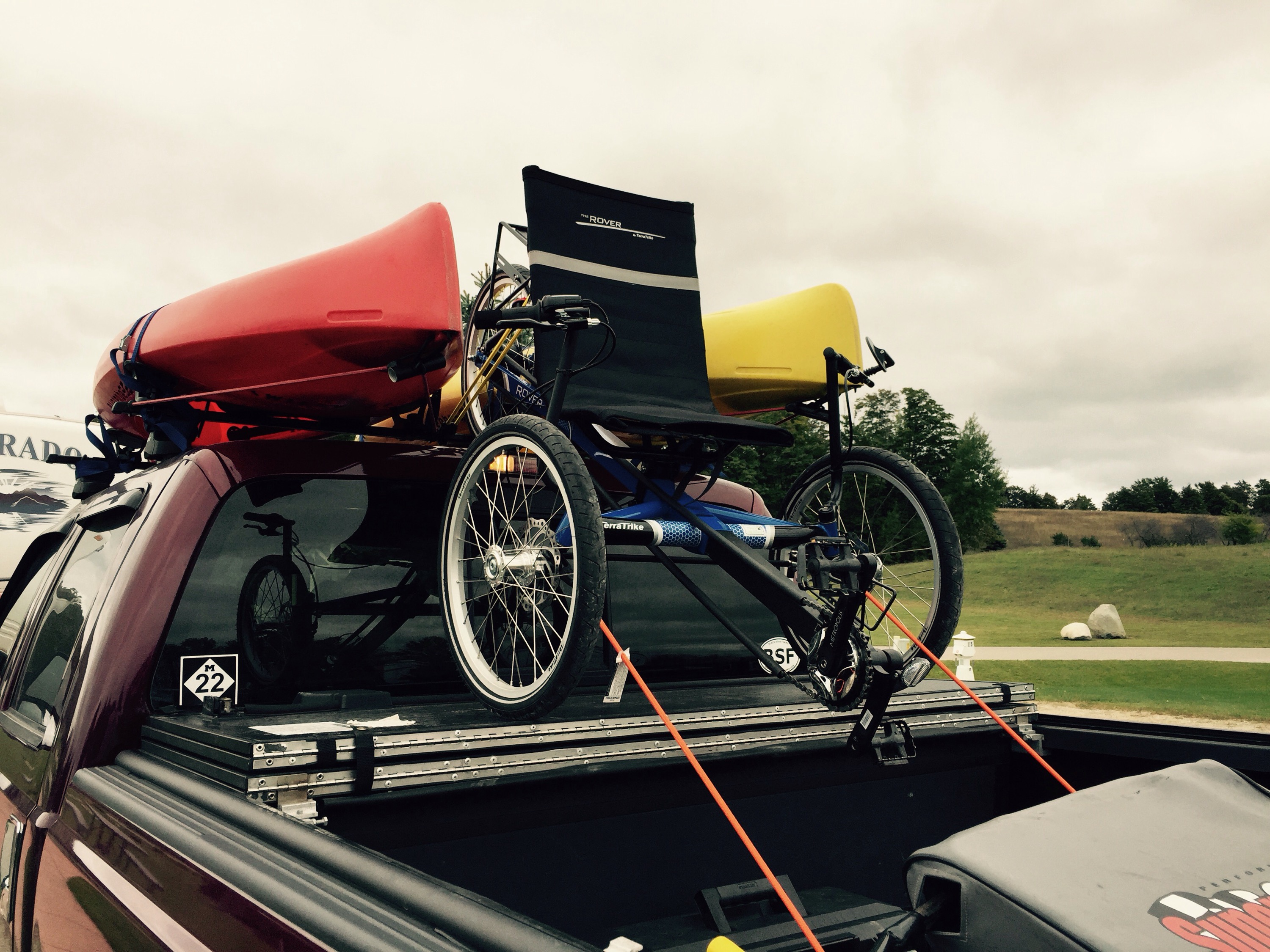
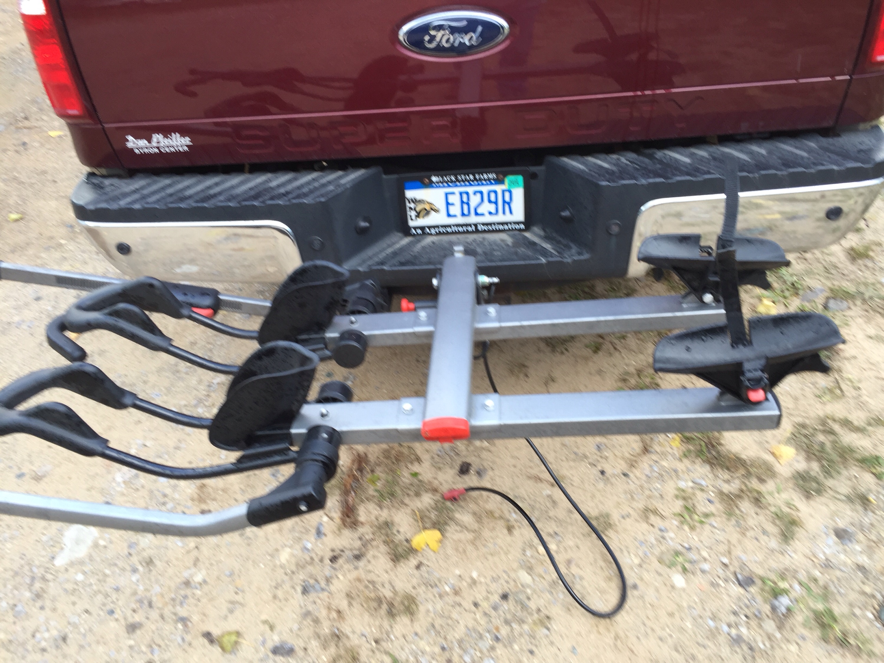
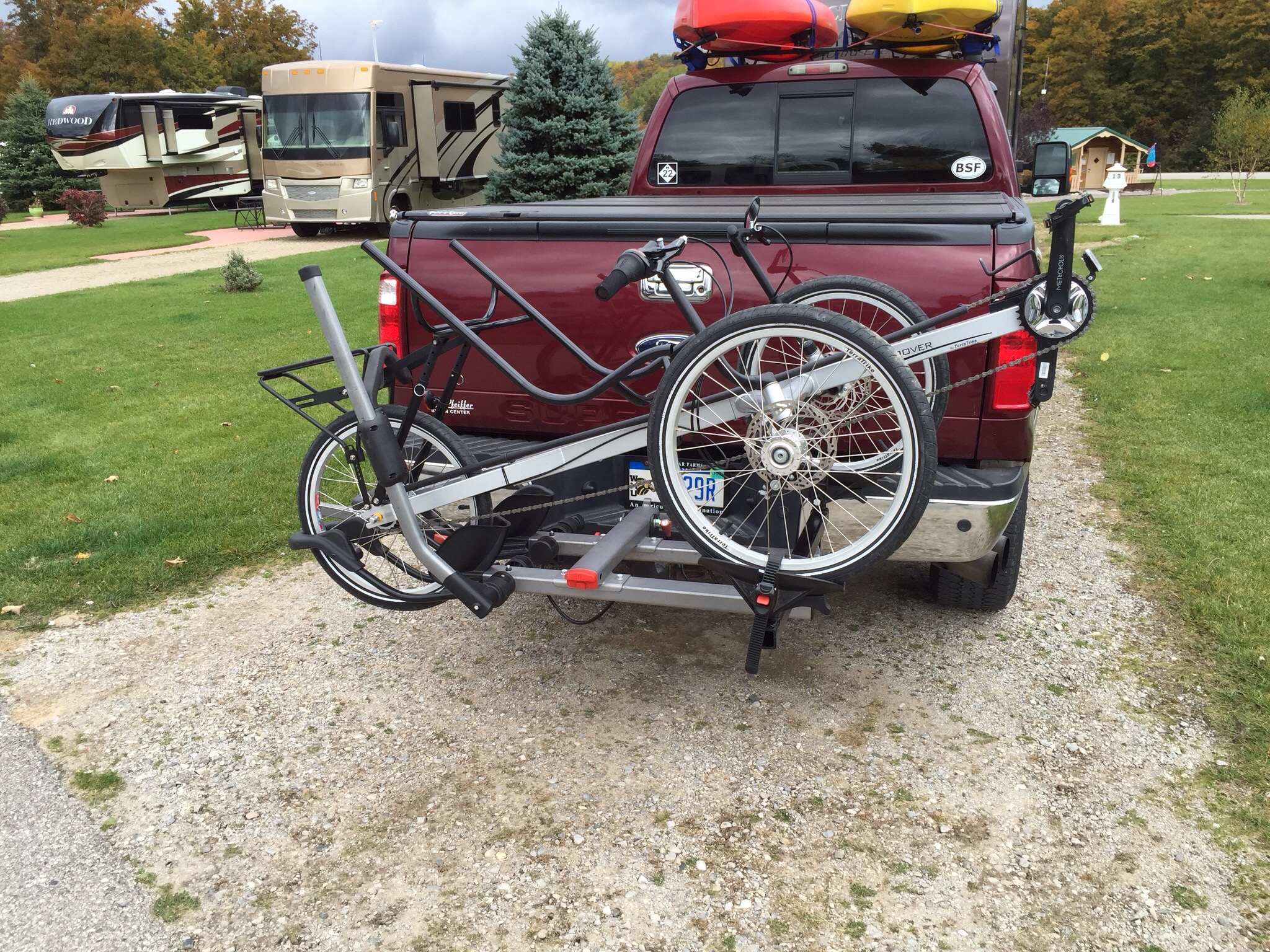
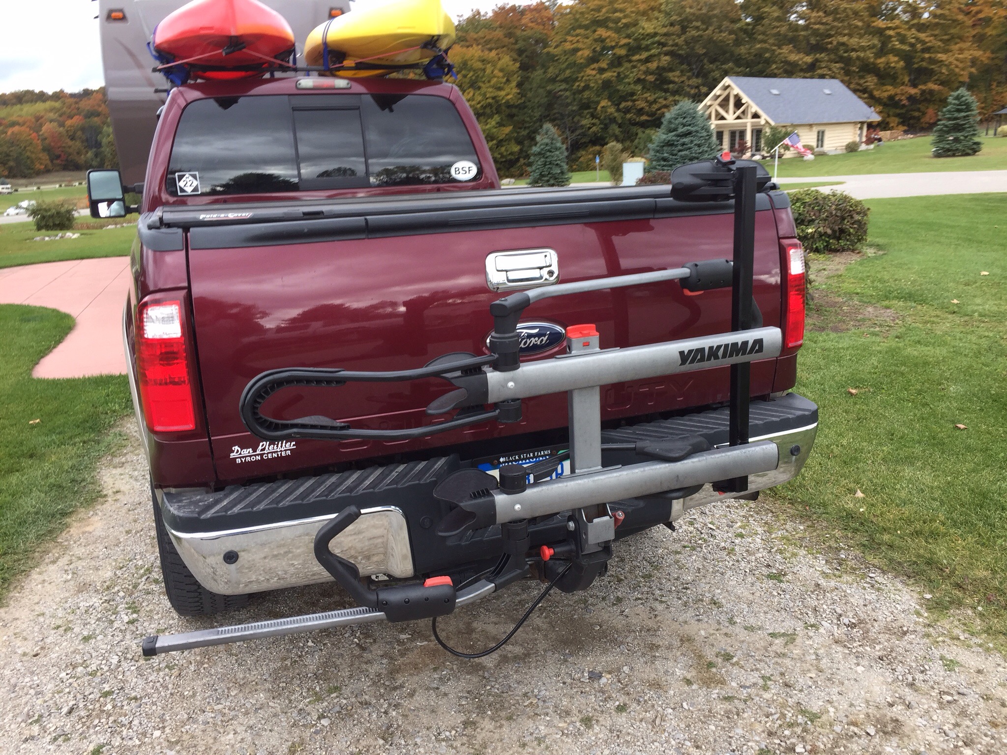
As you can see by our truck, we were inundated with pollen.  🙂  That has been the downside of following the blooming dogwood trees all the way up the coast.  The weather has been decent, though!

z1

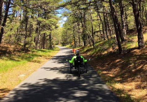
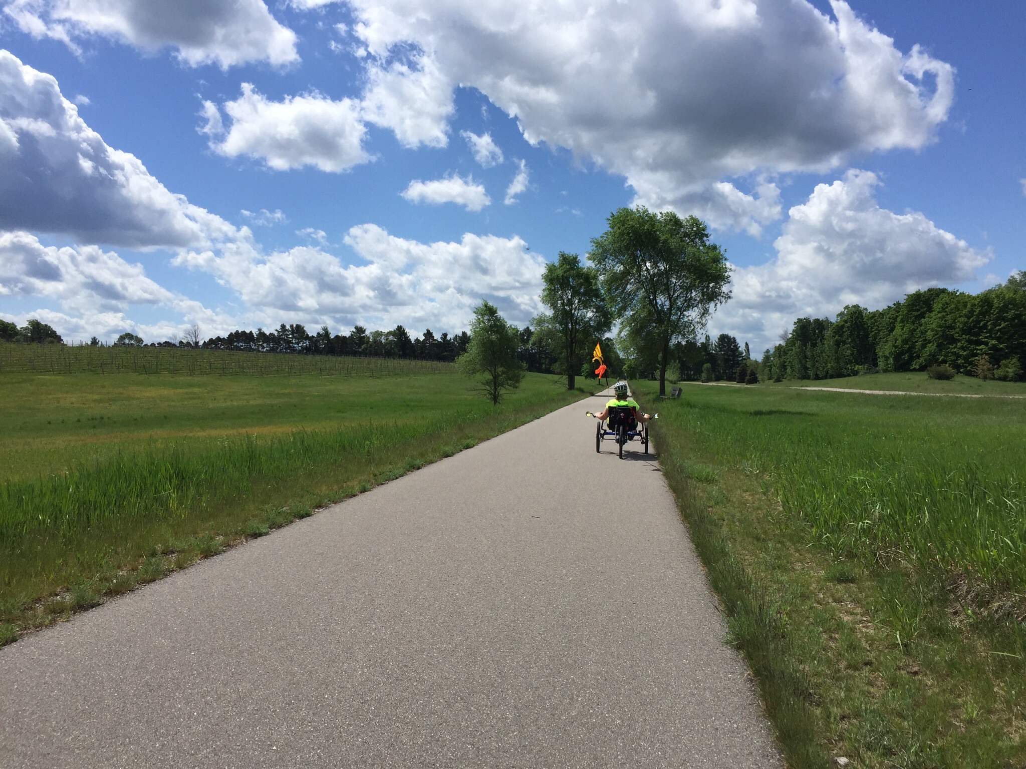
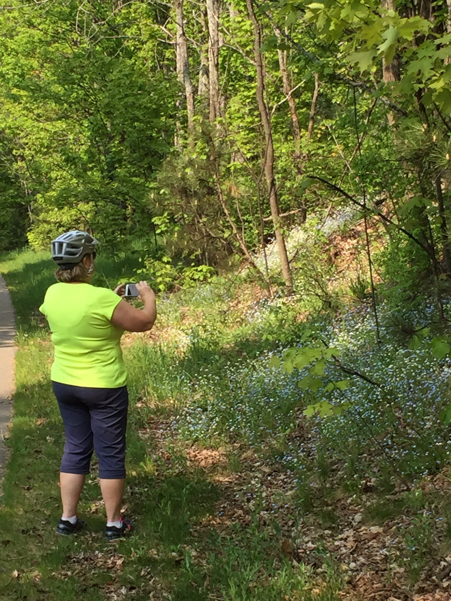
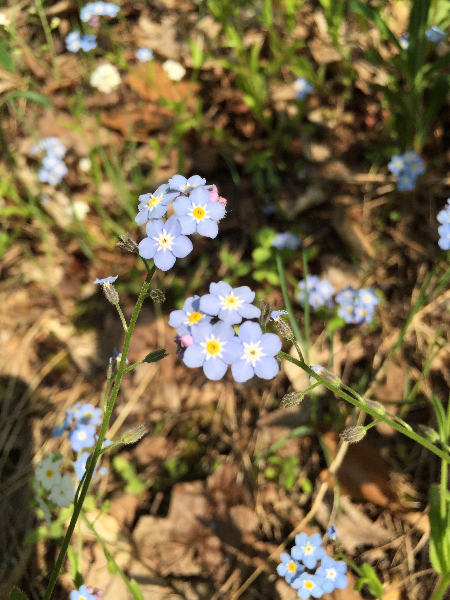
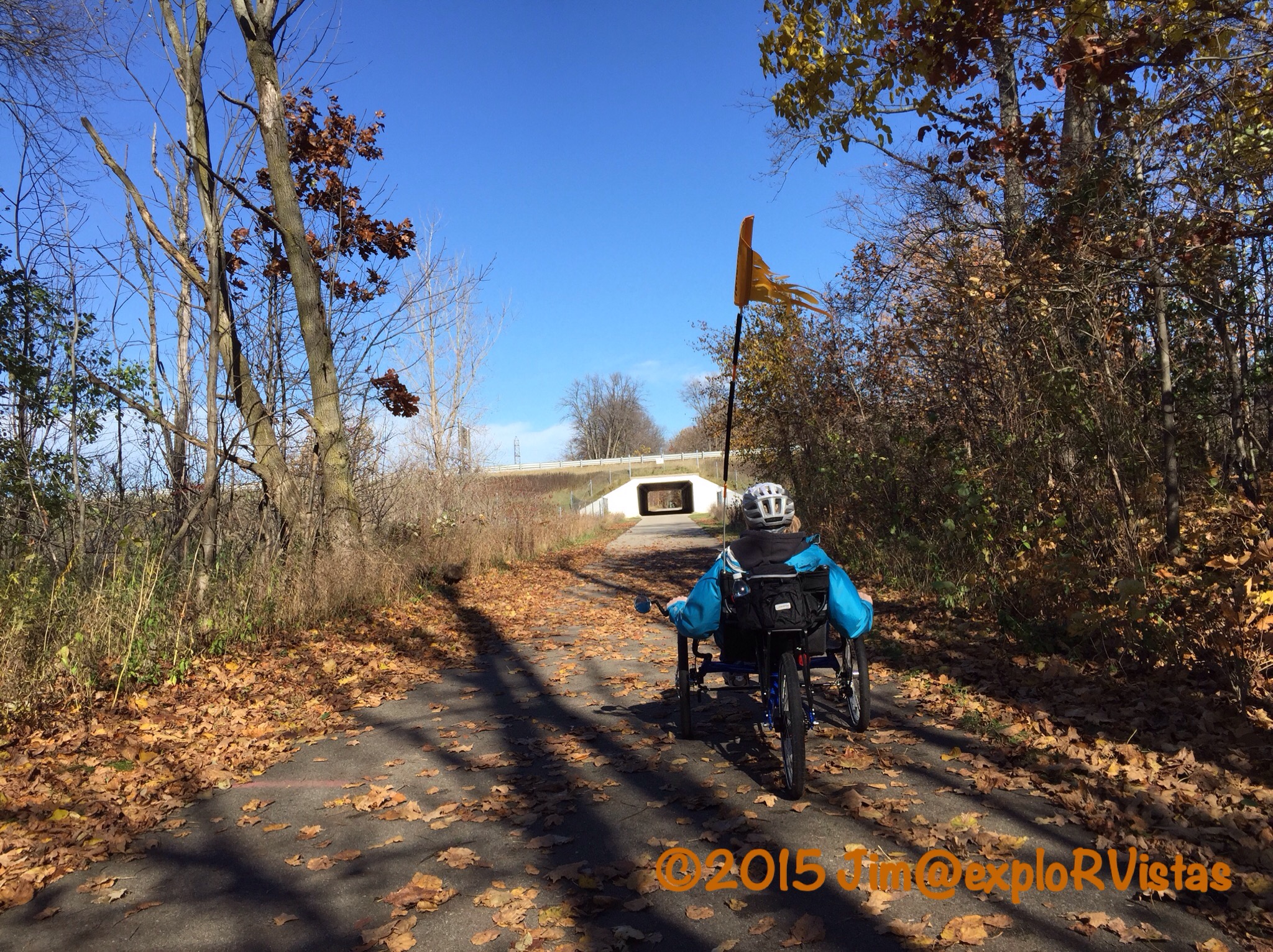
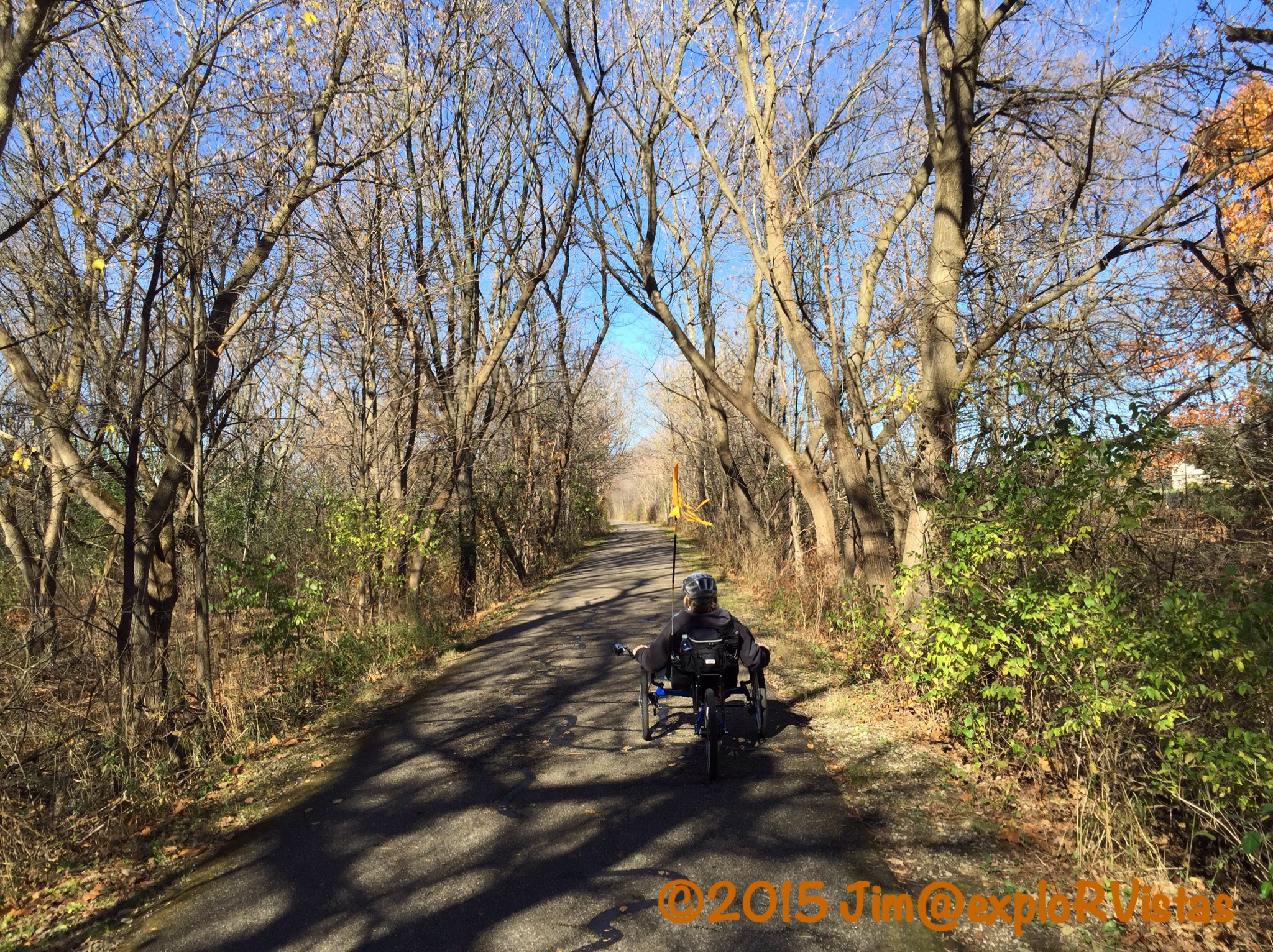
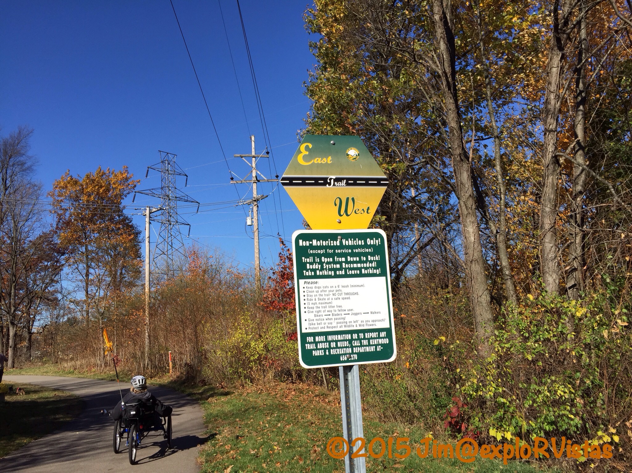
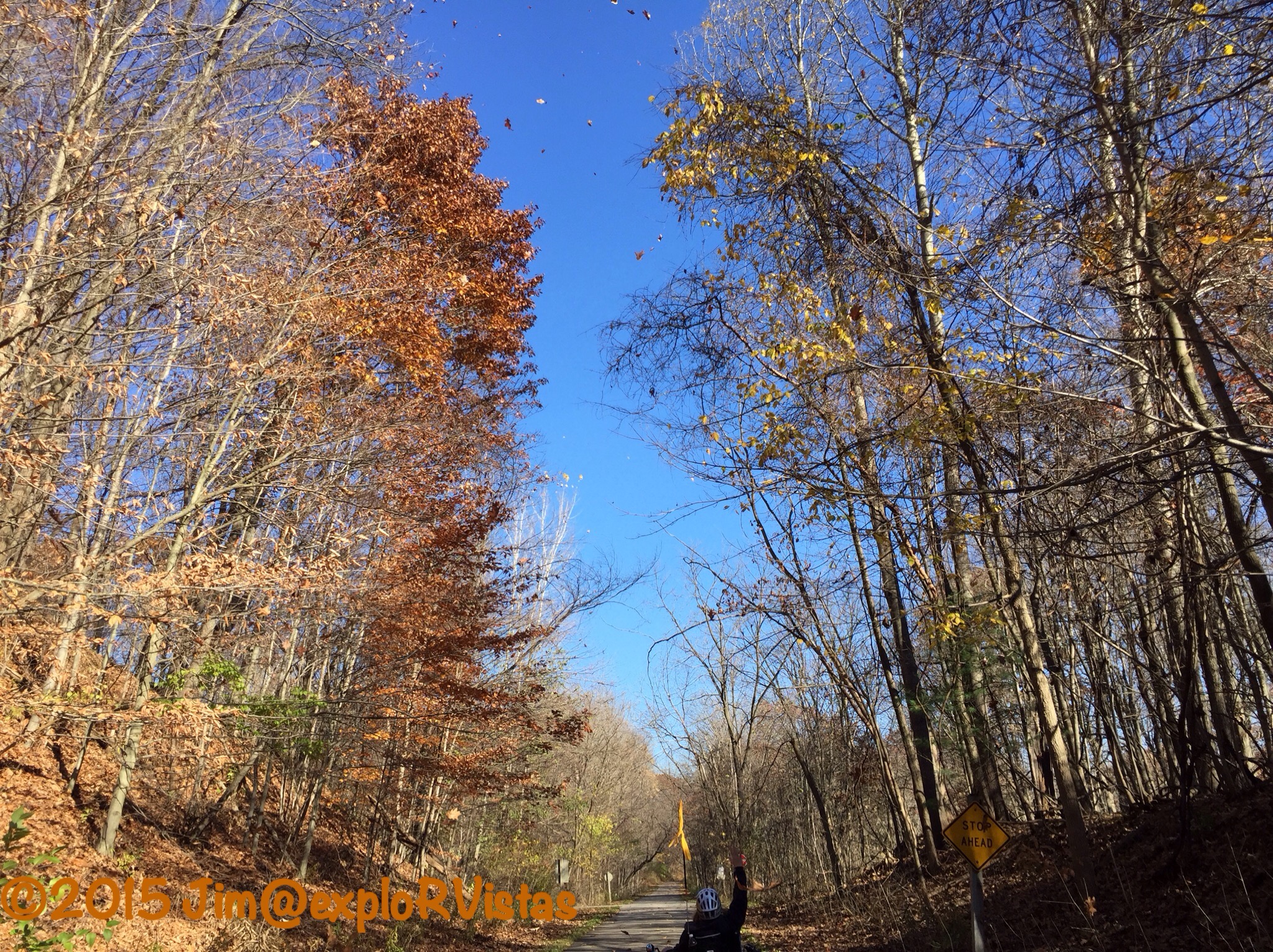
And check out that beautiful bike path.  This was one of the best marked trails we had ever been on, with motion sensors at many of the road crossings to alert the drivers.  When it crossed busy Route 6, it was either by dedicated bridge or tunnel.  Plenty of pretty views along the way.  We rode portions of this route three separate times, as the weather allowed.

z2

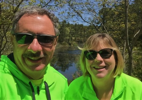
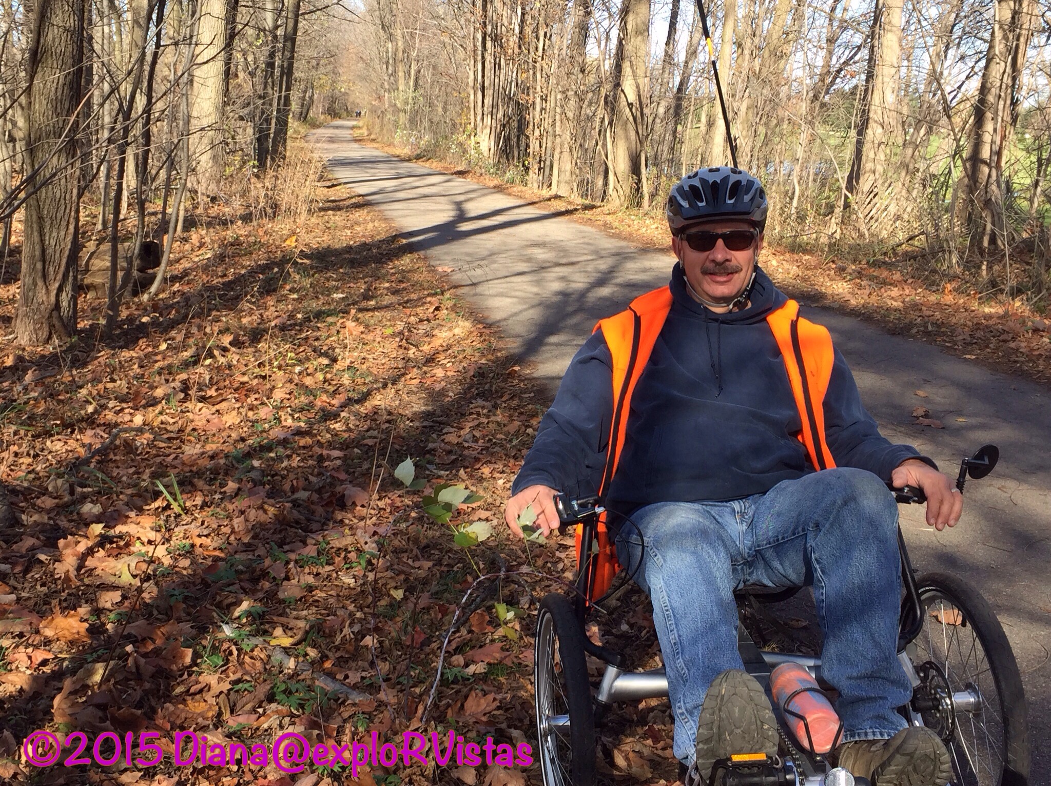
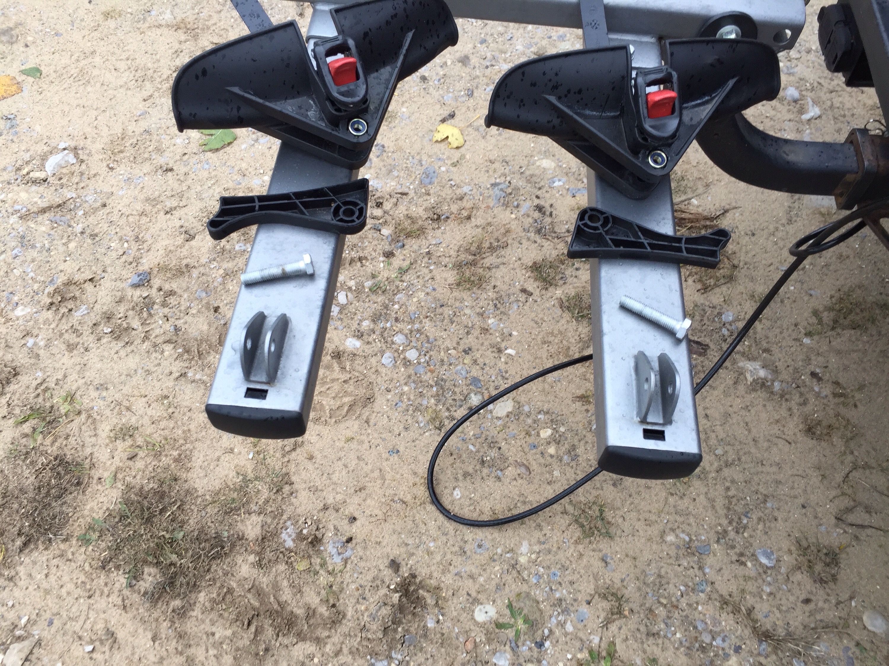
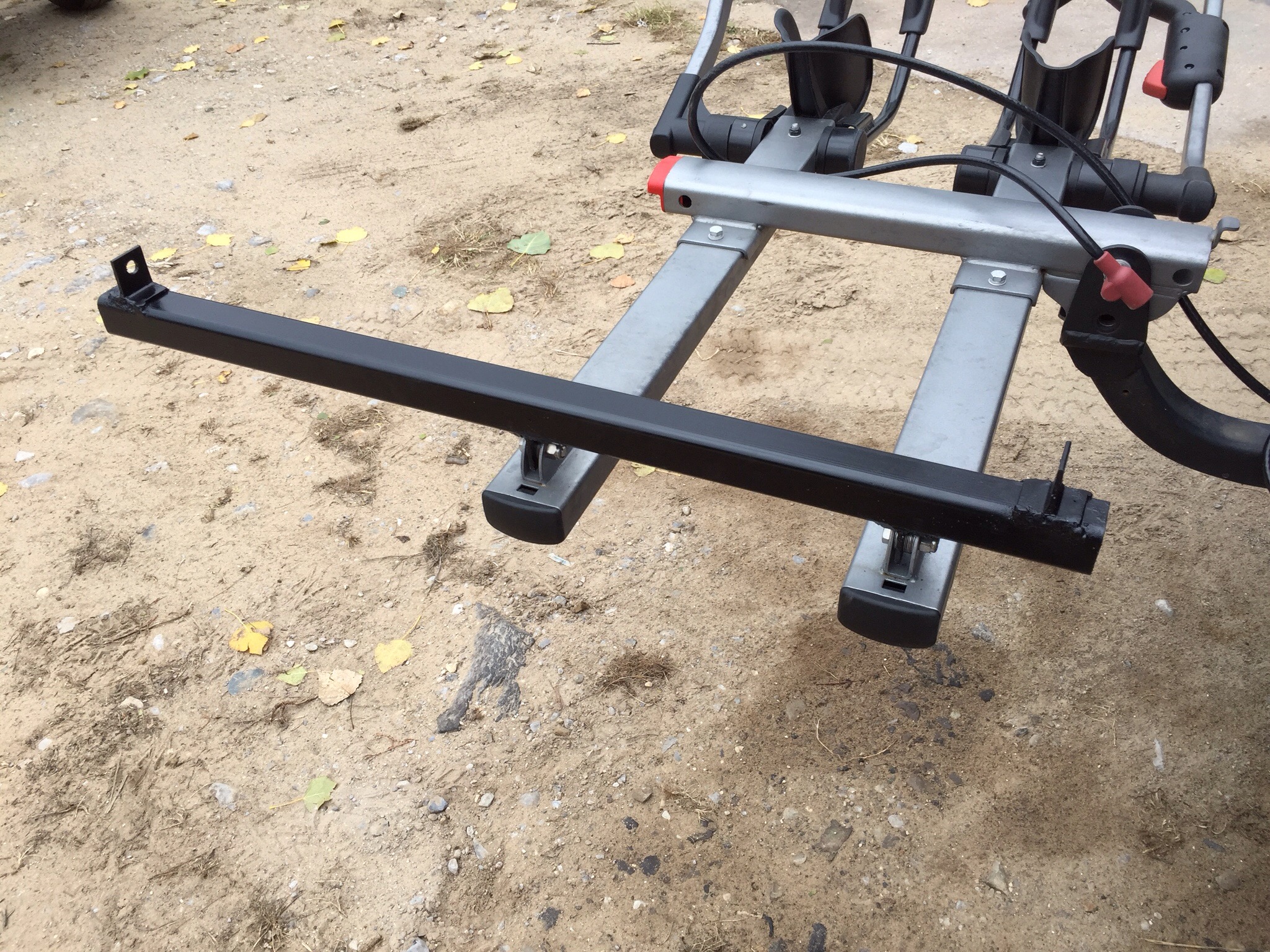
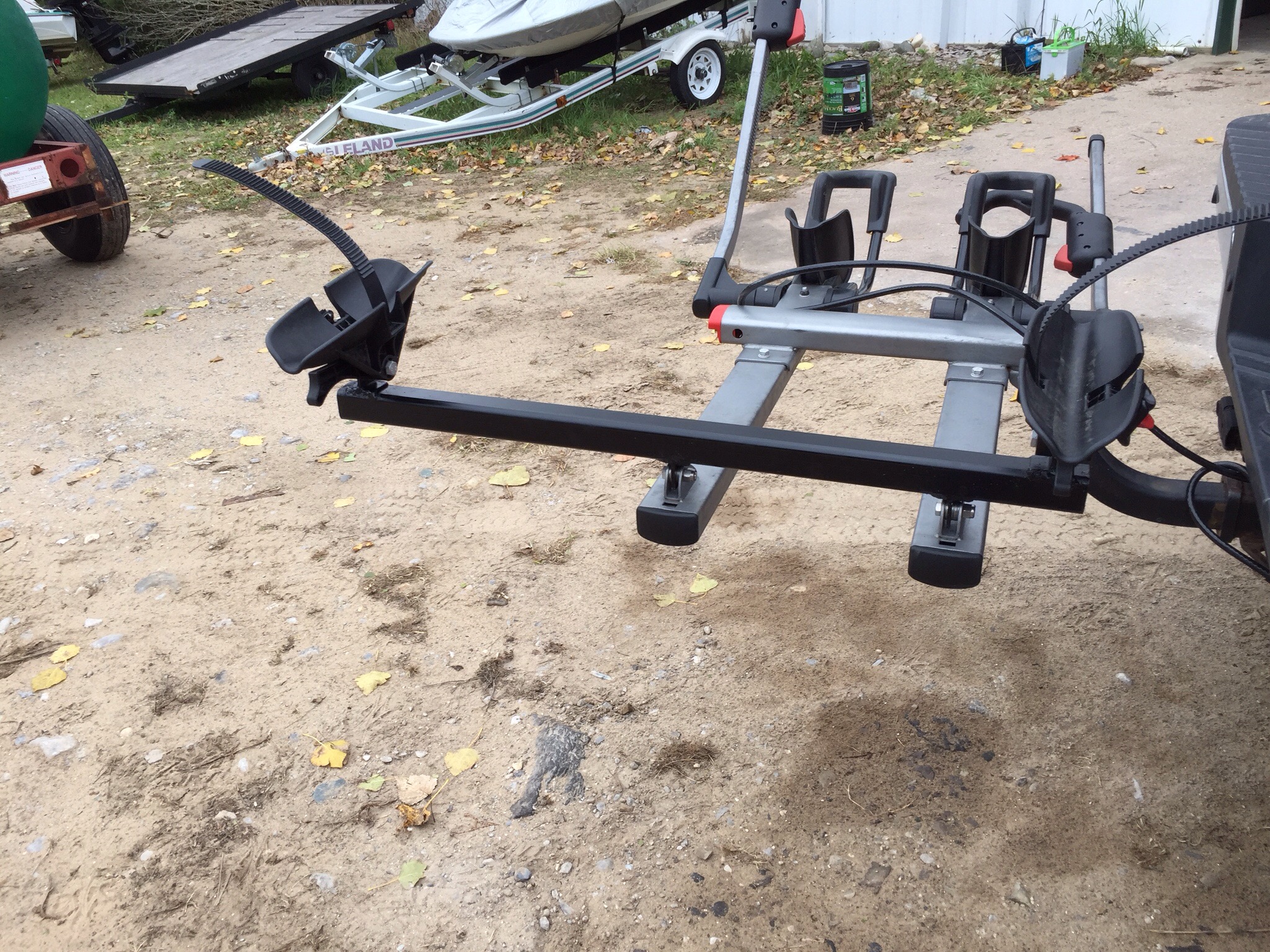
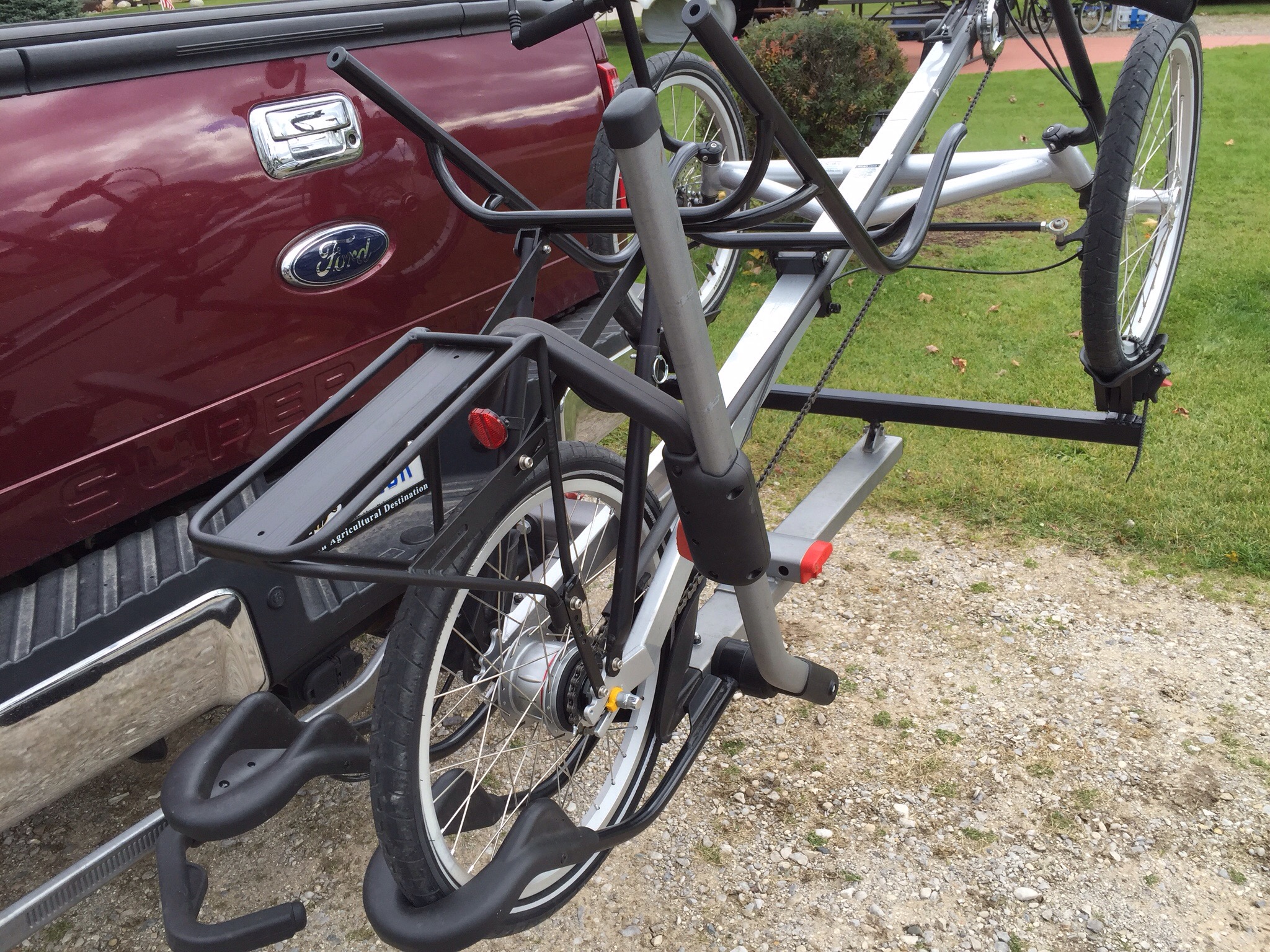
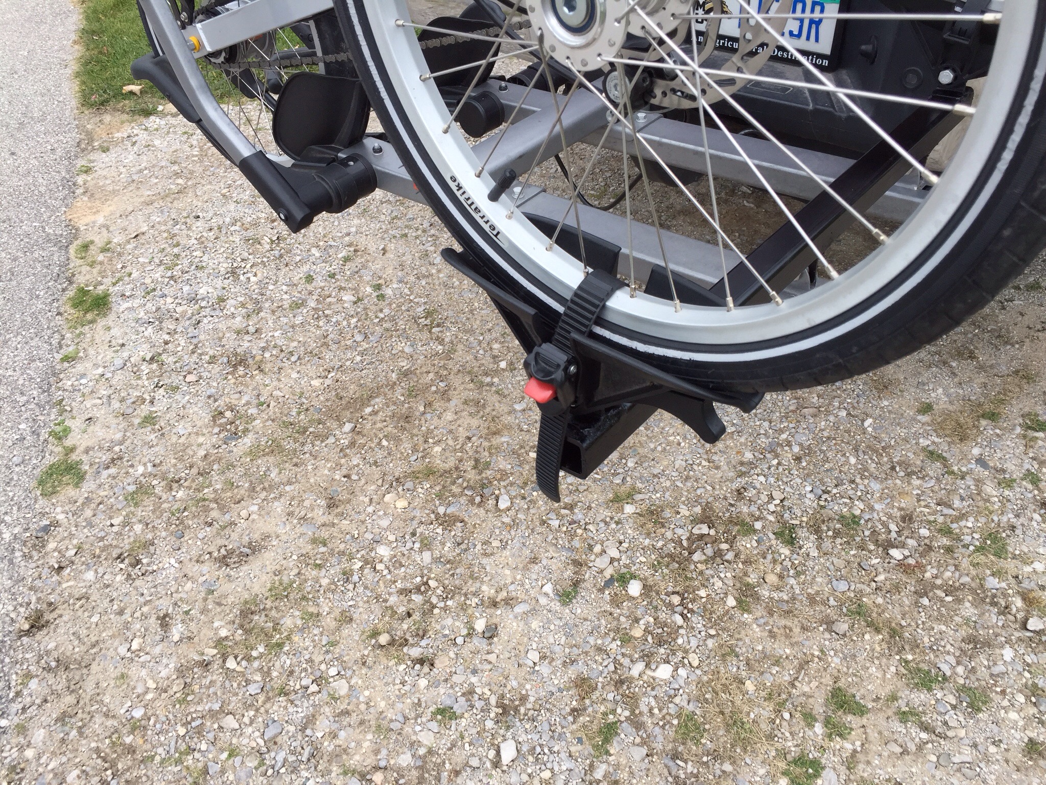
Any chance for us to get out on the trikes is sure to put smiles on our faces!

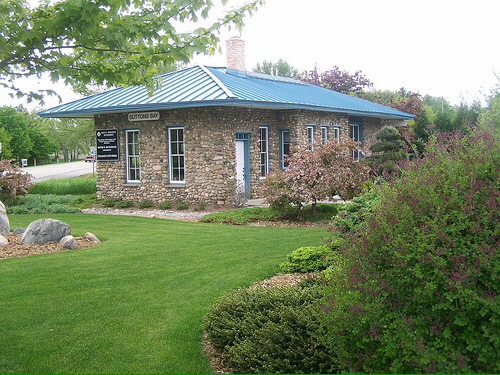
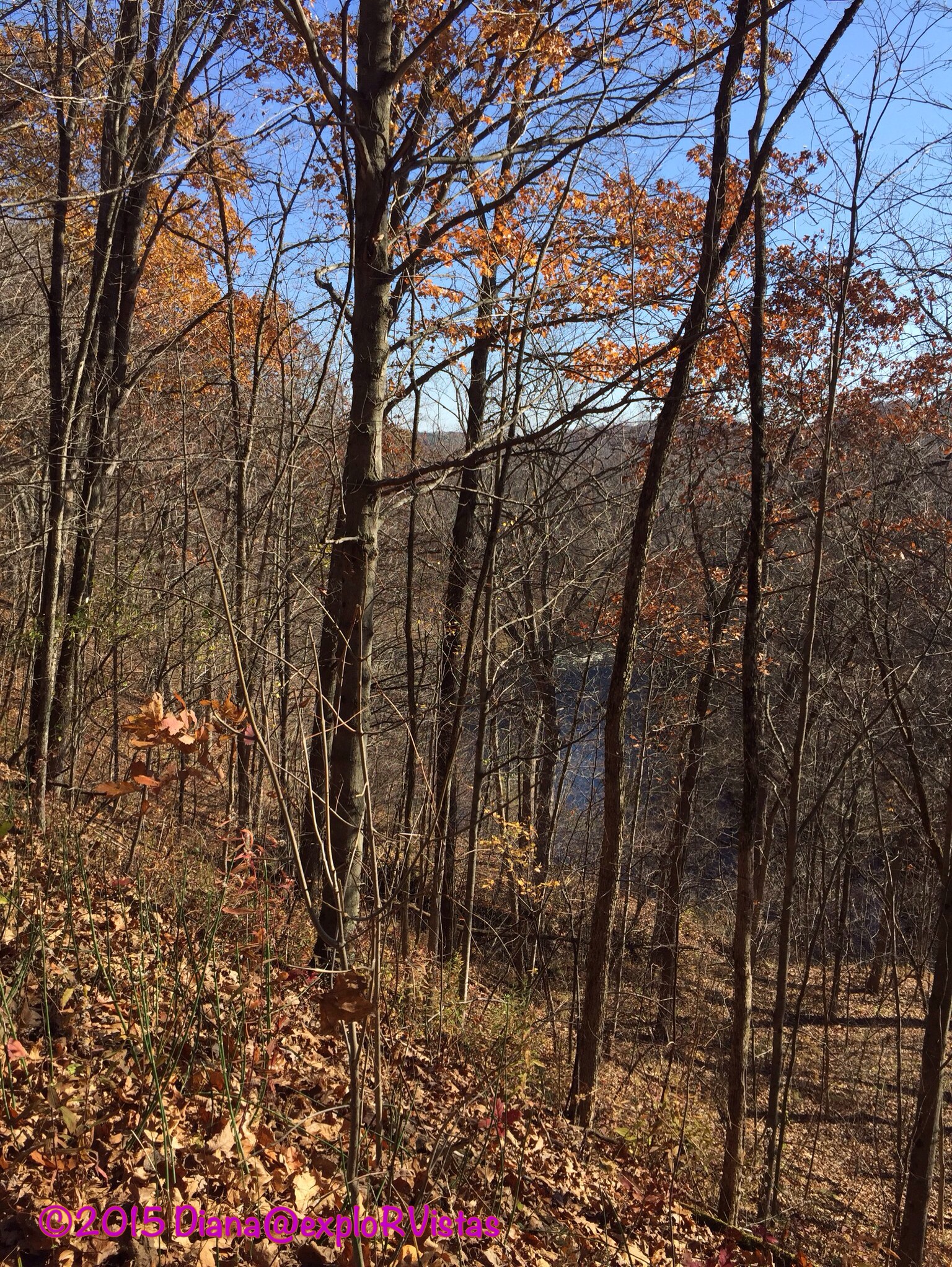
The area is also home to Cape Cod National Seashore.  This park covers 40 miles of Atlantic coastline, and is just above 43,000 acres in size.  It was created in 1961 by President John F. Kennedy.  When not on the rail trail, we could be found in the park!

z3

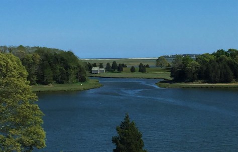
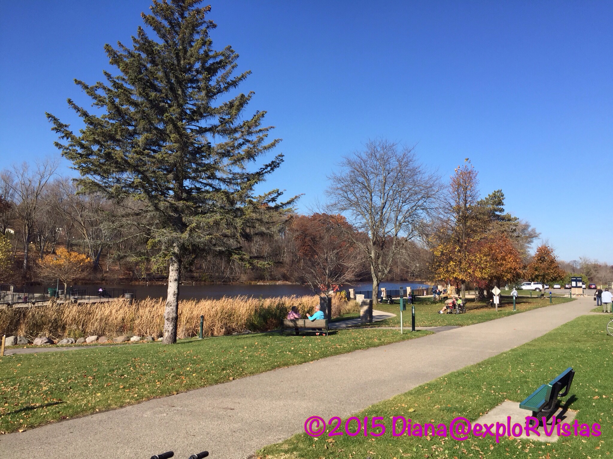
This is the view from the visitor center.  While this looks like an inland lake, it is actually a salt water pond that is subject to the ocean tides.  It is aptly named Salt Pond, and it is smack in the middle of the Cape.

z4

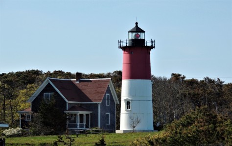
With the miles of coastline comes a multitude of lighthouses.  This is Nauset Light, which was fairly close to our campground.

z5

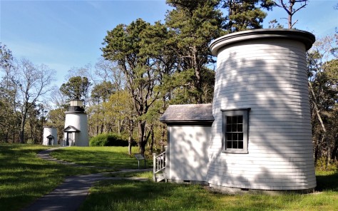
And near that were the relocated Three Sisters lights.  These were originally fixed light beacons, built long before the lenses rotated.  Ships could tell where they were by the fact that there were three of them lit.  When the National Park Service restored them, they only rebuilt one lantern room.

z6

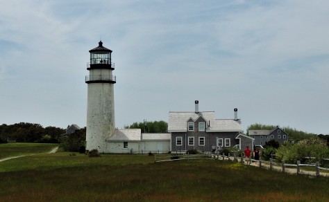
Farther up the coast is the Highland Lighthouse.  This 1857 structure was moved 400 feet back from the sea in 1996.  International Chimney Corporation of Buffalo was the contractor responsible for the work, three years prior to their similar accomplishment at Cape Hatteras.

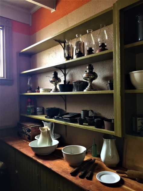
We also visited the Edward Penniman House, which was the home of a very successful whaling captain.

z11

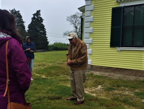
Our guide, a former builder from New Jersey, has been giving tours of the home for over twenty years.  While the home itself lacked furniture and was in need of repair, he was able to tell the story of the family that lived here.  It was nice to see such a dedicated volunteer.  🙂


z7

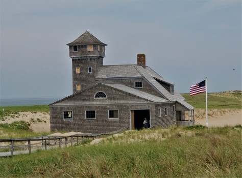
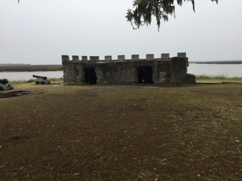
We also visited the Old Harbor Life Saving Museum.  This structure is at the north end of Cape Cod.  The plywood on the windows covers blown out windows from winter storms earlier in the year.  As are many of the structures along this coast, this building was in danger of falling into the sea.  It was moved here from further down the shore by barge in 1977.  This museum is maintained exactly as it would have been when it was a lifesaving station, right down to the living quarters.  We wanted to see this place, as we are going to be volunteering in a similar building in Michigan later this summer.

z8

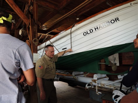
Our tour guide gave us a very detailed description of what occurred at this facility.

z10

Room by room, David explained at length the day-to-day life at this remote outpost.  The men who worked here never had a chance to become bored, as they were constantly practicing for a possible shipwreck rescue.

z12

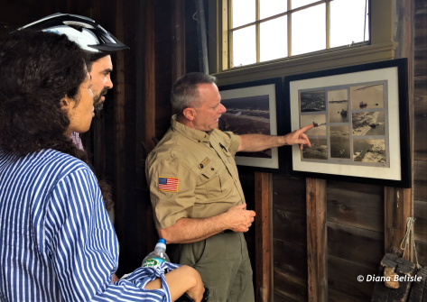
He inspired us for our upcoming experience, and we will using some of what he taught us in our tours.  We’ll just have to be careful not to call a harbor a hah-bah. 🙂

That wraps up our enjoyable stay on Cape Cod!  We had a great time exploring this special place.  Next up, we make a couple of nice stops in New Hampshire and Maine as we move north towards Acadia National Park.  Be sure to stay tuned for that.  Until then, safe travels to all!


Take note that we have added a Disclosure and Privacy Policy page immediately below our header, to bring us in compliance with GDPR.  Many thanks to Gaelyn at Geogypsy for alerting us to the need for it, Ingrid at Live Laugh RV for help in setting it up and Nina at Wheelingit for a wealth of information on the subject. 


Jekyll and St. Simons Islands

When we left you last, we had explored northern Florida in an area that had been contested by the French and the Spanish back in the 1500’s.  On Thursday, we moved a mere 70 miles up the road to Brunswick, Georgia.  Here we found stories of the pre-Revolutionary British, the Civil War, the early 20th Century elite, and modern day foreign trade.  With only a few days here it was not only a lot to discover, but it was hard to keep it all straight!

We began by pulling into our first Boondockers Welcome location.  This is a program where people allow you to camp on their property for free.  This particular location was hosted by Leslie and Skipper, and they were just super to us.  We even hung out with them one evening around their fire pit, and got to know them and their neighbors over cocktails.  To show our appreciation for their hospitality, we gave them a small gift bag with some goodies from Michigan.  🙂

z14

They lost several trees during Hurricane Irma.  Fortunately, they all fell across the driveway when no one was home.  Thank you again, Leslie and Skipper!

On Friday, we headed out to St. Simons Island.  This particular barrier island is home to Fort Fredrica, an 18th Century British outpost and townsite.  The settlement was put into place under the watchful eye of James Oglethorpe; a soldier, member of Parliament, and a visionary.  His plan was to establish somewhat of a Utopia for people in debtors prisons back in England, all the while creating a buffer between British colonies to the north and the Spanish to the south.  A fort was erected along the Altamaha River in 1734, and a fortified town was laid out just behind it.  There were 84 lots, most of which were 60 by 90 feet.  Each family also received 50 acres in the surrounding countryside to raise crops.  As the town began to spring up, the Spanish to the south took notice.  Sensing the rising tensions, Oglethorpe sailed back to England and brought back a regimen of over 600 soldiers.  In 1740, the British went on the offensive and set sail for St. Augustine.  The ships bombarded the Spanish fort for two weeks straight to no avail.  Details as to just why that was, can be viewed in our post on St. Augustine by clicking here.  The British headed back to Fredrica and the Spanish followed not too long afterwards.  They brought an army of 2000 men with the intention of taking the fort and town.  Unfortunately for them, the British were more familiar with the area and their troops and townsfolk  used guerrilla tactics to chase the Spanish soldiers back south.  Without too much bloodshed, the skirmish ended and order was restored.

z8

When we arrived we requested our Junior Ranger materials, and enjoyed the movie and displays in the visitor’s center. Not letting the fairly steady rain deter us, we headed out through the town-site to the fort.  The river has changed course, so much of the location of the fort is now underwater. A couple of magazines remain above ground. The foundations of many structures have been unearthed by extensive archaeological studies, including the storehouse which John Wesley lived above.  We were able to make out the earthen berms that were the base of the fort’s walls, as well as footings of many of the homes.

z11

The town’s streets were well marked, as were each of the foundations.  After we received our badges, we went to explore the rest of the island.

Across from the fort is this monument and memorial garden to John and Charles Wesley.

z3

John Wesley is the founder of the Methodist Church. Diana is United Methodist and was pretty excited to walk the same ground as John Wesley, especially on Good Friday.  He made five separate trips to Fredica from England in 1736 and 1737.  It was after leaving Georgia for the last time that he began the Methodist Church.  There is a large Methodist conference center and museum on the island.  We drove around the beautiful campus, but were too late to tour the museum.

We also visited the St. Simons Lighthouse.

z6

This impressive structure looked very familiar to us.  It turns out that the engineer responsible for it was a man named Orlando Metcalfe Poe.  He was General Sherman’s chief engineer who accompanied him on his March to the Sea near the end of the Civil War.  After the war, Poe became the chief engineer of the U.S. Lighthouse Service. He developed this style of lighthouse and St. Simons was constructed in 1872.  Just prior to that, Poe was promoted to become the Great Lakes lighthouse chief engineer, as the region’s burgeoning shipping industry required sentinels to keep them safe.  He oversaw the construction of 8 lighthouses on the Great Lakes that used this same design.  He also designed the first of the Soo Locks, which was named after him.  He was injured during its construction and died of a subsequent infection in Detroit shortly afterwards.  He is buried in Arlington National Cemetery. His lock, which he never saw completed, was totally rebuilt in the 1960’s to allow 1000 foot freighters to pass between Lake Superior and the lower lakes.  They kept his name on it. 🙂

z5

The view from the top is outstanding!  The original 3rd order Fresnel lens is still in use.

While we were at the top of the tower, we asked a local woman about the ships pictured above.  Brunswick is home to a huge port that deals with ‘roll off-roll on’ cargo, in other words…vehicles.

z7

This is a screenshot of the port from Google Maps.  The five rows in the area circled in red contains over 3000 cars and trucks.  Considering all the other vehicles in the lots, there has to be well over 50,000 of them there!  We saw several of those ships coming and going while we were in Brunswick, so they must really employ a lot of people to move those cars.

On Saturday, we made our way to Jekyll Island for a bike ride.  We had scoped it out on Thursday evening, and we found the paths on the island to be favorable for our TerraTrikes.

z1

That day, we visited Driftwood Beach.  In the photo, I am looking across the water at St. Simons lighthouse.

z2

We also toured the historic district that was established in the late 1800’s.  The Jekyll Island Club attracted the wealthy elite; names like Rockefeller, Morgan, and Vanderbilt.

z4

Here is the Rockefeller ‘cottage’.  🙂

So on our return trip, we set out to circle most of the island.

z13

We rode through the historic district…

z10

…over the marshes…

z12

…and along the seashore.  It was good to be back on the trikes!

That wraps up our time in Brunswick.  Our next destination is Savannah, but not before a quick stop to see a good friend.  Stay tuned for that adventure!  Until then, safe travels to all.


Rolling Forward Through the Past

Sometimes a wonderful resource is born from misfortune.

In 1901, the Grand Rapids and Indiana Railroad  completed a spur from Traverse City to Northport, Michigan under the name Traverse City, Leelanau and Manistique Rail Road.  As part of the line, they also established a rail car ferry from Northport to Manistique in Michigan’s Upper Peninsula. Prior to that in 1874, they completed a rail spur from Traverse City back to their main north-south line (Cincinnati, Ohio to Mackinaw City, Michigan) at the tiny village of Walton, Michigan, later renamed Walton Junction.  That 1874 line began the immigration boom that Traverse City still sees to this day.  Diana and I had passed through Walton Junction for years on our way to her parent’s cottage on Fife Lake, never realizing that the name was derived from the meeting of theses two rail lines.

Competing with the already-established Ann Arbor Railroad for freight across the lake, it was quickly discovered that the ferry service wasn’t going to be profitable, so it was discontinued in 1908.  Freight and passenger service continued on through several different companies until 1975.  In 1989, the Leelanau Scenic Railway was established on the line, running to Suttons Bay until 1995, at which time the right-of-way was abandoned and the tracks were torn up.  All that was left of the railroad was the graded land, several bridges, and a handful of depot buildings.

The depot in Suttons Bay as it appeared in 1920…

…and repurposed as a law office today.

Meanwhile in Traverse City, the Traverse Area Recreational Trail had been built along an east/west rail corridor that ran through town.  With the success of that route, the Leelanau Trails Association purchased the 17 mile Leelanau Scenic Railway corridor from Traverse City to Suttons Bay….and work began on what was to become the Leelanau Trail. Asphalt paving was completed in 2013, and the pathway was designated as part of U.S. Bicycle Route 35.

Where trains struggled to get through the snow in winter…

…cross country ski trail groomers now run in the cold weather.

Where the passenger cars used to make their way northward…

…we now find ourselves riding along their former route, 115 years after the railroad was built.

Pedaling the Leelanau Trail (seen above in red) has become one of our favorite pastimes.  We started riding it in earnest last fall when we purchased our TerraTrikes.  Several wineries are located a short distance from the trail, so there isn’t a shortage of places to visit.  🙂    The scenery along the route is amazing.

During the spring, the cherry blossoms carpet the hillsides.

Here is Diana photographing a bank full of Forget-Me-Nots.

These little beauties were the theme we chose for her mom’s funeral guest book; as a result, seeing these made this day pretty darn special.  🙂

We enjoy seeing this draft horse and donkey along the way…

…as well as this huge cow that keeps them company.  🙂

While many of the railroads of northern Michigan were not able to sustain their businesses, the efforts of the railroad workers are being reused through the development of these trails.  We consider ourselves fortunate to be located so close to the Leelanau Trail this srummer, and we look forward to many more rides along this historical pathway before we leave this fall.

——————————–

Help support exploRVistas (at no extra cost to you) by shopping at Amazon through this link.  🙂
——————————–

explorRVistas is a participant in the Amazon Services LLC Associates Program, an affiliate advertising program designed to provide a means for sites to earn advertising fees by advertising and linking to Amazon .com. Shopping through our link doesn’t add anything to your cost, but it does help support this blog. Thank you for shopping through exploRVistas!

Rail Trails of Grand Rapids, Michigan

On November 1, we relocated back to Grand Rapids, Michigan to be near Diana’s mom.  We are evaluating the situation and trying to make the best decision regarding where to spend the winter.

Our first week back, we have been fortunate to have had some great fall weather.  For three consecutive days, we had temperatures in the low 70’s, and we took advantage of the sunshine and checked out the local rail trails.  The Grand Rapids metro area is home to an extensive collection of recreational trails, and each year brings more miles of paths onto the region’s map.

  
The above image shows the trails marked in red.  As you can see, it is quite possible to ride a very long distance!  🙂

On Monday, November 2, we drove to the southern terminus of Kent Trails in Byron Center. This asphalt pathway was paved in 1992, and is the oldest rail trail in the region.  It runs on the rail bed of the defunct Grand Rapids and Indiana Railroad, which first ran on this portion of land in 1870.  At its peak, the railroad ran from Cincinnati, Ohio to Mackinaw City, Michigan, and was the route that Ernest Hemmingway took on his excursions to Northern Michigan from Chicago.

  
Coming north out of Byron Center, the trail runs between the two halves of Railside Golf Course.  There are two of these graceful golf cart bridges over the path.

  
A few miles north, the trail goes under M-6, otherwise known as the South Beltline or the Paul Henry Freeway.  We purposely are not political on this blog, but Mr. Henry’s legacy bears mentioning.  Paul Henry was a Republican U.S. Congressman who oversaw the same district that Gerald Ford held when he was a congressman.  From that office, Ford moved into the vice-presidency and then the presidency.  Mr. Henry was known to vote with his conscience, even if it meant that he went against the rest of his party and President Reagan, which was quite remarkable in such a heavily Republican district.  We had the pleasure of meeting him as he passed us at an outdoor cafe in Grand Rapids, and he was a true gentleman who was well respected on both sides of the aisle.  He ended up getting a brain tumor and passing at age 51.  During his tenure, this much needed highway was in the planning stages.

  
When we got to the five mile mark, we discovered that the trail passed by the new Cabela’s store in Grandville.  We stopped for a little bit, then headed back the five miles to our truck.

On Tuesday, we rode on the northern portion of the Paul Henry Thornapple Trail.  This particular trail is still under development, and runs along a former railroad between Grand Rapids and Vermontville to the southeast.  When complete, it will be 42 miles long.

  
We started on the outskirts of town and rode north into Kentwood, a southern suburb of Grand Rapids.

  
The trail was very nice.  We did have to cross a five lane portion of 52nd Street, but it was at a traffic light.  There was a nice city park with restrooms near that intersection.

  
We came to an intersection with the East-West Trail and continued north on the Paul Henry Trail.  The neighborhood started to get a little too urban for our taste, so we backtracked to the East-West Trail and checked it out.

  
This is a fairly new route that runs along a series of high tension power lines through a Consumers Energy corridor.  It’s definitely a suburban route, and is a great use of the land.  This particular raised wooden path over a swamp was first rate!

  
Kudos to Consumers Energy for partnering with the community on this trail!

On Wednesday, we decided to check out one of the premiere trails in Michigan: The Fred Meijer White Pine Linear State Park.  This trail runs along the same Grand Rapids and Indiana corridor that Kent Trails runs on, only the White Pine is from Grand Rapids north to Cadillac…a distance of 92 miles.  

  
The southern 22 miles is asphalt, with the rest being a hopscotch of asphalt and crushed limestone.  We started out in the town of Belmont and headed north.


In the parking lot, we had met this fellow TerraTrike owner who constructed this sidecar for her doggie. That was one happy puppy!
  
The trail ran near the Rogue River, and there were several deep ravines.  This particular portion of the railroad grade dates back to 1867.

  
Just prior to passing under 10 Mile Road, the route crosses an old bridge over the river.

  
It then runs through the quaint town of Rockford.  Longtime readers may recall our post from this town last December called ‘A Small Town Christmas’.  On this beautiful November day, the town was packed with people enjoying the sunshine.

  
We had a trailside lunch at Ramona’s Table, which was delicious!

From there, we continued north for a bit.

  
Pretty soon, Diana pointed skyward…


….and the leaves appeared to be raining out of the clear blue sky!
  
We ended up pedaling to 12 Mile Road, which was six miles from our starting point.  We headed back and called it a day.

These pathways are just a small sampling of what the area has to offer.  We look forward to exploring more of West Michigan’s trails in the future.
———————

Search Amazon.com here

———————
Amazon, the Amazon logo, AmazonSupply, and the AmazonSupply logo are trademarks of Amazon. com, Inc. or its affiliates. exploRVistas is a participant in the Amazon Services LLC Associates Program, an affiliate advertising program designed to provide a means for sites to earn advertising fees by advertising and linking to amazon. com. 

Hauling Our New Trikes

One thing is for certain: we love our new TerraTrikes!  We knew they would be a challenge to transport though.  This post will show you what we came up with to solve this issue.

 
When we purchased Diana’s TerraTrike, it didn’t take us long to figure out how to haul it.  With the fifth wheel, we needed to get it out of the way of the hitch.  Mounted in the position above, it is safely in front of the trailer.  We’ve since purchased a TerraTrike rooftop kit from Suttons Bay Bikes, which consists of three foam blocks for the tires, and two straps.  I use the straps in place of the orange bungees.  We also remove the seat fabric, which easily snaps on and off.  Trike #1…issue solved!

When I decided to also purchase a trike (as Pam from Oh, the Places They Go kidded with me, “I had a feeling this was coming”), Diana and I had to come up with a solution…and fast.  Our time at Wild Cherry is winding down for this year, and we now owned two trikes, two bikes and a two bike receiver-mounted rack.  We quickly sold the bikes on Craigslist…as in hours after I posted the ad.  That was a relief.  🙂   The rack is a very sturdy Yakima, and it has served us well on the back of the fifth wheel.  I took a long look at it, hoping to come up with a way to modify it for my trike…without losing the ability to change it back to a two-bike rack, if we needed to sell it.  Here is what I came up with:

  
Here is the rack after I flipped the outer rail end to end.  It originally had one bike facing left and one bike facing right.  My goal here was to have both of the wheel supports on the right side in this photo to be aligned with each other.  The single rear wheel is going to ride in the left wheel support, furthest from the truck in this image. This rack also mounts to the back of the trailer, when the truck and RV are hooked up.

With the wheelbase of the two front wheels being 29-1/2″, the current 11″ spread between the wheel supports on the right wouldn’t work to support the front wheels. This is where the modification was needed.


I disassembled the supports from the rack and set them aside to use later.

  
This is the piece of 1-1/2″ square steel tube I picked up yesterday at a Traverse City steel supply company.

  
I cut and drilled four small pieces from some scrap steel that Jim (Wild Cherry’s owner) had on hand.  It helps that he is also a cherry farmer, as he has all sorts of equipment that he let me use.  🙂 Thanks Jim!

 
Here are the four pieces.  The steel was from an old garage door track, hence the extra hole in the one on the right.  That won’t affect anything.

  
I then dusted off my welding skills that I hadn’t used in 35 years and fired up the arc welder….yes, Jim has one of those also!  I welded two of the flanges I had made on one side of the bar, the same distance apart as the wheelbase of the trike.

  
I then marked the center of the bar on the opposite side of the flanges.  I lined that up with the outer arm of the rack, as that is where the center of the trike was going to be.  I then marked the bar where it was going to attach to the inner arm…the mark seen here on the right.

  
I then welded the two remaining flanges into position.  I cleaned up the assembly a little with a hand grinder…my welds were strong, but none too pretty.  :). Once I was done with that, I gave it a couple of coats of black satin Rustoleum.

  
I mounted the bar to the rack with stainless steel bolts and lock nuts. I used stainless steel washers as spacers to fill the void between the flange on the rack. 

  
I then remounted the wheel supports in their new position on the bar.  All that was left now was to head back up to our campsite and try it with a trike!


It worked!  Here is how the trike fits in the rack.

  
The wheels strap down, just as they did before.

  
Here is a photo from the back.  The one trike actually weighs less than the two bikes combined that used to ride there, so this setup should be very stable.

  
And when the trike is off, I am able to still fold the rack into its upright position.  If for any reason we ever want to sell the rack, all we have to do is bolt it back into its old position, discard the bar I manufactured, and it is good to go.

Trike #2…issue solved!