Tag Archives: North Country Trail

We’re still “Falling” for each other after 33 years!

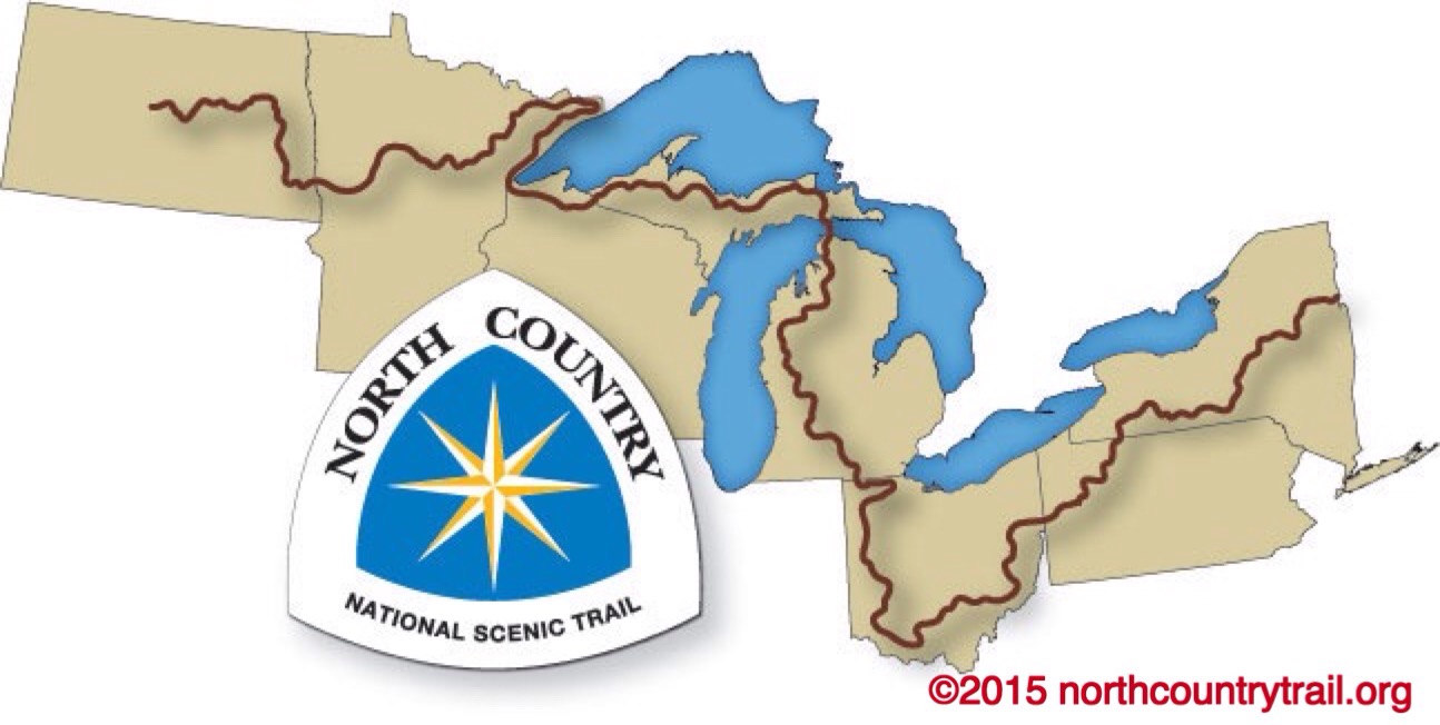
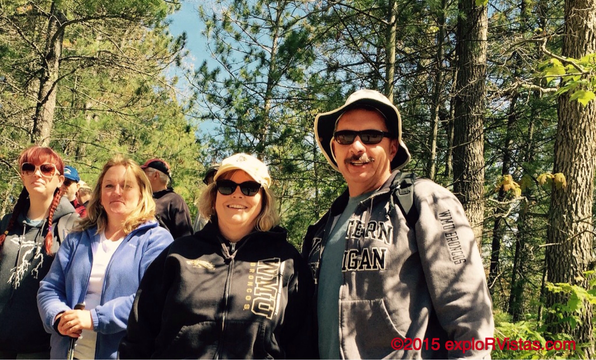
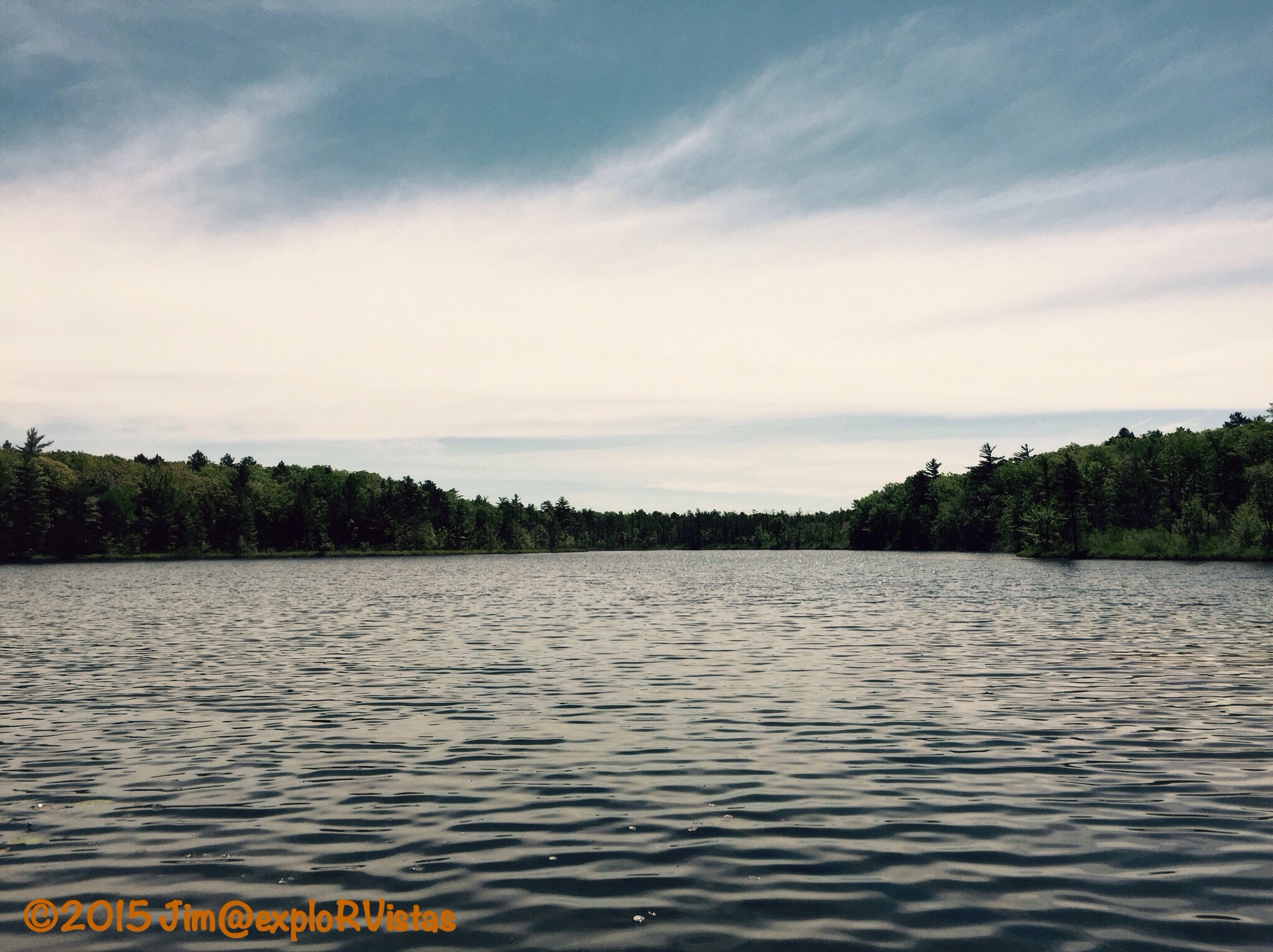
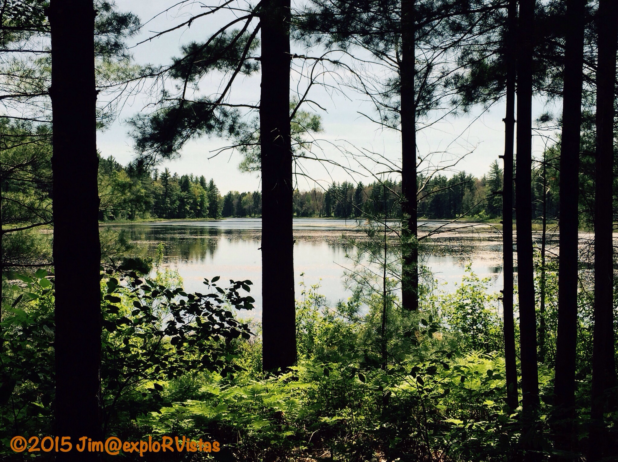
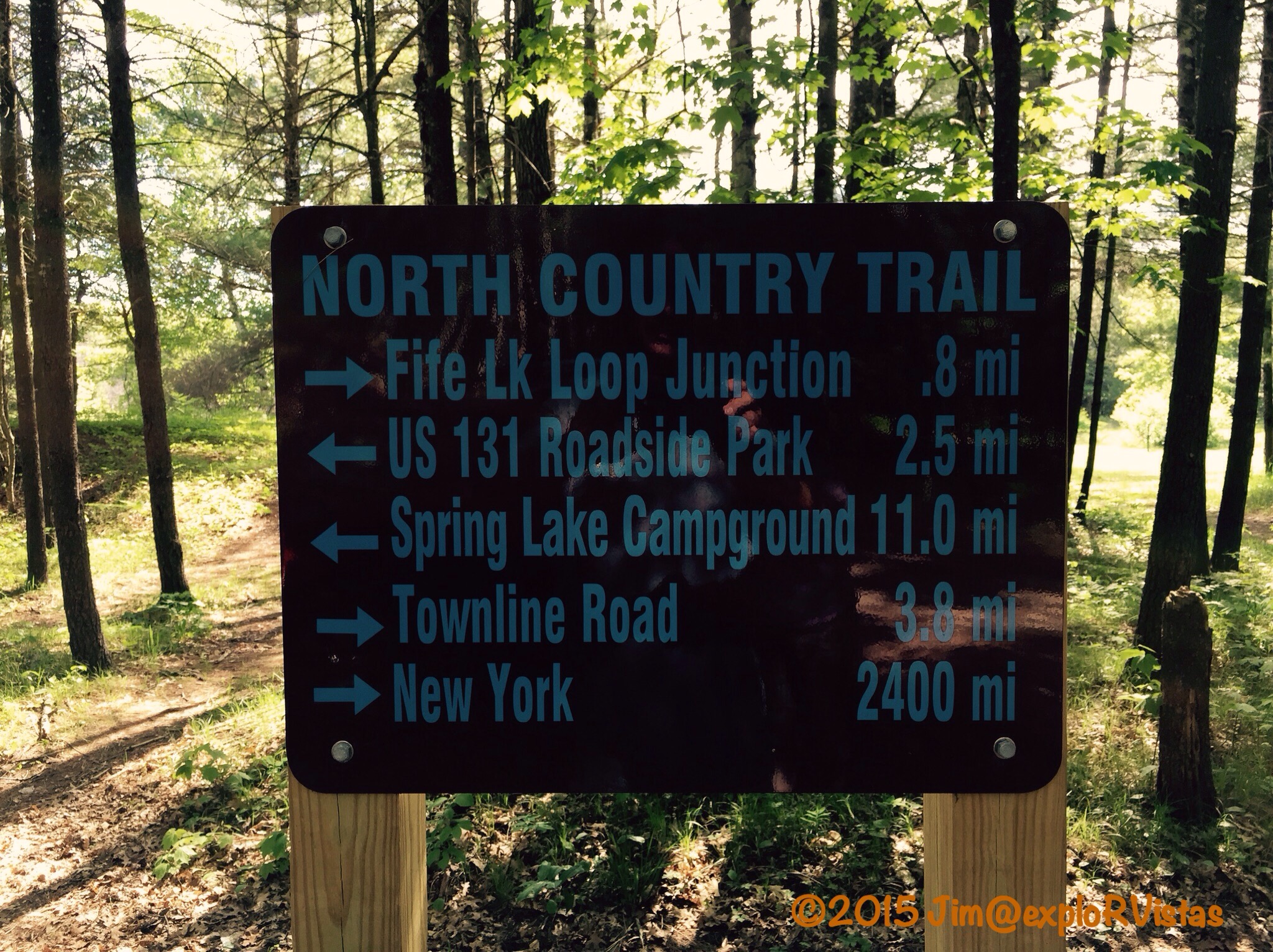
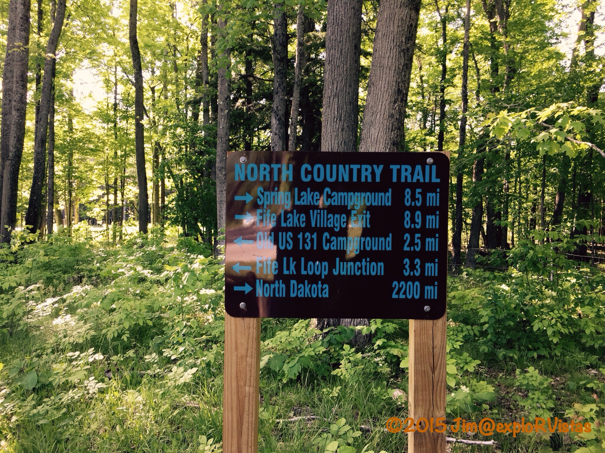
Thursday, August 6 was our 33rd wedding anniversary.  We like to celebrate our anniversaries by going either hiking or kayaking, and this year was no different.  We chose to go for a hike on the North Country Trail south of Ontonagon, Michigan.

  
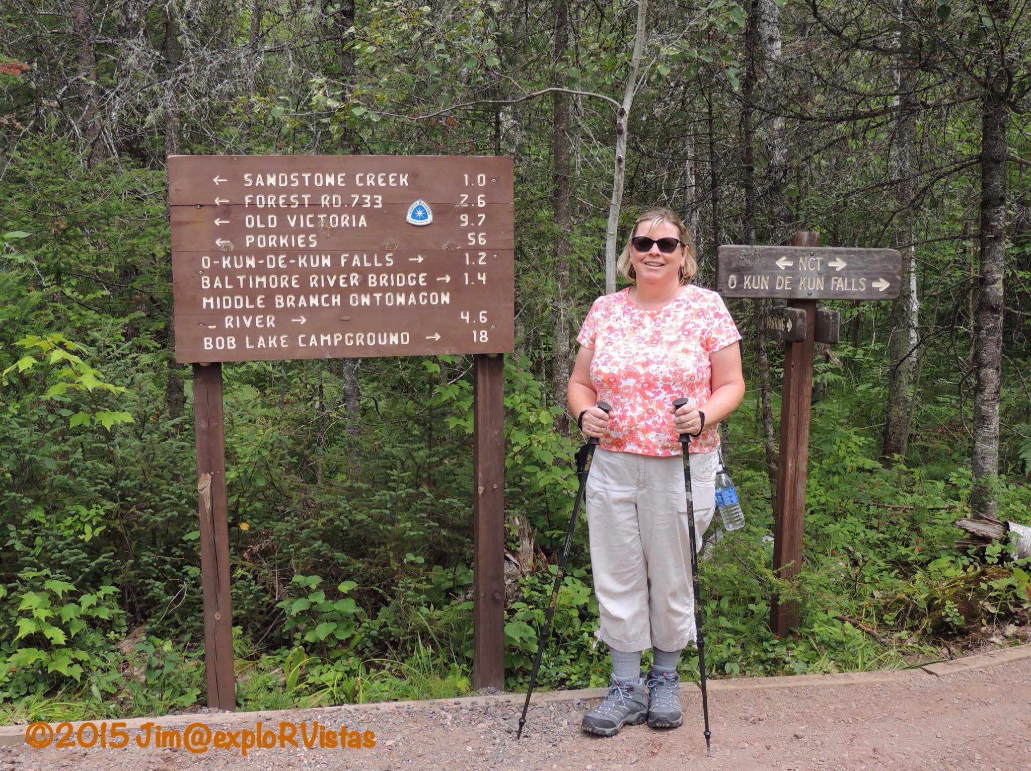
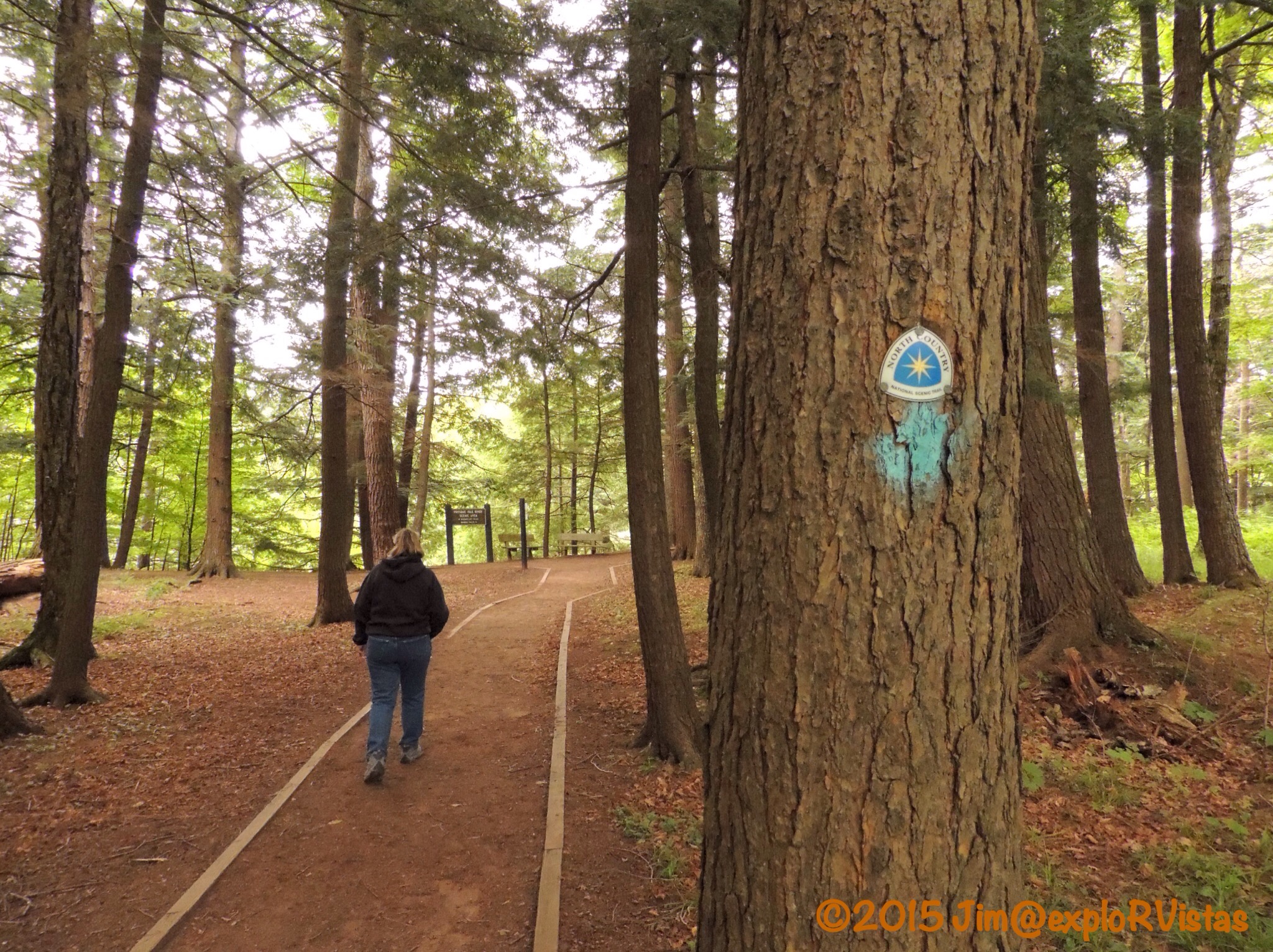
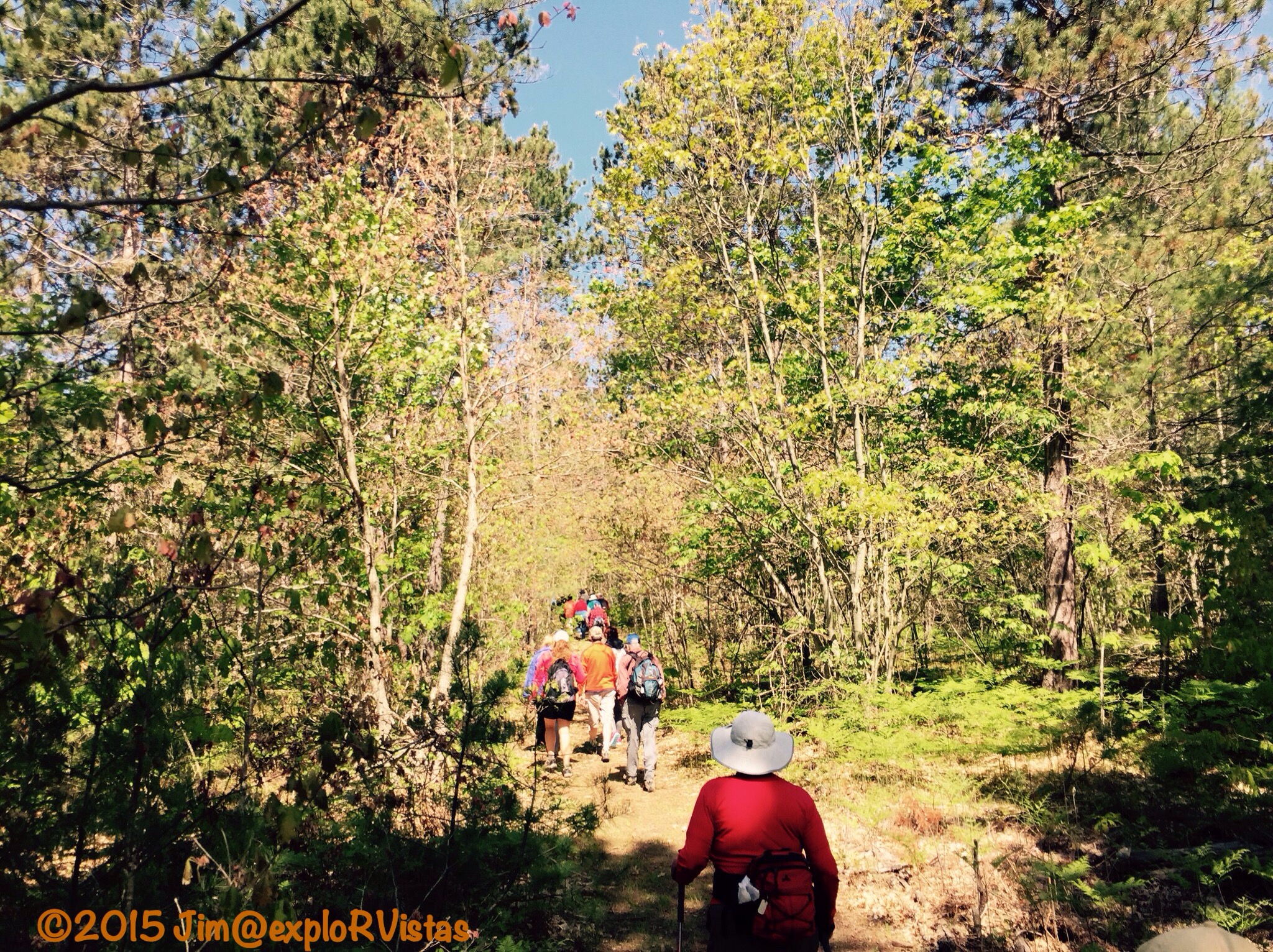
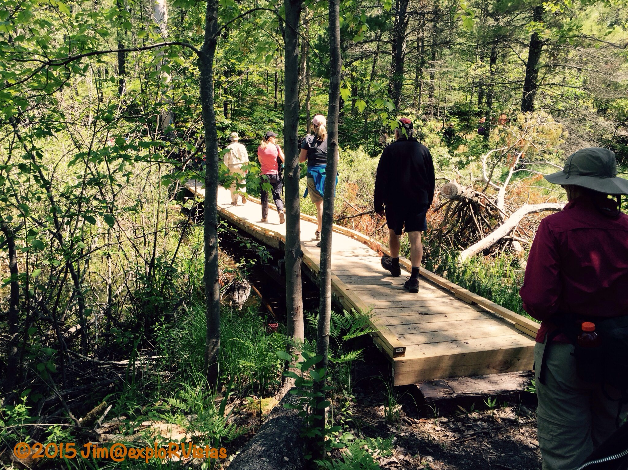
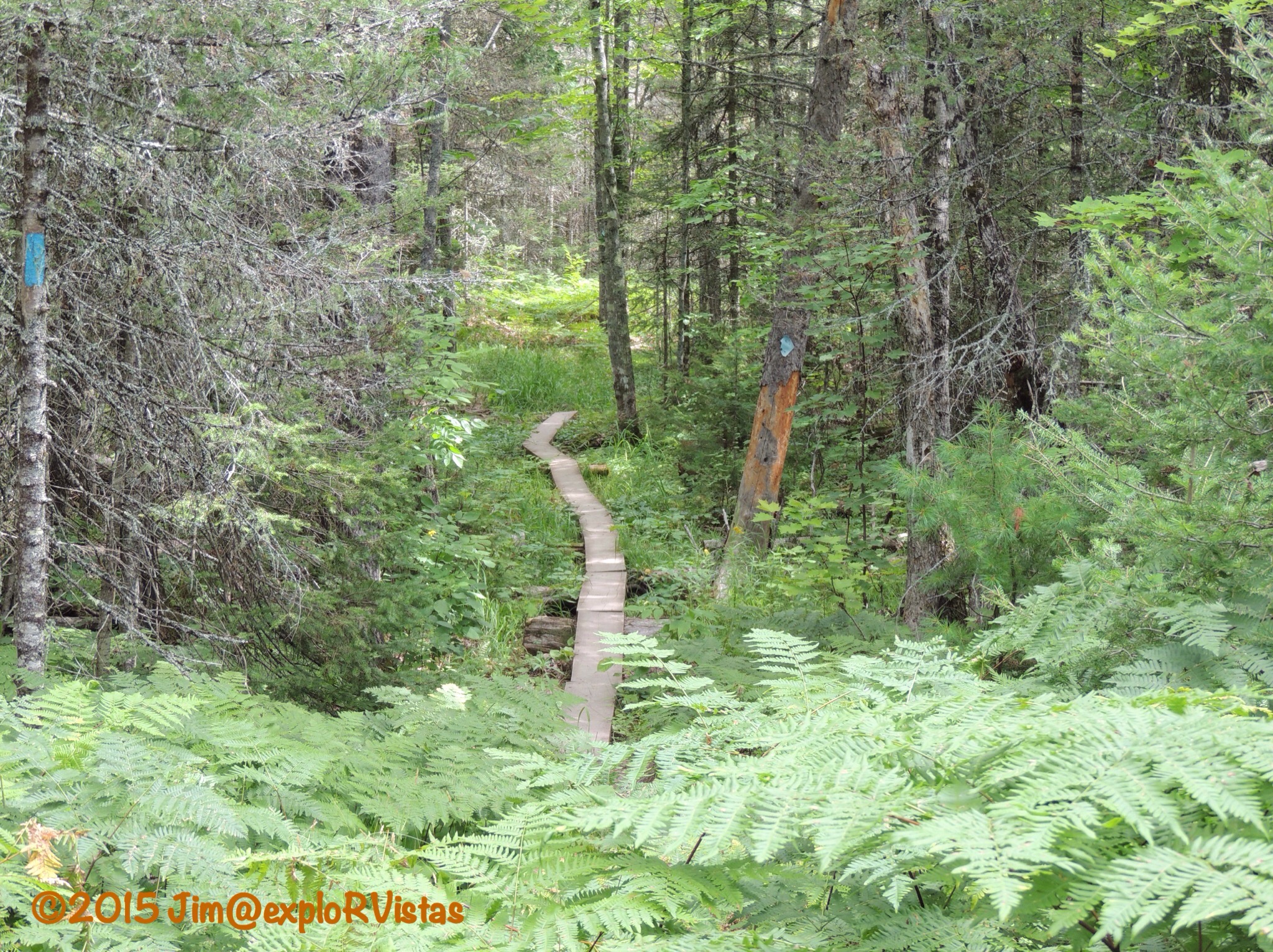
The hike we chose was O-kun-de-kun Falls and the Baltimore River Bridge.  When we arrived at the trailhead, we saw trail workers hauling aggregate from the parking lot down the trail.  As is seen in the above photo, the trail is level stone between treated lumber.

  
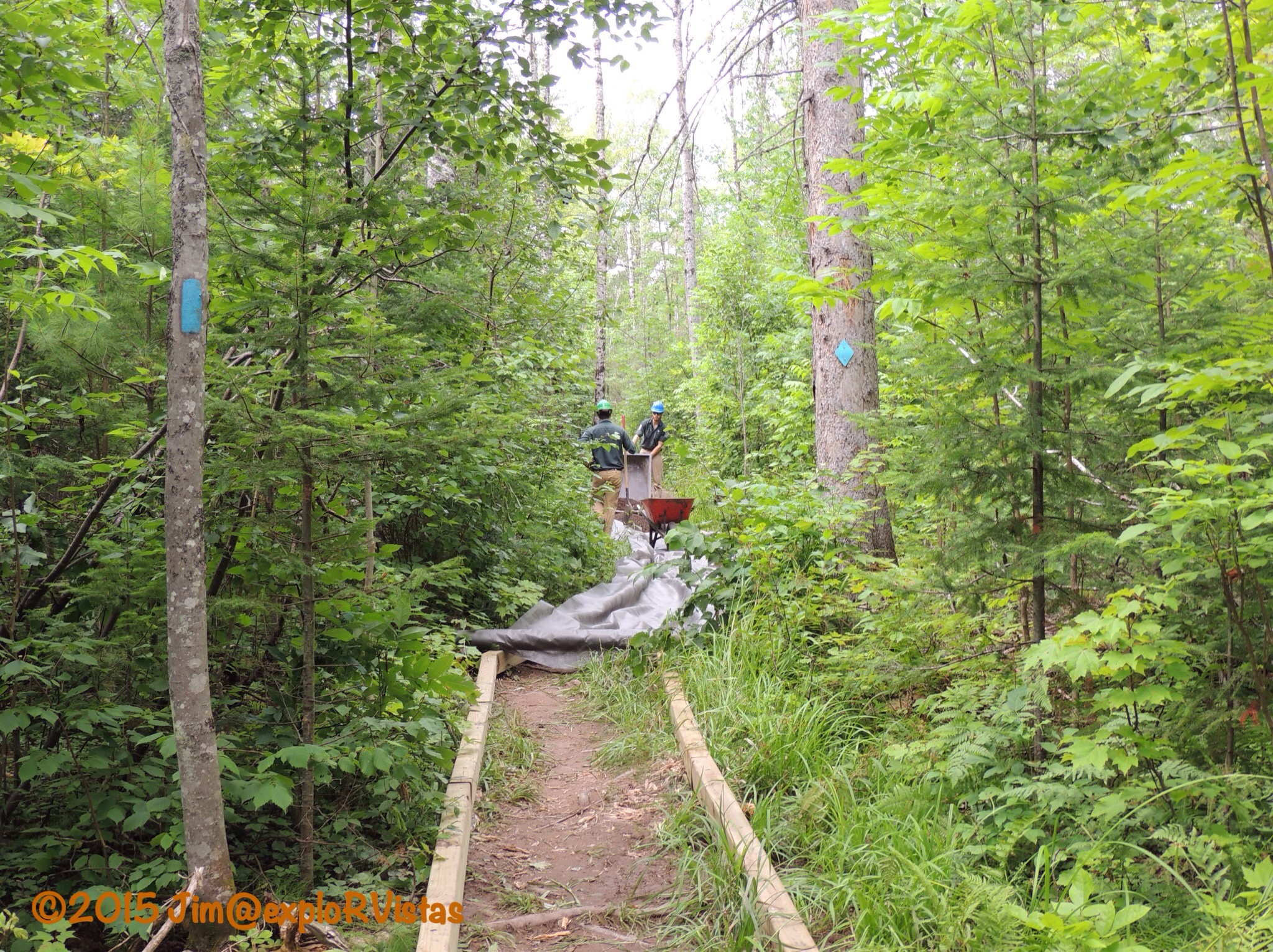
A little ways down the trail, we encountered the four college students who were spending their summer improving the path.  They were doing a fabulous job.   They had only been there three days, and they were making good time!  It is interesting to see how a trail like this is constructed.


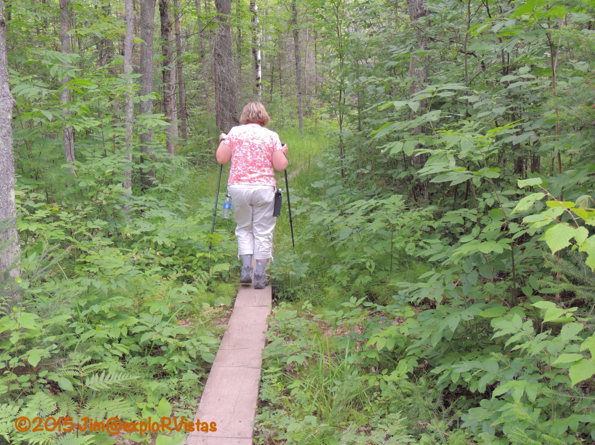
The trail ahead revealed why they were working to improve it. We were glad that we chose to use our trekking poles. With the path being designated as part of the North Country Trail, the traffic is increasing on it.

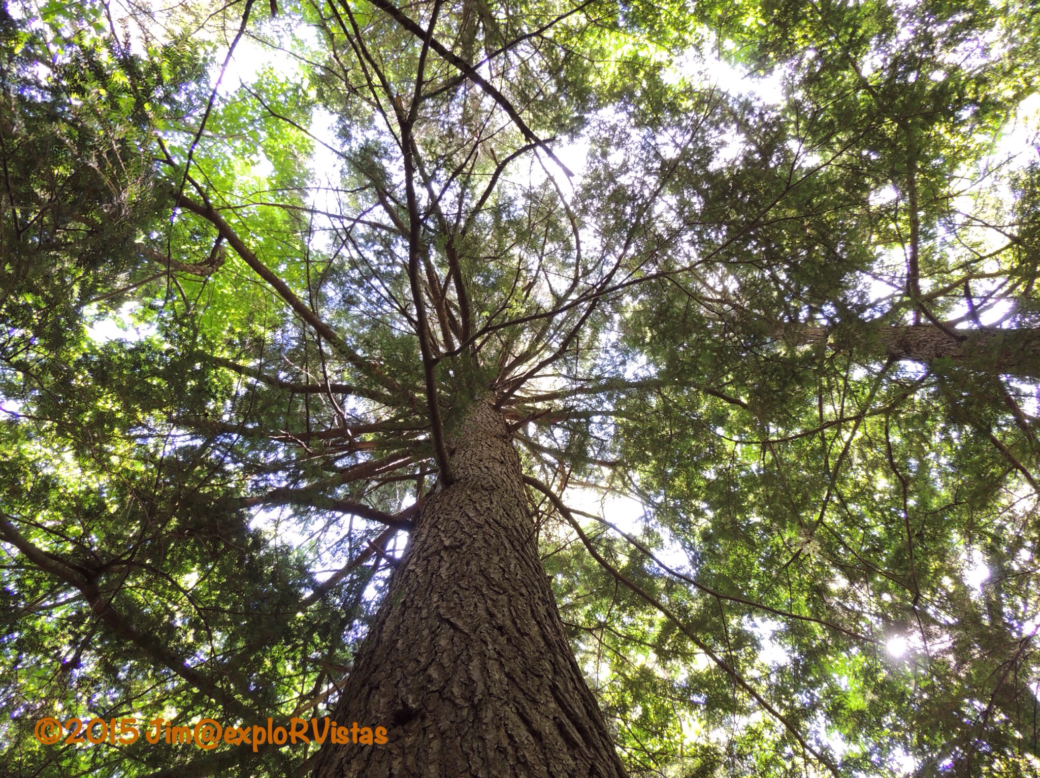
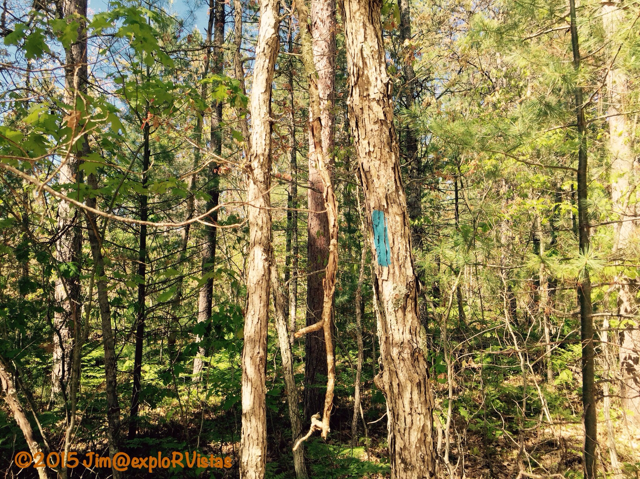
  Even still, there were spots that the ferns were covering the planks. It definitely made the hike more of an adventure!  It was about this point that something got between my right hand and my trekking pole and stung the base of my right thumb.  It REALLY hurt, but I wanted to keep going.  This trail was way too cool to stop!
  
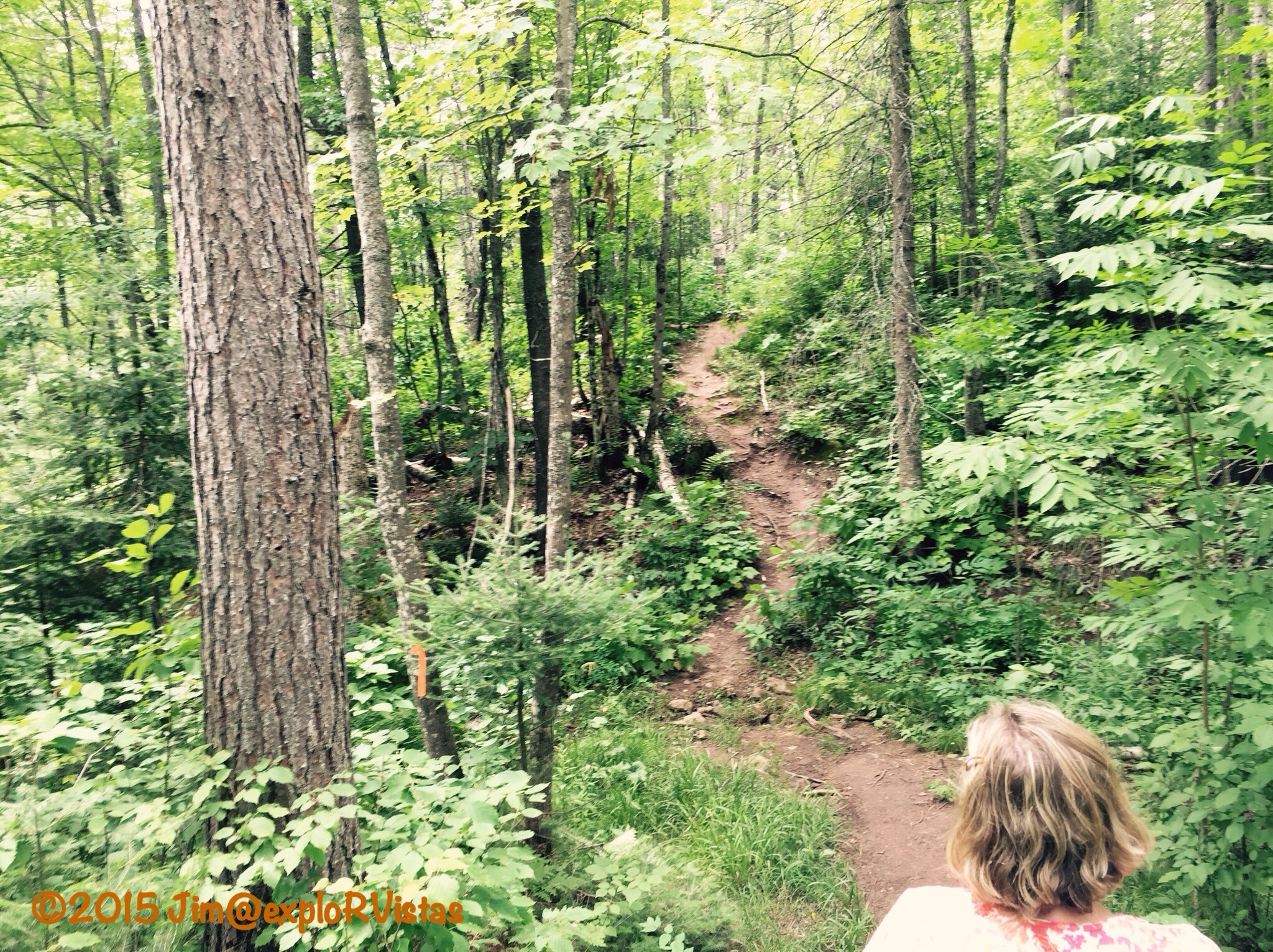
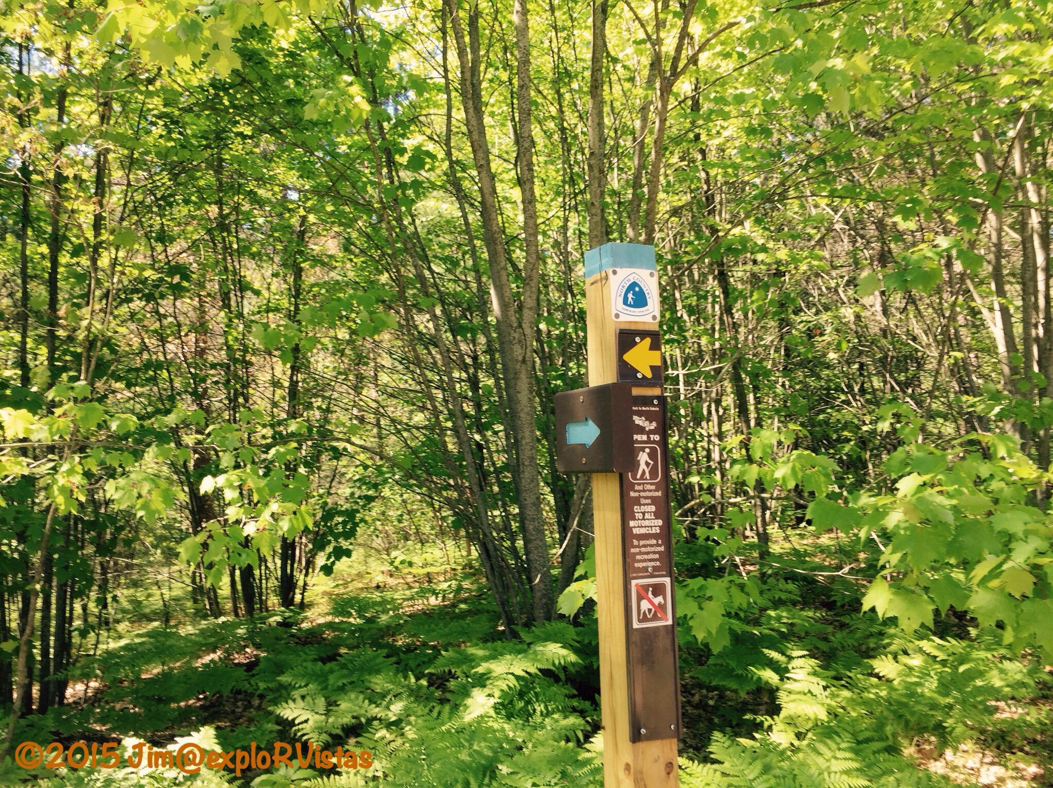
Further along, the planks gave way to roots and rocks.  There was a clay base, and the mud had caused people to take alternate routes, causing damage to the surrounding vegetation.  The improved trail will really have a positive impact on this heavily travelled section.

  
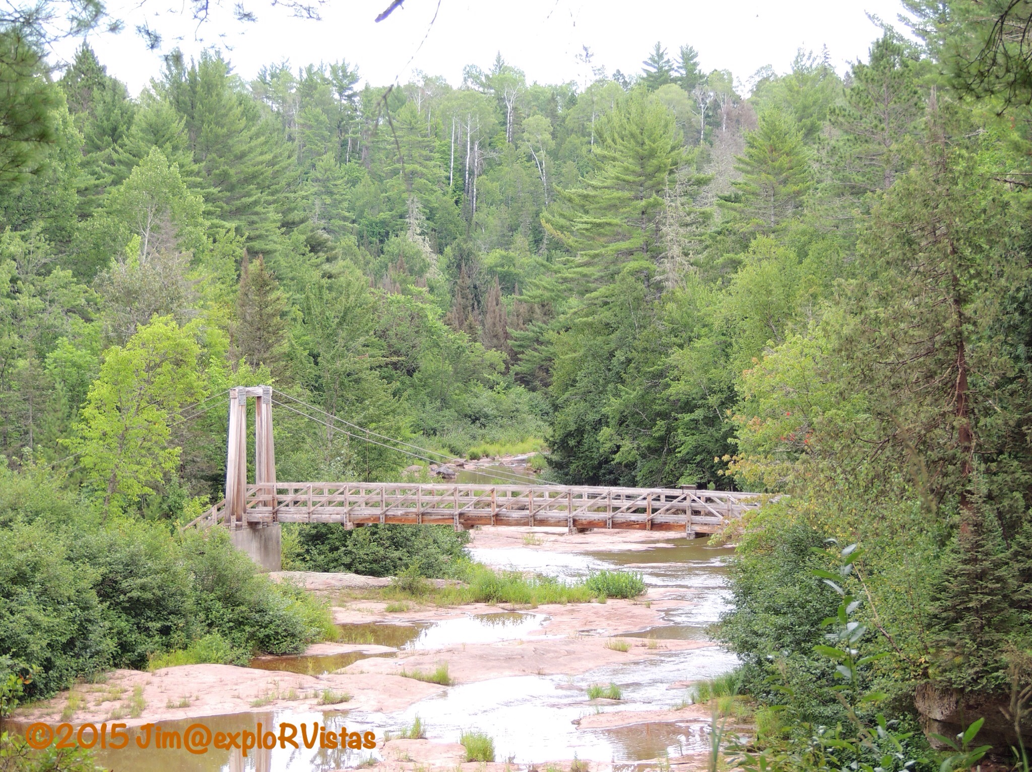
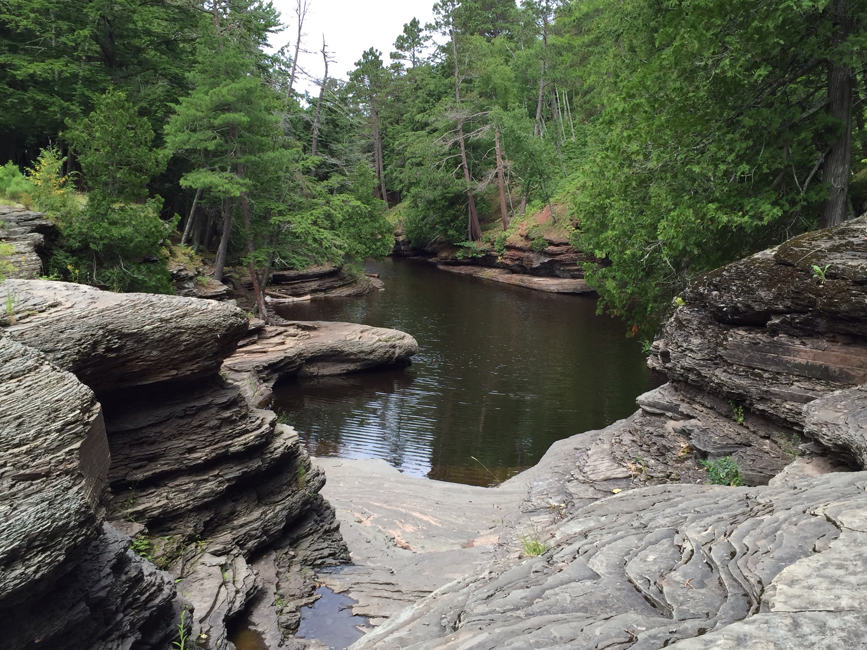
When we came to the side of the falls, we could see ahead to the Baltimore River Bridge.  The span is a pedestrian only path, and is part of the North Country Trail.

  
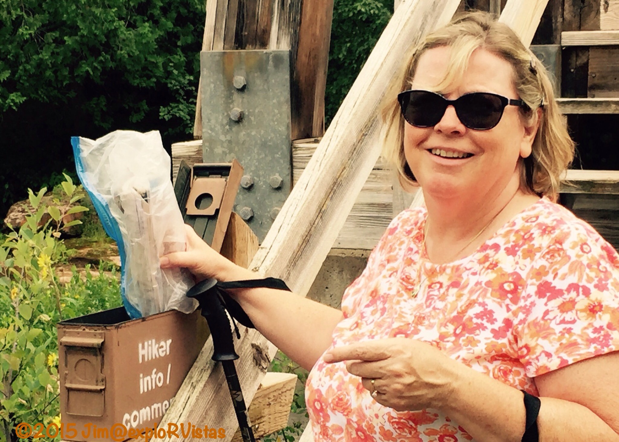
On the side of the bridge is an army surplus ammo box that contains a log book.  If you hike to this point, look for our August 6, 2015 entry!

  
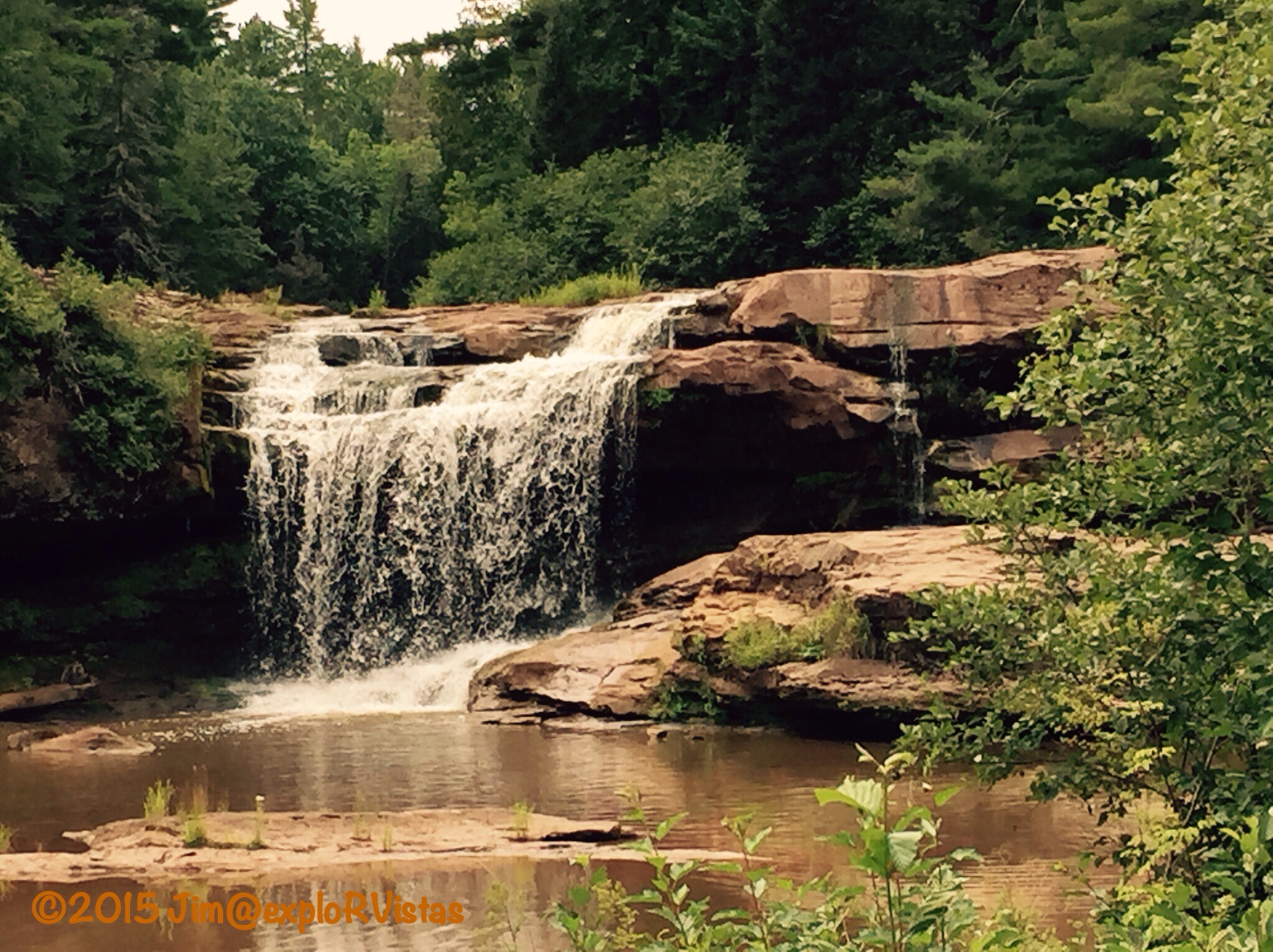
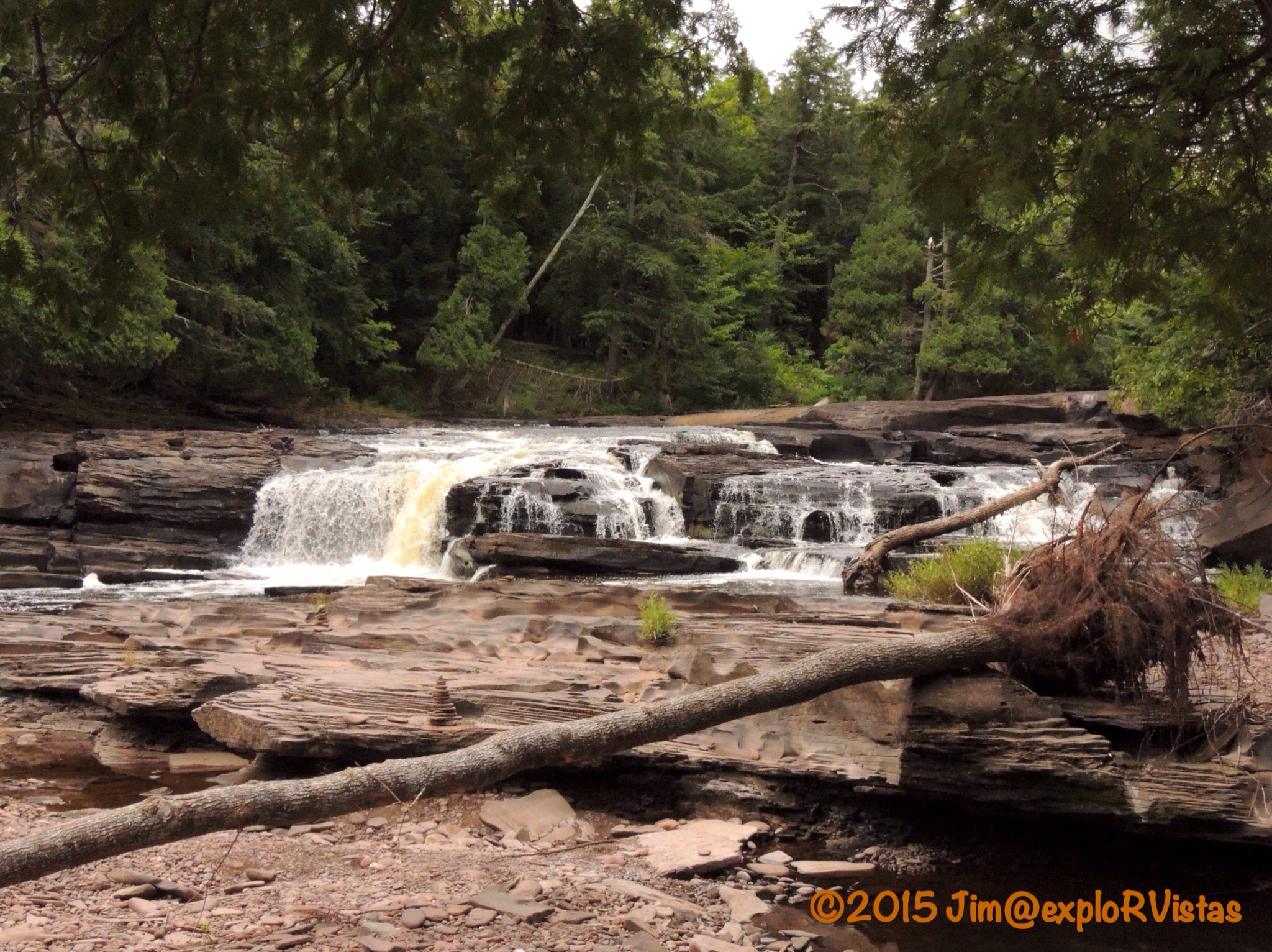
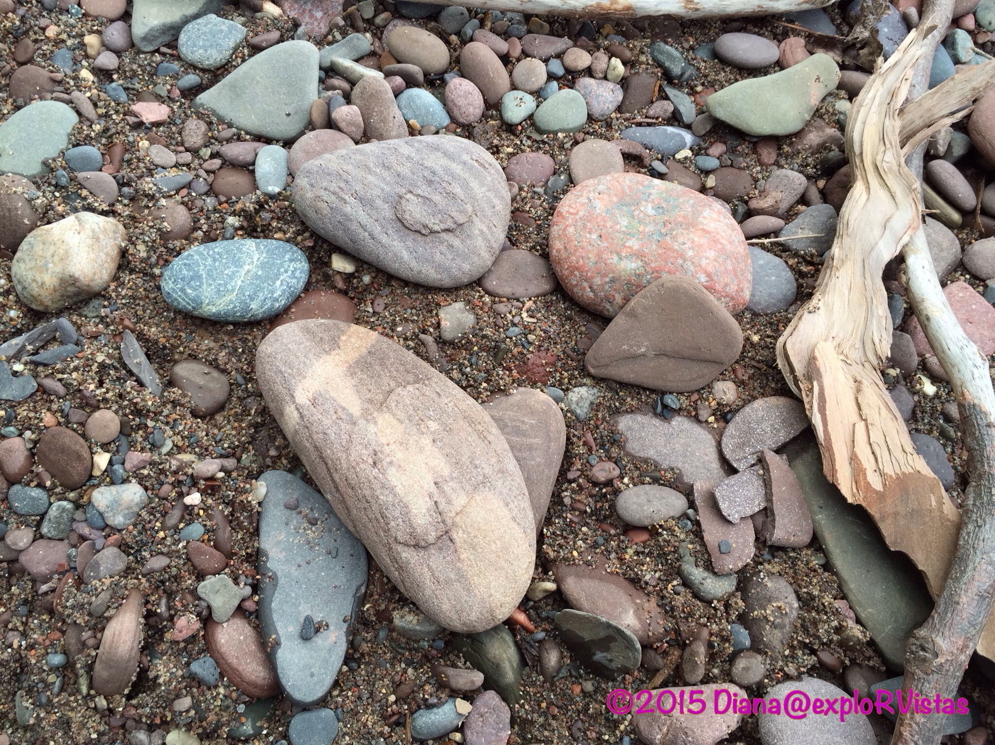
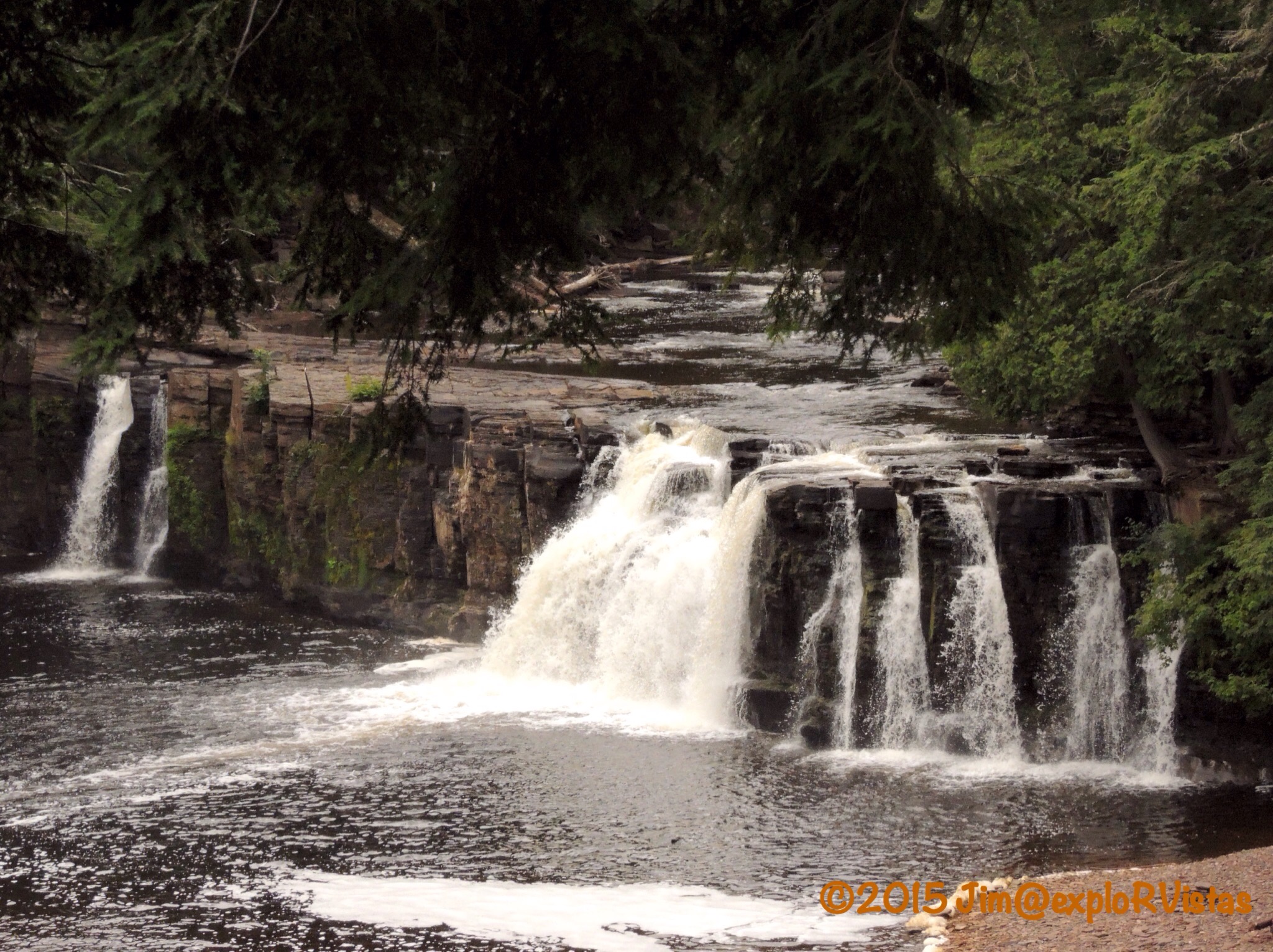
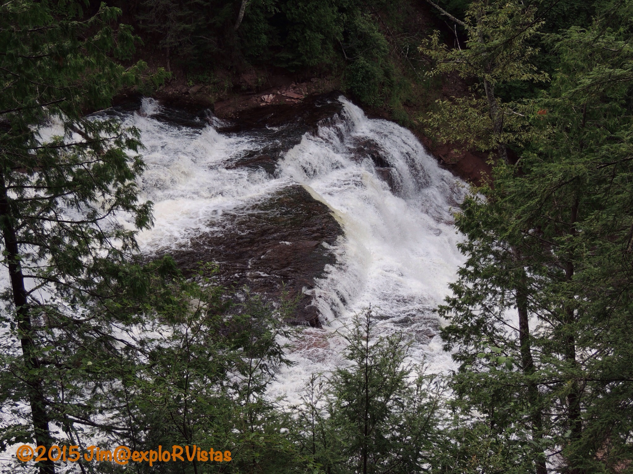
Looking back from the base of the bridge, O-kun-de-kun Falls can be fully appreciated.  The waterfalls are named for an Ojibway chief.  The daring can brave the slippery rocks and venture behind the cascade.  The clay riverbed that gives some of the area’s rivers a chocolate milk appearance can be seen here.  O-kun-de-kun is one of the wilder falls in the U.P., and was well worth the effort to get there.

When we completed the hike, we drove to Bond Falls, a Michigan State Park.

  
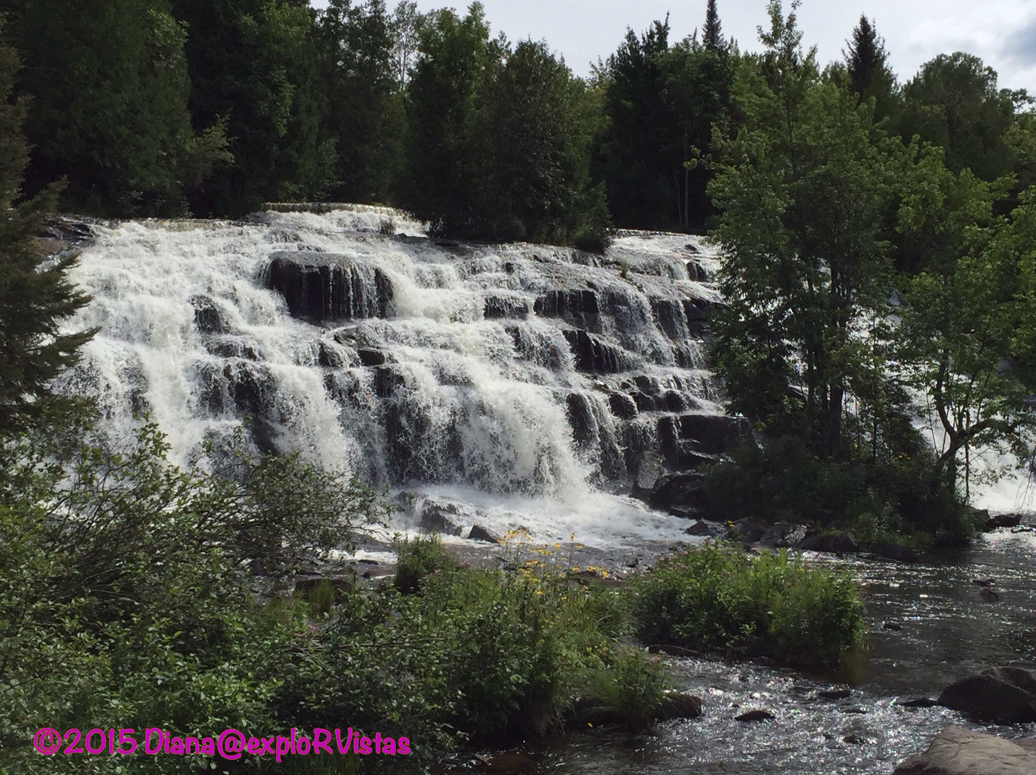
Bond Falls is incredible!  It’s part of the Ontonagon River, and the trail below the falls is handicap accessible.  We were impressed at the amount of water cascading across this rocky face.

  
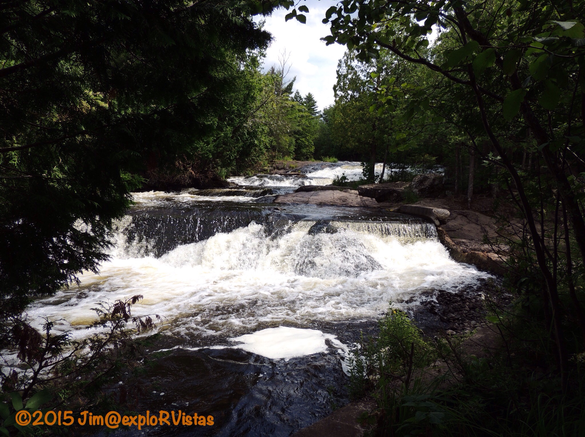
We climbed the stairs along the side of the river, only to find more falls!

  
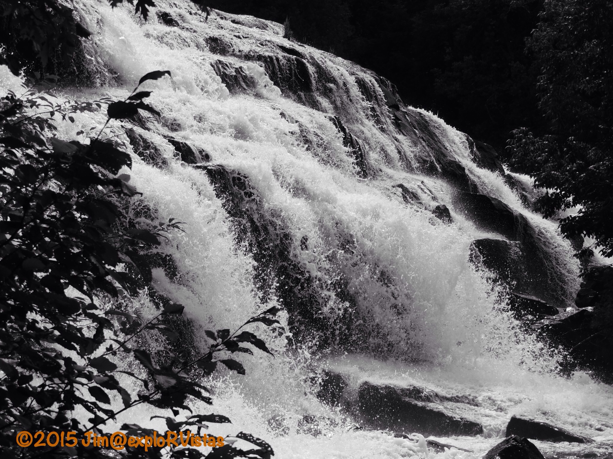
They even look pretty in black and white!

  
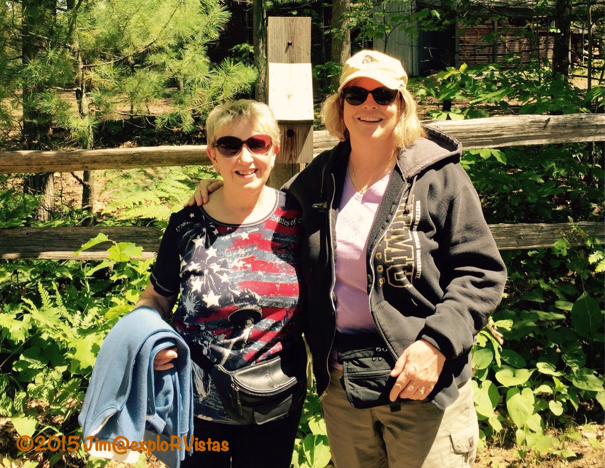
Looks like a good spot for a 33rd anniversary ‘couple-ie’.  🙂

Before heading back to Ontonagon, we stopped at Agate Falls.

  
The easy trail to this set of falls descends from a roadside park.  Actual river access is more difficult.

  
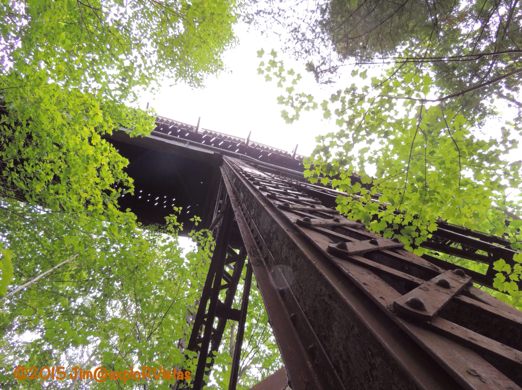
High above the falls, an old train trestle crosses the river.  It is amazing the work that went into this old structure.

All in all, we ended up hiking to 3 falls for our 33rd anniversary!  It was a perfect way to spend our day together.  🙂

Presque Isle River

When the word ‘pothole’ is mentioned, the thought of a crater in a late winter road comes to mind.  At the western end of the Porcupine Mountains Wilderness State Park, there is a very different kind of pothole to be explored.

Tuesday morning, we headed to the Presque Isle River.  The name is of French origin, meaning “almost an island”, and refers to the peninsula/island at the mouth of the river. On the way to our destination for the day, we were treated to a very healthy black bear bounding across South Boundary Road in front of us.  The Porkies have a large population of black bears, which are seldom seen by humans. Unfortunately, we didn’t get a picture, as the bear didn’t stick around to pose for the blog. 🙂


We arrived at the river a short time later. From the parking area, the North Country Trail heads towards the river.  The river runs through a mixed old growth forest, which leaves the forest floor fairly wide open.


And some of the trees are huge!  This giant is an Eastern Hemlock.


The riverbed is comprised primarily of sedimentary rock, referred to as Nonesuch Shale.  The uplift of the shale has created numerous waterfalls along the way.  The water itself is stained with tannins from decaying vegetation upstream, giving it a tea coloring and creating foam in the eddies below the falls.


And there are those potholes we were talking about!


They are created as the water swirls smaller rocks in a low point in the riverbed, resulting in a circular hole.  It is amazing how razor sharp and perfect the edges are!


The river continues it’s march toward Lake Superior.  Boardwalk and stairs follow the western shore, making access for visitors fairly easy.


Near the mouth of the river, a suspension bridge crosses the active channel to the ‘presque’ isle.  This bridge is actually part of the North Country Trail.


On the far side of the island, the trail crosses the dry riverbed.  In the springtime, the flow of the river is high enough to cover this portion of the riverbed.


Below that point, the river water is ponded until the next spring.


A young girl pointed out this turtle in one of the small pools.  It appears to be a baby snapping turtle. There were also tadpoles swimming around.


Where the pool meets Lake Superior, there is a sandbar between the east riverbank and the presque isle. In the springtime, that bar is breached, thereby creating a true island.  The sandbar is a great place for rock hunting.


I kept handing rocks to Diana, saying “Look at this one!”  She finally set them all down and took a picture of them. 🙂 


There were also several varieties of wildflowers to be found along the riverbank.  Here are a bunch of Common Tansy.


The Presque Isle River is definitely a great place to spend an afternoon!  Just remember one thing…

  
Watch out for the potholes!  🙂


Fife Lake / North Country Trail


On Saturday, we drove southeast about 45 minutes to the village of Fife Lake.  This is a town we have a long history with, as stated in an earlier post.  The Grand Traverse Hiking Club chapter of the North Country Trail Association was celebrating the designation of the village as a ‘Trail Town’.  They were also dedicating the completion of the 21 mile Fife Lake Loop on the 4,600 mile long North Country Trail (NCT), along with a one mile spur trail that connects the NCT to the village. The celebration included a 2.7 mile hike.  We were shuttled out of town and we hiked back in.

  
There were around 40 people on the hike.  The weather was perfect: dry, clear and in the low 70’s.

  
The point that we started from was about 1/2 mile from where Diana’s parent’s cottage was.  We used to cross country ski on this portion of the trail when it was just a local pathway through the woods, so it was exciting for us to see it being administered by the National Park Service now.  More than half of the North Country Trail is complete (2700 miles); an amazing accomplishment, seeing it was just established in 1980.

  
The trail is well marked with blue blazes on the trees.

  
There are also signposts all along the trail, so it is fairly easy to follow.

  
The NCT skirts through Spring Lake State Forest Campground.  Spring Lake is a little body of water that connects by a small channel to Fife Lake.  It is very peaceful in the campground, even though it is fairly close to US-131.

  
After we left the campground, we met Luke Jordan, a gentleman who has hiked the entire trail, even along the incomplete portions.  He is in the process of having his book about the experience published.

  
At one point, the trail crosses the Grand Rapids and Indiana Railroad.  These tracks are used maybe one or two times a week.  This is the route that Ernest Hemingway used to take on his trips north to Walloon Lake from Chicago.

  
We also traversed a newly completed bridge over a small creek.

  
When we were hiking on the spur back into town, we met Linda Forwerck.  She is the Fife Lake Township Supervisor.  We had a delightful conversation with her about all of the exciting things that are happening in the area.  Fife Lake was a logging center in the 1800’s, and at one time there were three sawmills on the lake.  Today, there are several businesses in town, all doing quite well.  The trail town status will bring even more business to the village.

  
Some are housed in century-old buildings.  Diana’s dad used this hardware store often.

  
The hike ended up at Fife Lakeside Park.  The North Country Trail Association had tents set up, handing out information about the trail and volunteering opportunities.  They also had food and soft drinks, along with a trio playing contemporary music.

  The park has a small beach, and is located next to the state boat launch.  Fife Lake is best described as one mile in diameter, and is fairly close to symmetrical.  There are two small islands in the southwestern portion of the lake.  This photo looks towards those islands, and the cottage Diana’s parents owned is just to the left of the islands and just to the right of the tree in the foreground.
  
The Grand Traverse Hiking Club had their trailer at the event.

  
Inside was just about anything they would need to construct a trail.  They are obviously well organized!

While we were at the park, we heard a commotion by the tracks.  We went over to investigate.

  
We saw these little restored railroad service cars coming down the tracks.  After a little investigation, we found out that they are part of an organization called the North American Railcar Operators Association.  They are all privately owned, and they take tours on local railroads.  This particular event had 40 cars and went on a round trip from Traverse City, through Petoskey and Cadillac.  It cost each car a little over $500, and that included two night’s lodging.  We’ve never seen anything like it.  Their air horns were particularly amusing!

  
After the event, we took the Escape out on the two-track seasonal roads south of town. We were curious to see some of the outlying portions of the trail.  

  
This is Headquarters Lake, which is a large wetland.  It is fed by Fife Lake Creek, which is the outlet from Fife Lake.  The water finds its way from Headquarters Lake into the Manistee River, then into Lake Michigan and eventually the Atlantic Ocean. The NCT runs alongside the creek and Headquarters Lake.


We used to snowmobile and ski along these two-tracks. It was a lot easier to find our way this time, as we had Google Maps to guide us!
  
At the southern end of the loop trail, we came to the Old US-131 State Forest Campground.  It is located on the Manistee River.  Part of our reason for checking it out was to find a kayak take-out point on the Manistee. The canoe launch looked like it might be difficult to use to disembark.

  
We did find this trail sign though.  Looks like an easy 2400 miles to go to get to the eastern terminus of the trail in New York!  Eventually, they will link it to the Appalachian Trail in Vermont.

After leaving the campground, we headed down to the rest area on the new portion of US-131.  There is a boat launch at the south end of the rest area, and it has a nice concrete ramp. We decided that this would be an ideal place to use as a kayak take-out. Plenty of parking to stage a vehicle also.  We talked to the owner of Missaukee Paddlesports at the ramp, as she was waiting for a group of paddlers to come in.  She tipped us off to a put-in a little ways up the river. Looks like a paddle day is in our future.

  
On our way out of the rest area to go check out the put-in, we noticed this sign for the NCT.  Looks like an easy 2200 miles to the western terminus of the trail in North Dakota.  There it links up to the Lewis and Clark Trail.

All in all, it was a tremendous day to get out in the woods.  What made it better was the fact that we were familiar with these pathways, and to see them being celebrated as a national treasure just made it that much sweeter.

Do you have a favorite trail that you would like to share?  We would love to hear about it!