Tag Archives: Fort Pulaski

Buttoning Up the Cabin and Heading South

Leelanau County, MI to Melbourne Beach, FL – November 9, 2021Written by Jim

Our last few weeks in Michigan were exceptionally busy, as we not only were finishing up our 2021 projects on the cabin, but we also had to winterize the place. We were fortunate to have dry weather in the 60’s, but the nights grew steadily colder. We had no intention of repeating our winter of 2014/2015 in our RV in Michigan. See our ‘Cold Weather RVing’ tab above for more on that adventure. Time to pack up and roll south!

We had three major things to complete before the end of this year on the construction project. First was more for our peace of mind than anything; we wanted to finish assembling and installing the kitchen cabinets.

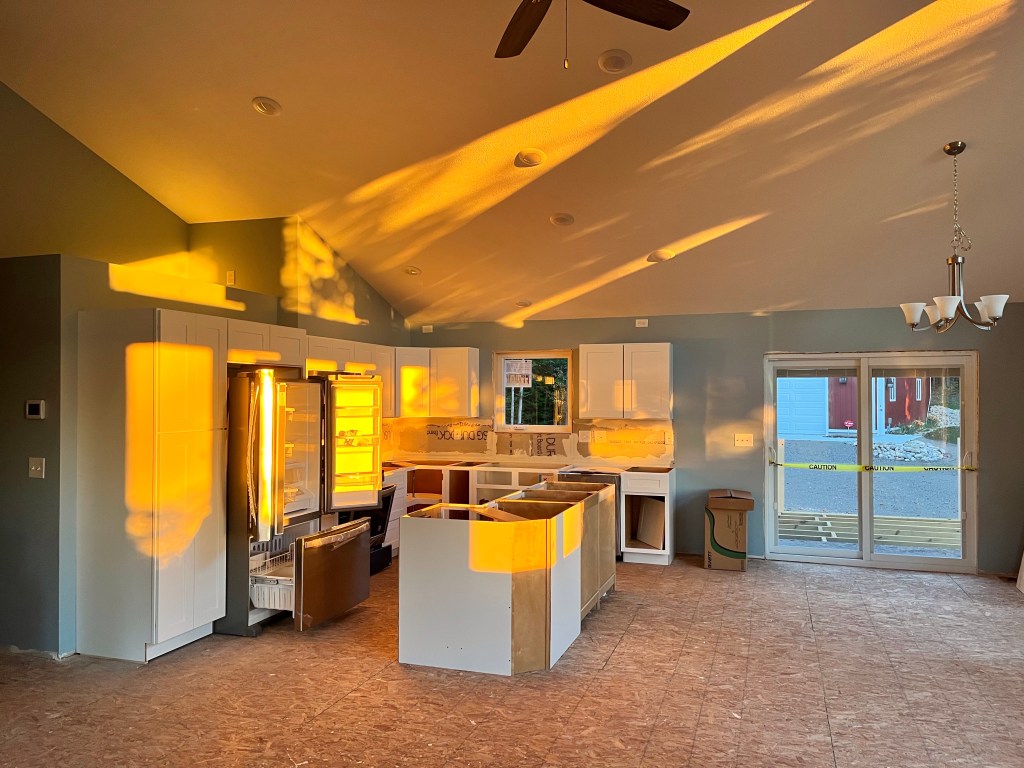
All of the upper cabinets are done, as is the pantry cabinet on the left. The base cabinets are assembled and in place; they just need doors, a rear wall on the island, and countertops. All of that gold you see in the photo is the morning sun streaming through the windows. There’s a lot of solar gain right there!

The second project we needed to get done was to finish encapsulating the crawl space. You may recall the dirt floor we have down there:

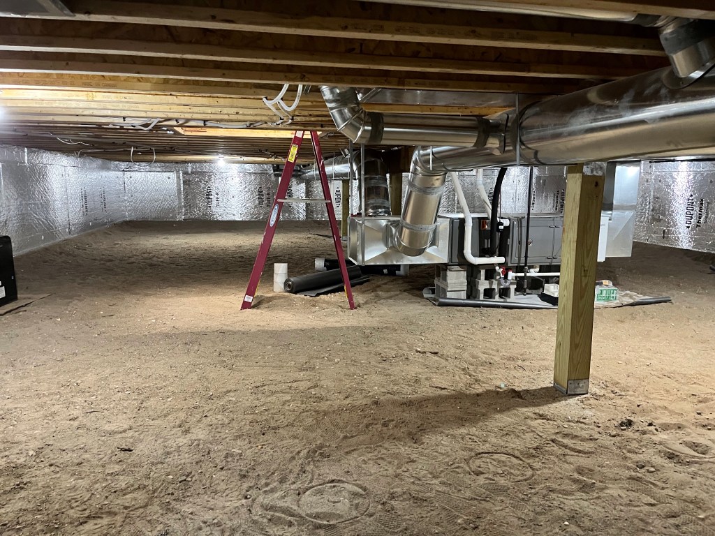
We had been running a dehumidifier constantly and the lowest we could get the humidity level was to 65%. Since total encapsulation is required by the building code, we figured we would be better off to get the 12-mil thick floor liner laid down before we left.

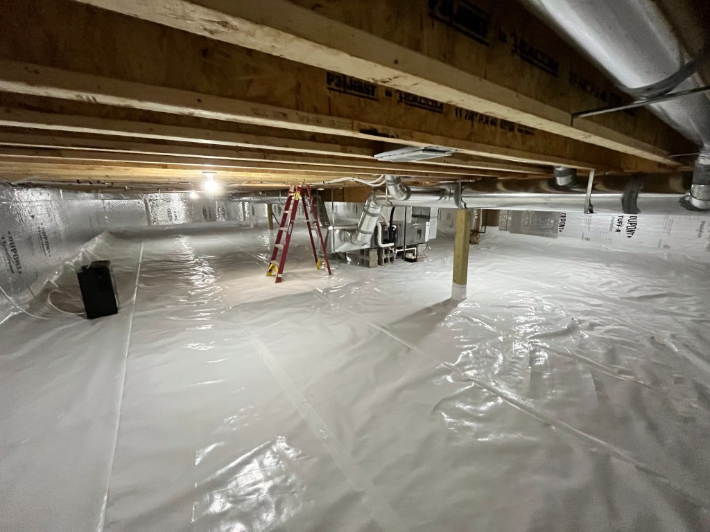
What a difference that made. Not only is it bright and clean, but the humidity level dropped to 42%. There is no need to run the dehumidifier anymore.

The last project was actually our last subcontracted job: the gutters.

Michigan Gutter out of Traverse City did the work for us. They were in and out within a few hours. When I commented on the one piece 54 foot length of the gutter on the far side of the house, the one installer told me that he held the company record for length: a one piece gutter that was a whopping 252 feet long! I’ll bet he had a lot of helpers that day. When the crew left, we were officially finished with subcontractors. Everything else from here on out will be completed by the two of us.

After blowing out the water lines and securing the place, we hooked up and headed south! We took a few weeks to get to Melbourne Beach, and managed a few highlights along the way.

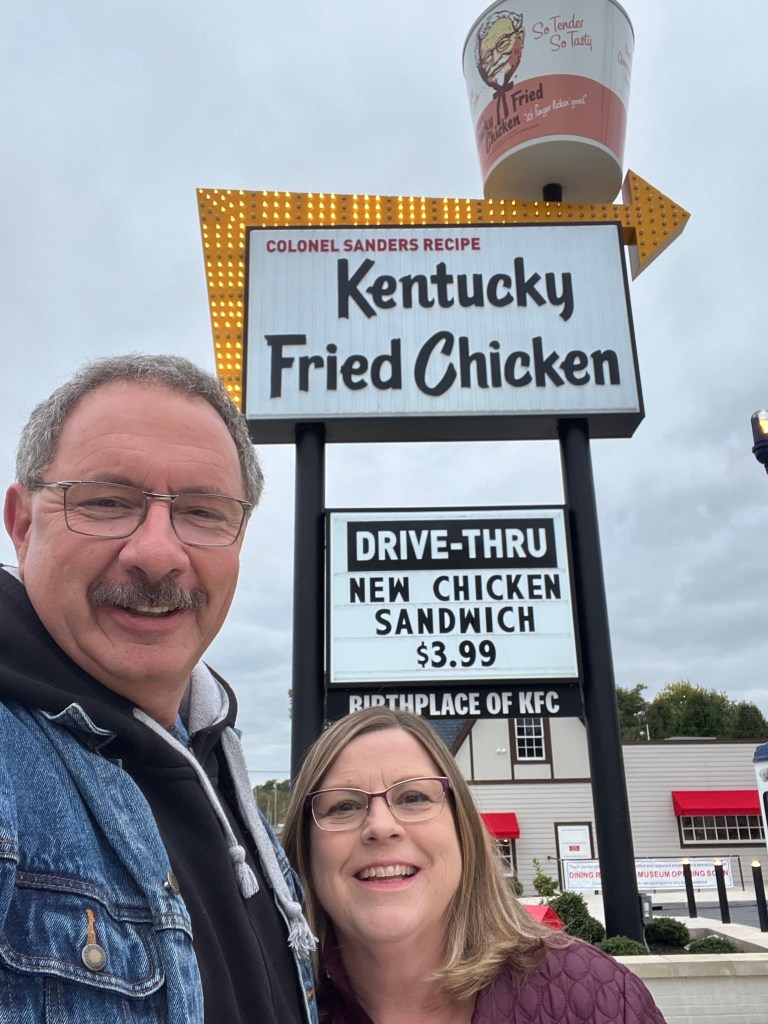
One of those was a stop at Col. Harland Sanders’ original Kentucky Fried Chicken restaurant in Corbin, Kentucky. KFC has recently done a total renovation of this location, making it a combination museum/working restaurant. It wasn’t open yet…except for the drive through, but we could see through the windows. They did a nice job.

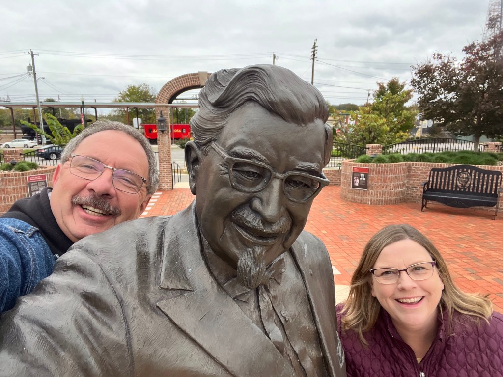
We even got to see the Colonel himself at Sanders Park in downtown Corbin. 🙂

Another interesting stop we made along the way was at Cumberland Gap National Historic Park. This is one of the few natural gaps in the Appalachian Mountains that has been used for thousand of years by animals and humans seeking passage east and west.

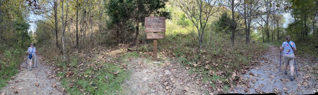
Here’s a panoramic of Diana coming up one side of the gap and going down the other side. There are two tunnels that pass below this area, an auto and a rail passage. Daniel Boone passed through the gap in the 1700’s and the area was heavily fortified during the Civil War. With the ruggedness of the terrain surrounding the trail, we were completely surprised at the fact that a US highway ran through here as recently as 1996. The US Highway Department and the National Park Service did a fantastic job of restoring and reforesting the trail!

The sign at the saddle of the gap reads: Salt seeking buffalo, Moccasin clad warriors, Dreaming Pioneer, Battling Civil War soldiers. Each was here in the Historic Cumberland Gap and now so are you. This is the Historic Cumberland Gap. Across from the sign is an offshoot trail that heads up to Tri-State Peak. We followed that trail to a small gazebo that covers a US Geological Survey marker.

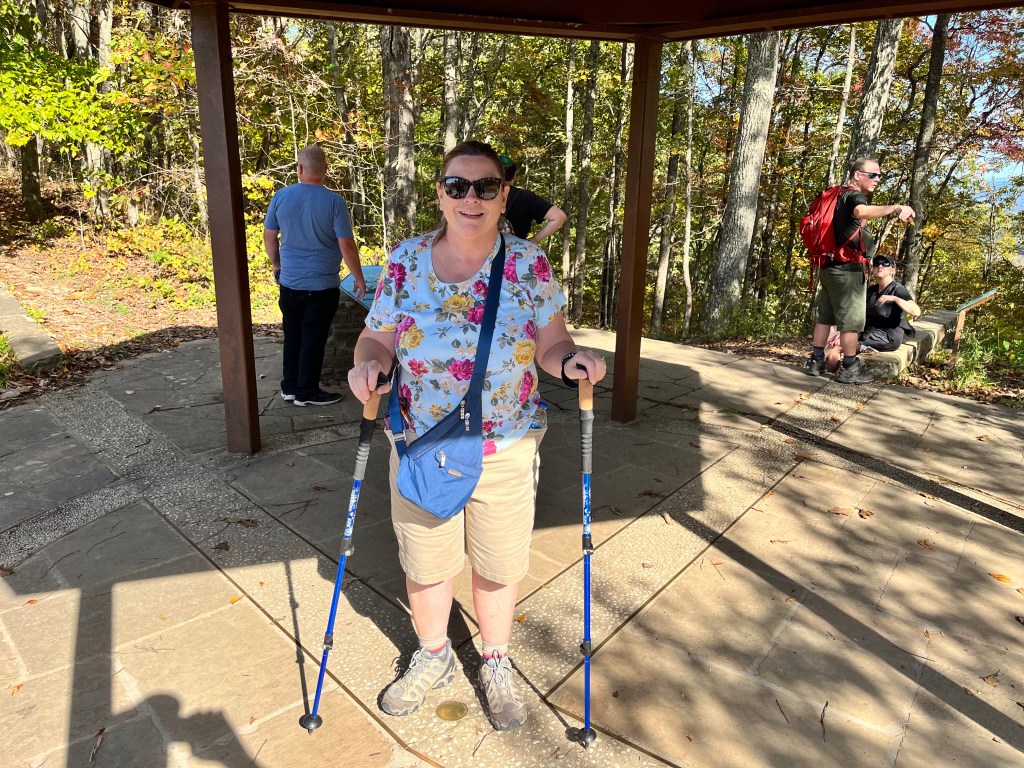
Here’s Diana with her feet in three states simultaneously: Kentucky on the left, Tennessee on the right and Virginia behind her. Surprisingly, there are 62 places in the US where three (and only three) states meet. Of those, 35 are on dry land and 27 are in water.

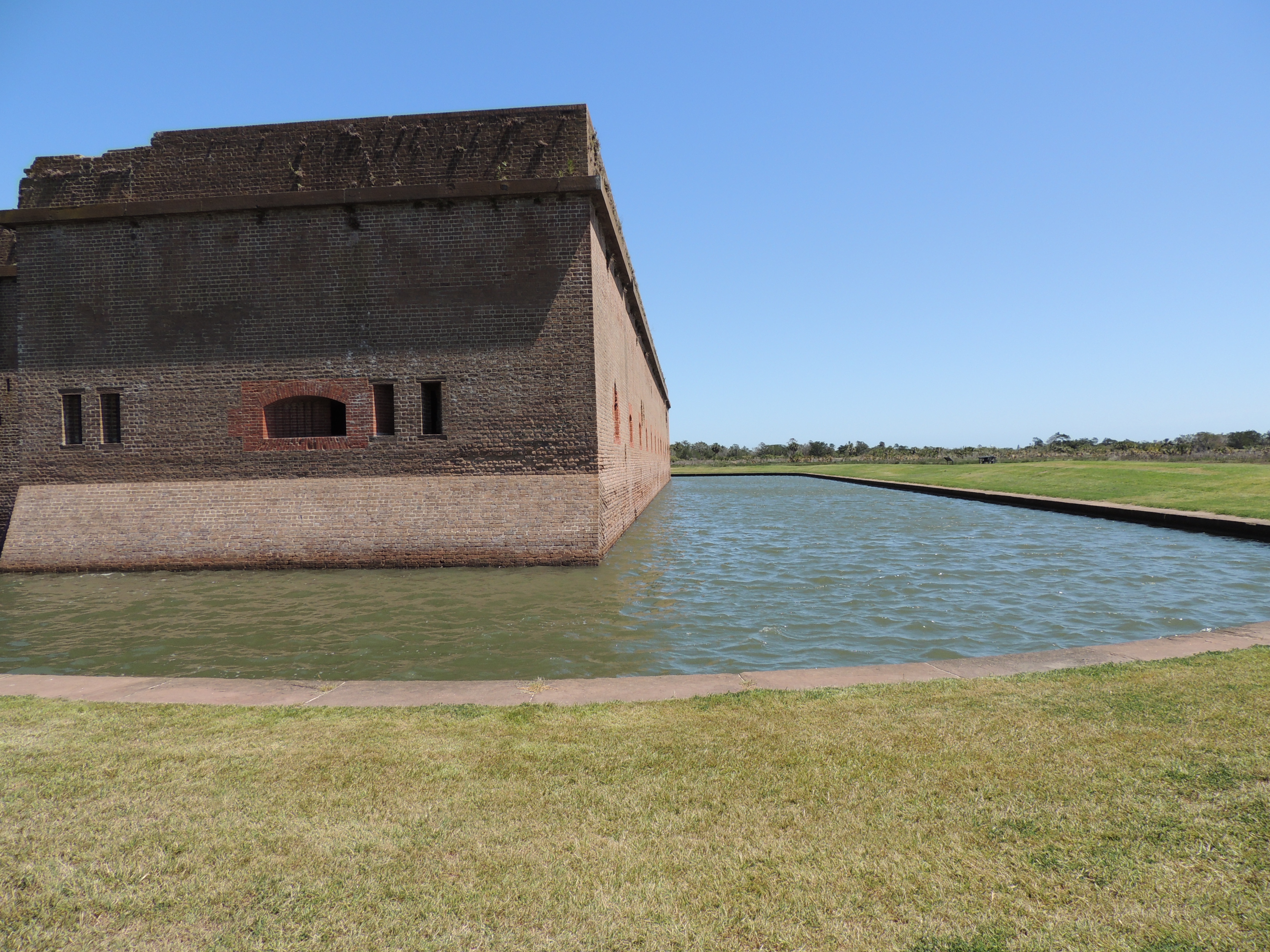
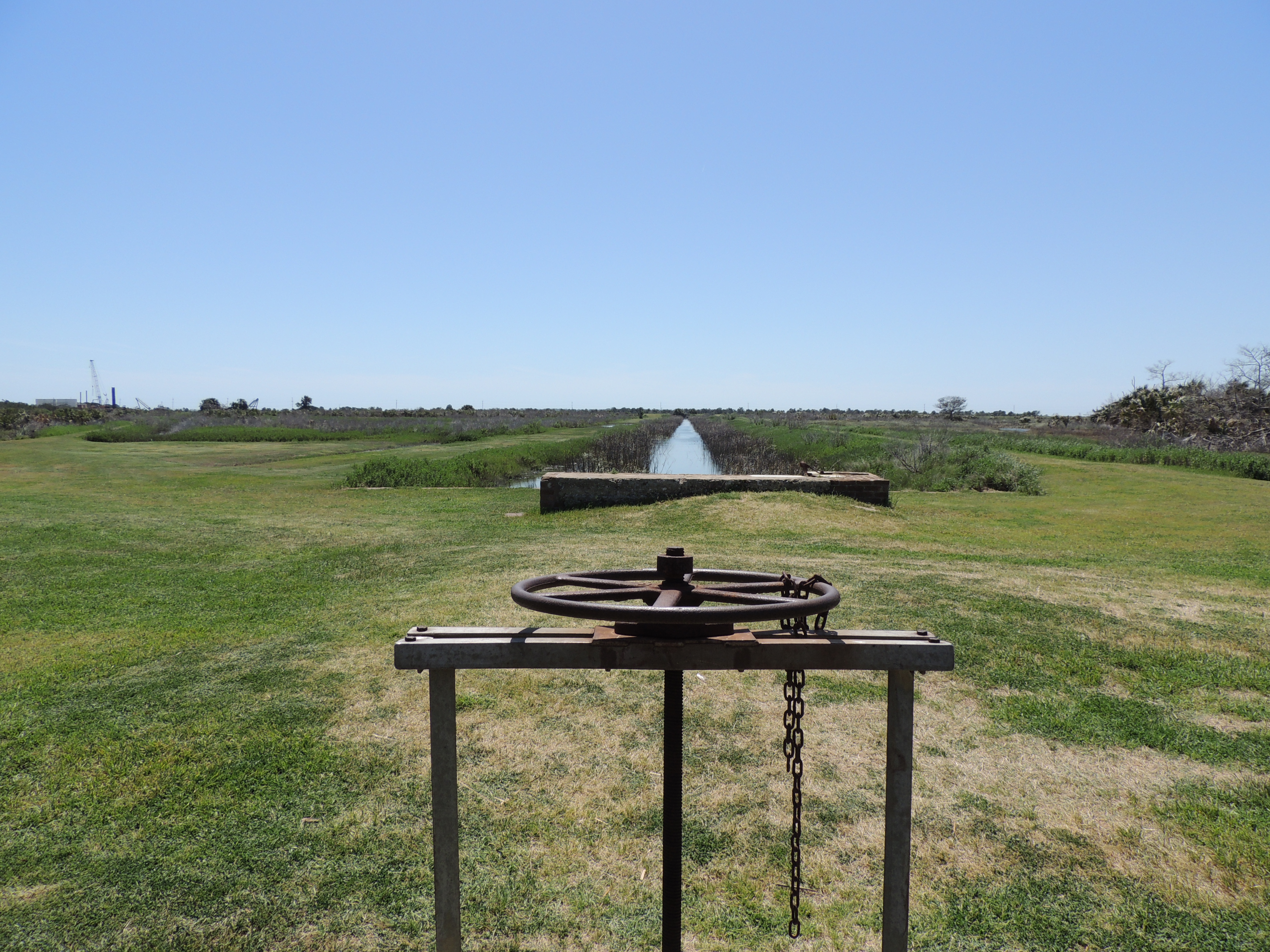
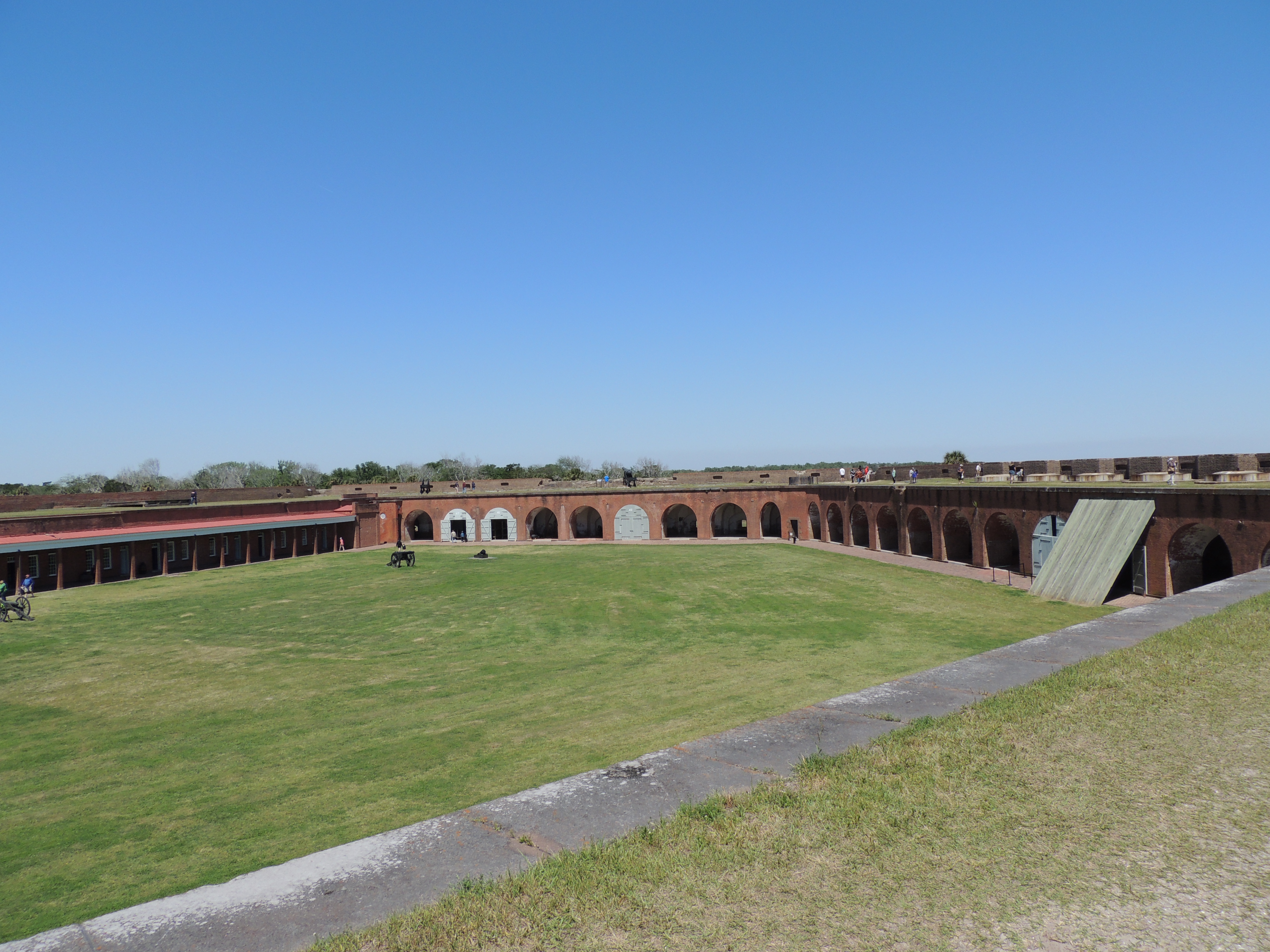
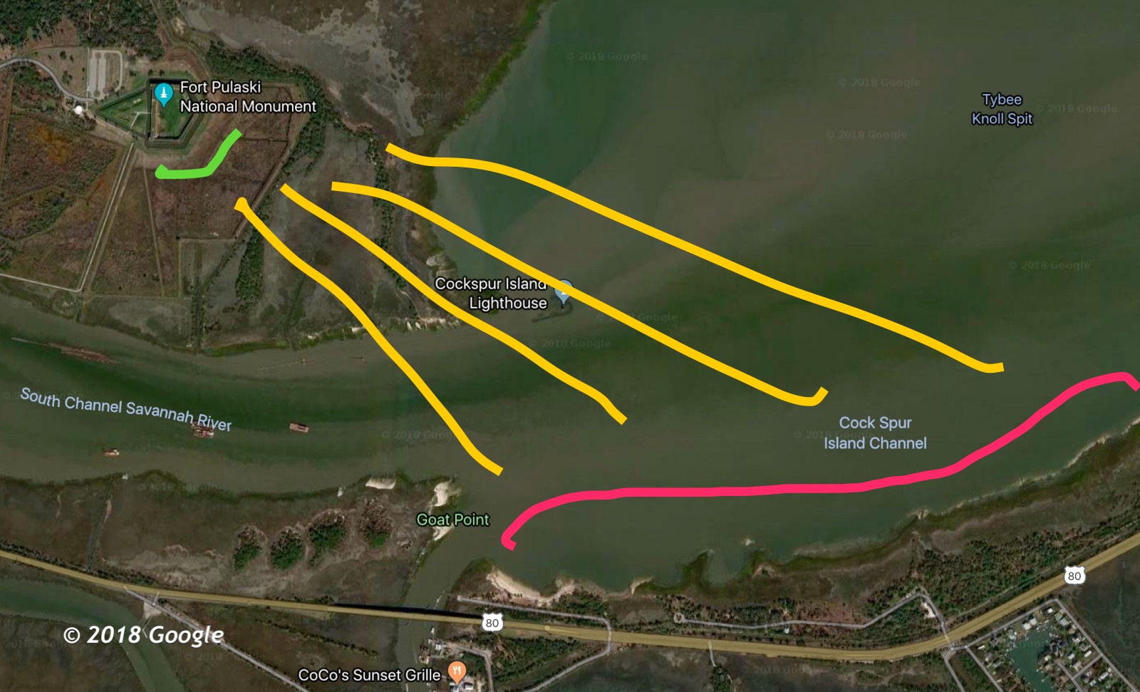
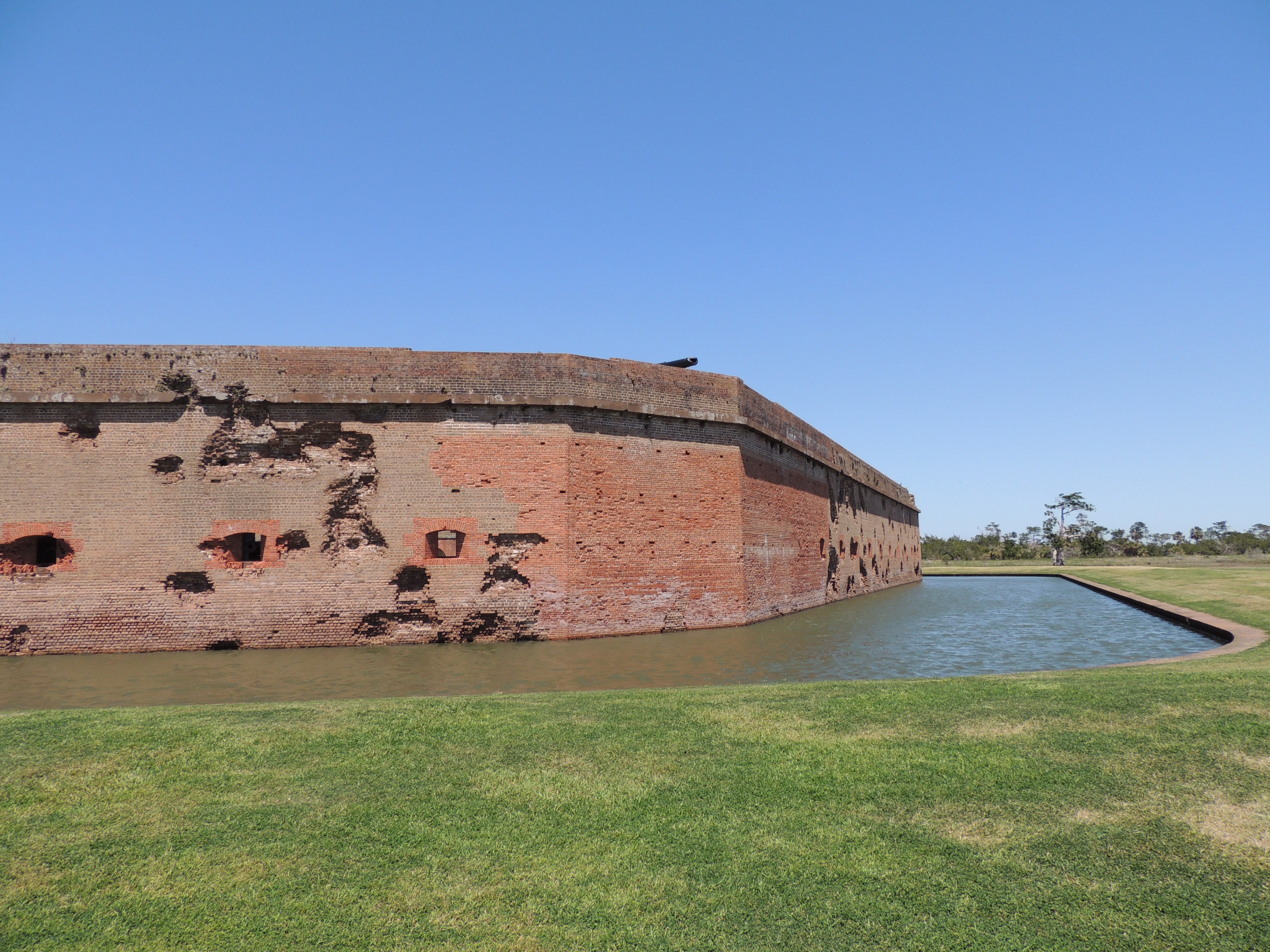
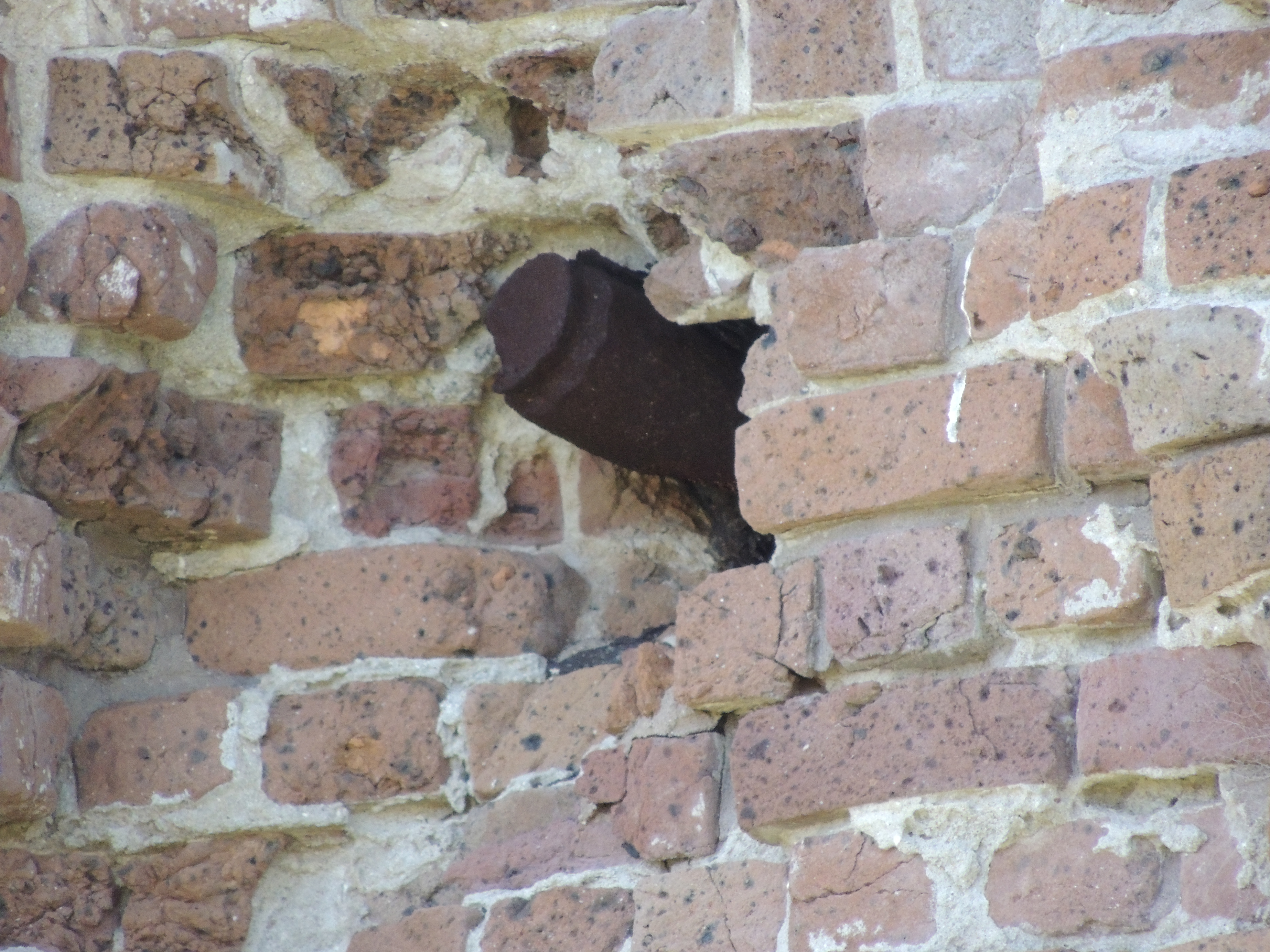
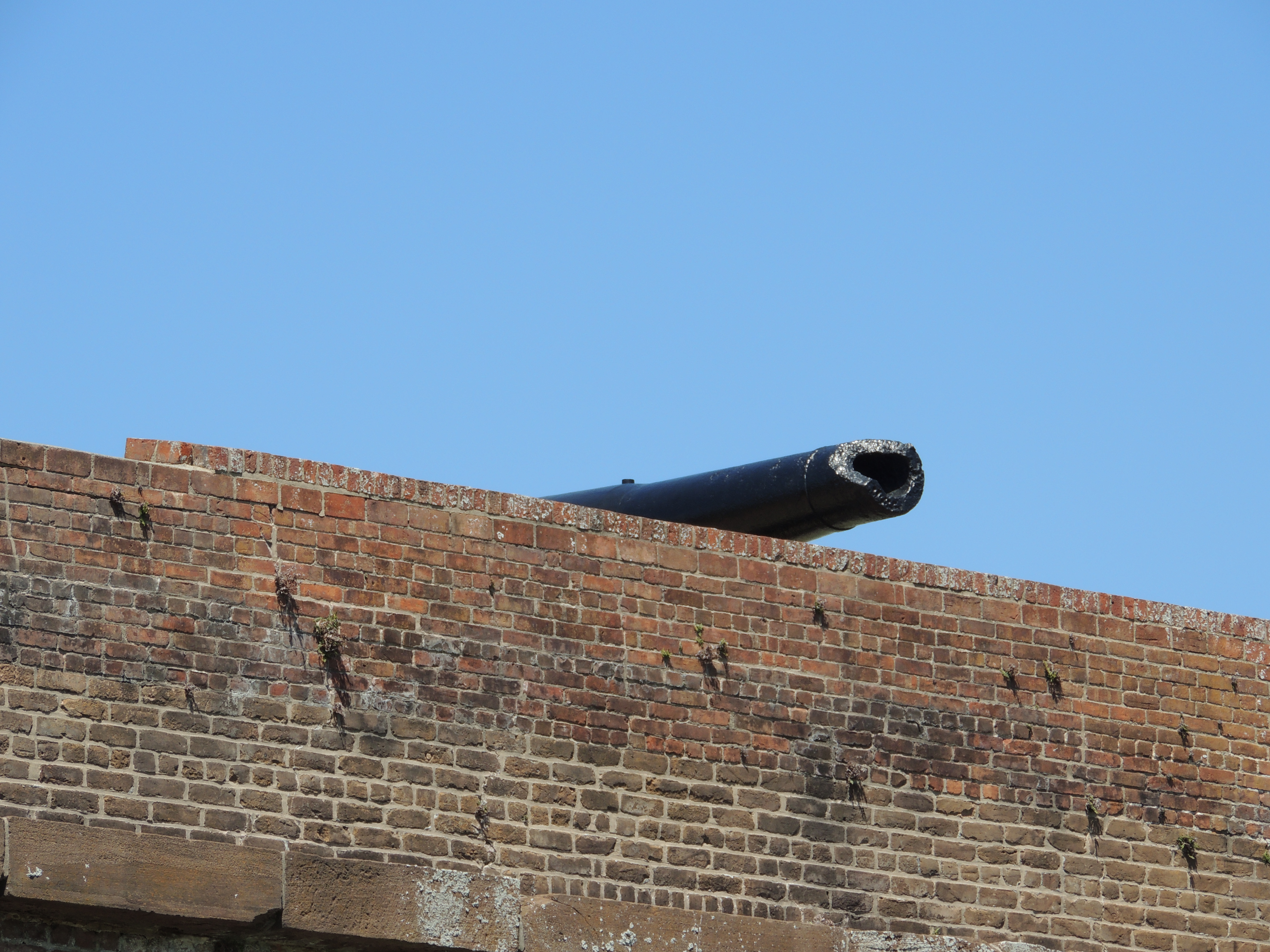
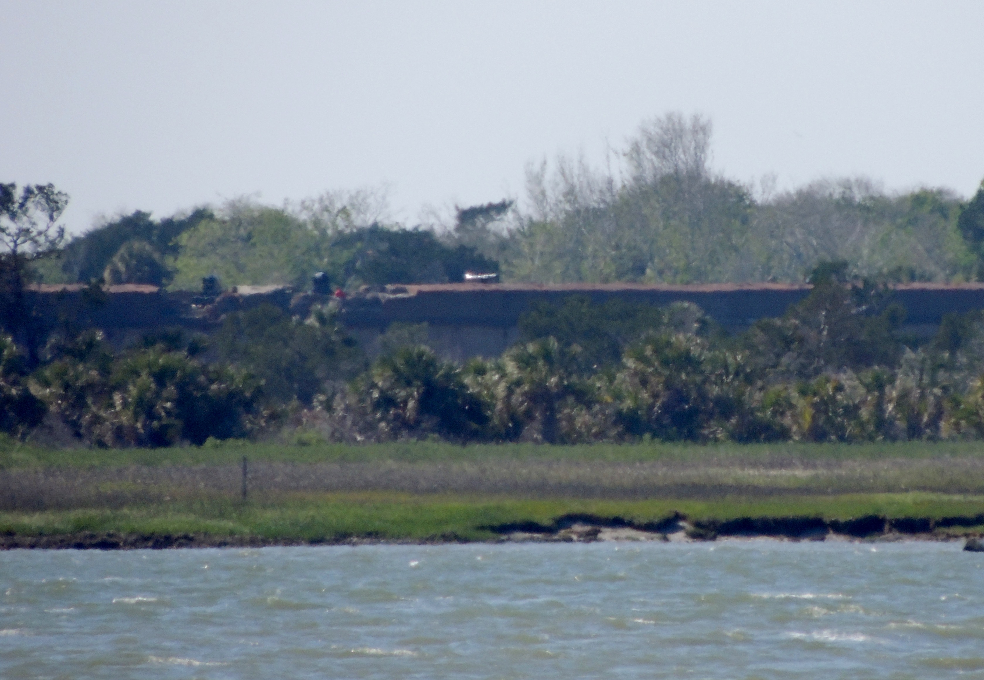
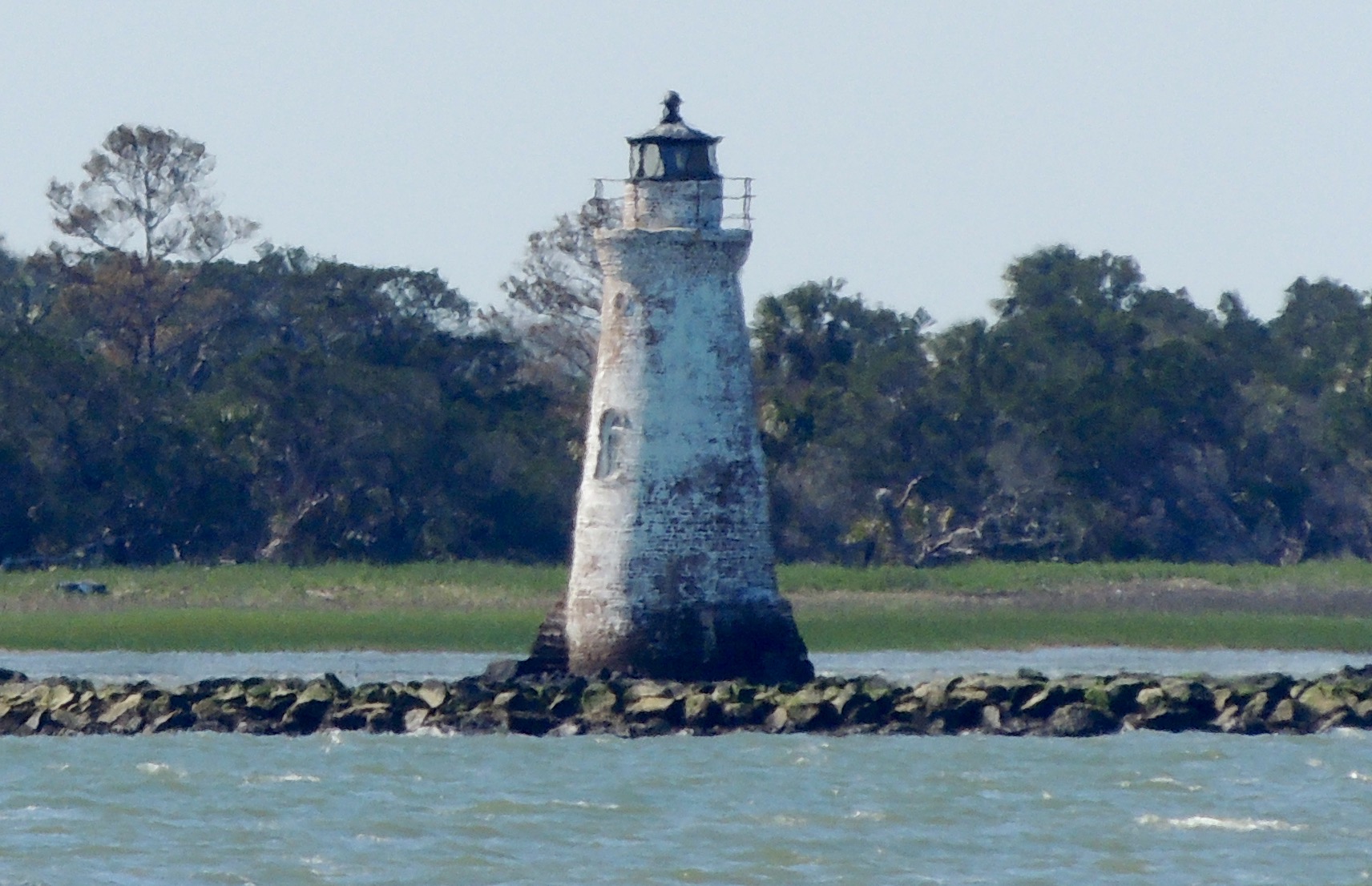
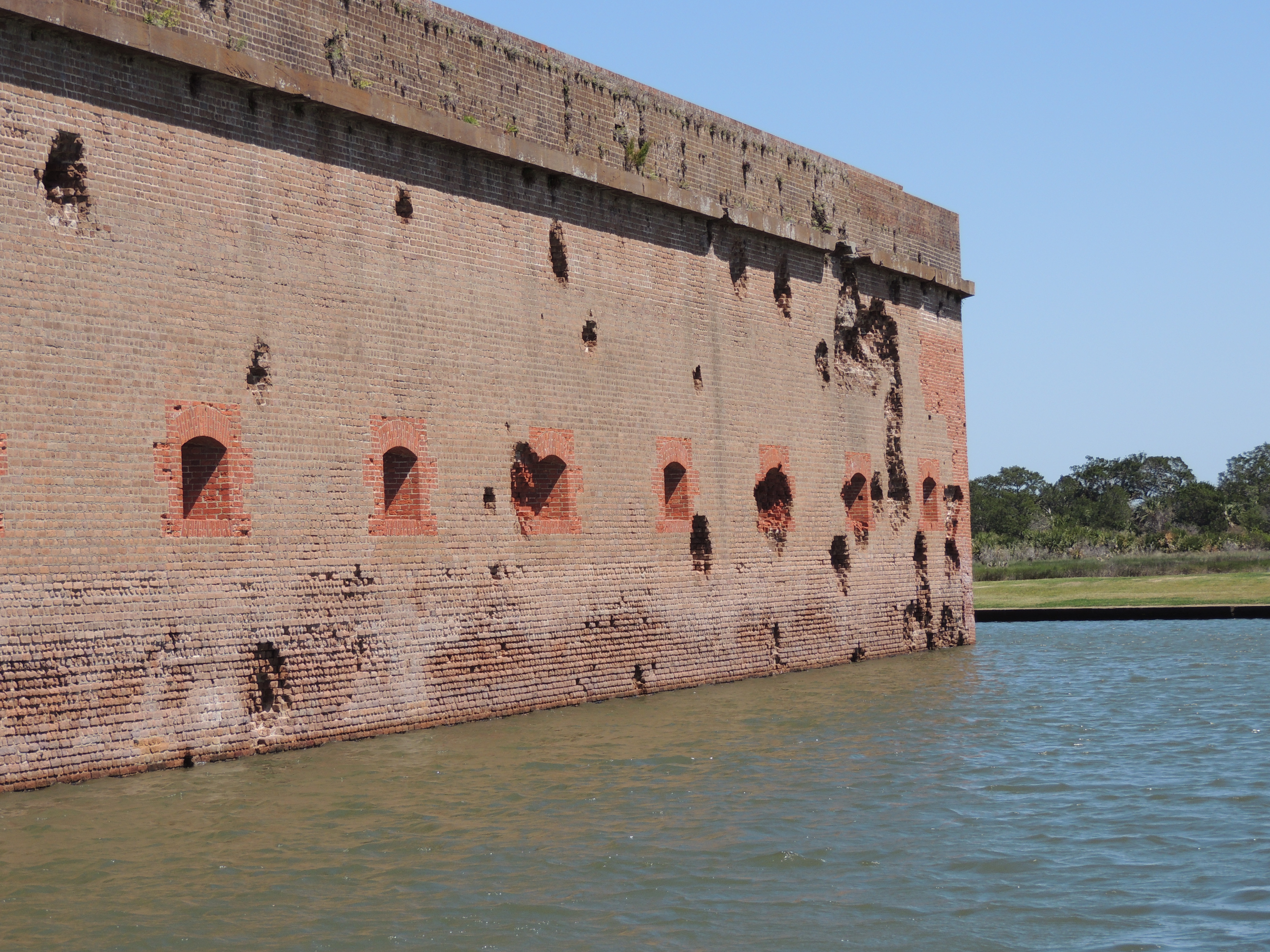
The last highlight was a return to Savannah, GA and Fort Pulaski National Monument.

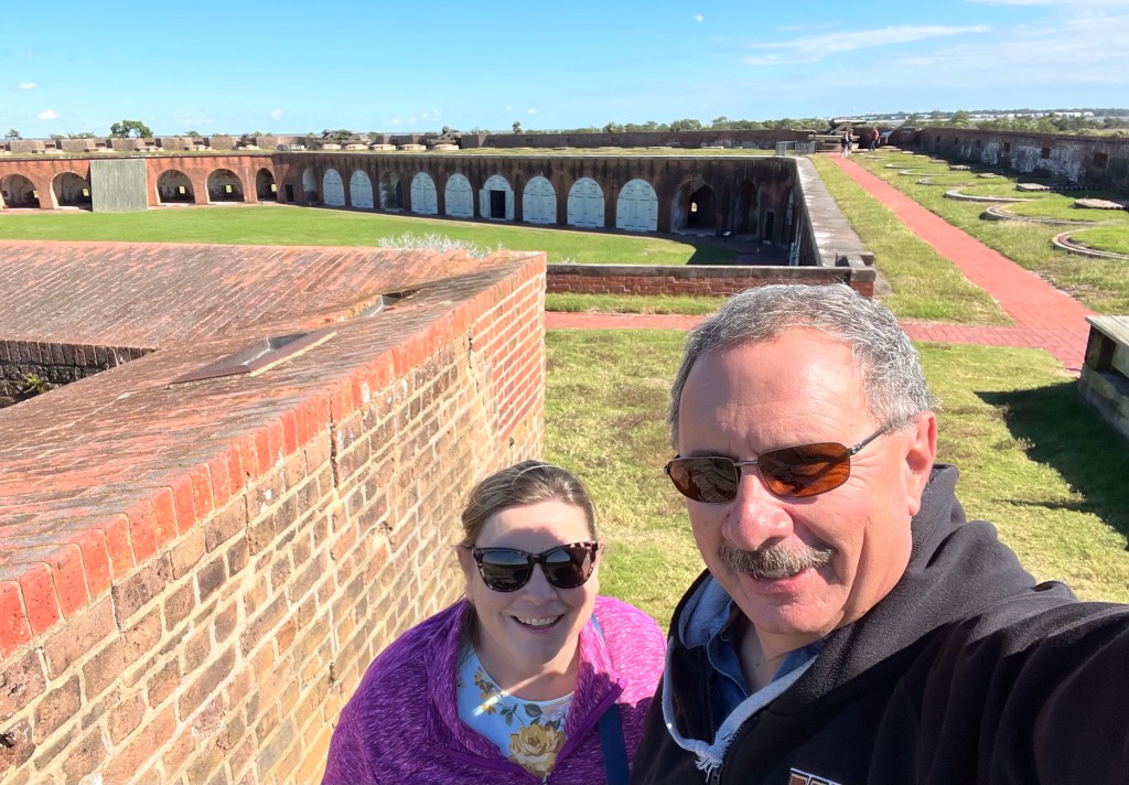
The engineering that went into this fort is remarkable, yet it was rendered obsolete by the Union Army’s introduction of the rifled cannon shell. More on that story can be found in our post from our first visit by clicking HERE.

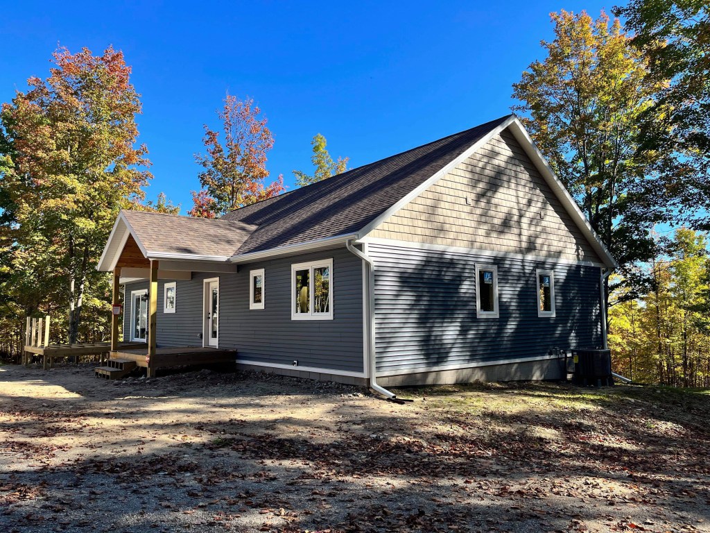
We arrived at our winter home in Melbourne Beach on November 1.

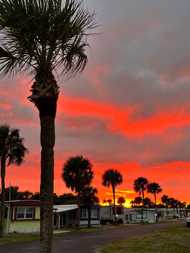
We look forward to a winter full of spectacular sunrises, sunsets and (hopefully) a few rocket launches! Stay tuned for that. Until next time, safe and happy travels to all!

Fort Pulaski

On the east end of Cockspur Island, in the middle of the Savannah River, sits one of the most massive brick fortifications ever built; Fort Pulaski.  This impressive structure was named for Count Casimir Pulaski, a Polish soldier who fought in the American Revolution and lost his life during the Battle of Savannah in 1779.  It was constructed over an 18 year period beginning in 1829, and sits on the Georgia side of the border with South Carolina. Sporting 7-1/2 foot thick walls that tower 32 feet above the 8 foot deep moat, it was felt that the structure was impenetrable.

z15

It was part of a coastal defense system put into place by President James Madison after the War of 1812.

z20

It is interesting to note that preliminary construction of the fort…including the canal system seen above…was the first assignment for a young cadet fresh out of West Point by the name of Robert E. Lee.  He was here from 1829 until 1831.

Even though it was completed in 1847, Fort Pulaski had not yet been manned by the army, nor was it fully gunned by the time 1860 rolled around.  On January 3, 1861, Georgia governor Joseph E. Brown ordered the state militia to occupy the fort.  This was in response to federal troops seizing Fort Sumter to the north at Charleston just two weeks earlier, after South Carolina voted to secede from the Union.  Savannah was an important port for the southern states, and vital to the success of the Confederacy.

z16

Work began in earnest to ready the post for the battle that was sure to come.  Thick timbers, such as can be seen in the photo above, were leaned against the inner walls.  This allowed a protected passageway between the casemates that surrounded the perimeter.

z14

Within a year, Union troops were setting up a series of 11 batteries on nearby Tybee Island, just to the southeast.  Those positions are signified in red in the above photo.  With the south and southeast walls of the fort (noted in green) at more than a mile away, it was felt by the Confederates that they were safe from anything the Union army could lob at them from that distance.  What they did not know was that the Federal troops had a new weapon: the 30 pound Parrott rifled cannon.  This gun had spiraled grooves the length of its bore which increase the accuracy and velocity of its 30 pound bullet-shaped projectiles.  This gun had a range of nearly five miles, so breaching Fort Pulaski’s walls at a mere mile away was a fairly easy task.  There were five of these guns in the Union’s arsenal on Tybee’s shore, along with five smaller rifled guns and twenty-six mortars.

z2

On April 10, 1862, Captain Quincy A. Gilmore sent a boat to Cockspur under the flag of truce to demand the confederates surrender the fort.  That demand was refused, so Gilmore ordered his men to open fire. Thirty hours and over five thousand shells later, the Union army opened a hole in the southeast corner of the fort.  The area that was destroyed was reconstructed and can be seen above as darker red brick.  The rest of the garrison walls still show the damage to this day.  Fearing that his powder magazines would be breached and the entire fort would be destroyed by the resulting explosion, Confederate Col. Charles H. Olmstead surrendered.  Similar to the unsinkable Titanic that sank almost 50 years to the day later, this impenetrable fort was penetrated.  Needless to say, confederate leaders were shocked.

z4

Visitors today can still see some of the shells embedded in the walls, the backs of which all face northeast.

z3

Even the tip of the southeastern-most cannon was damaged in the battle.

z12

This is the view the Union soldiers had from Tybee Island, about one mile from the garrison’s southeast flank.

z13

Amazingly, little Cockspur Island Lighthouse received hardly any damage during the siege, even though it was in the direct line of fire.  It is still standing strong.  It was re-lit in 2007 for historical purposes.

The 30 hour battle at Fort Pulaski rendered brick fortifications obsolete.  Union troops repaired the hole in the outer walls and turned the structure into a prison until the end of the war.  It was here that the Immortal Six Hundred…Confederate prisoners who refused to take an oath of allegiance to the United States…were held under horrible conditions. Thirteen of them died there and were buried along the outside bank of the moat. By 1880, only a lighthouse keeper and a caretaker remained.  They too were soon gone, and the fort was left to the forces of nature.  In 1924, Fort Pulaski was made a national monument, with restoration efforts taking place during the Great Depression.

z17

We learned a lot from our visit to Fort Pulaski, all while each adding a Junior Ranger badge to our collection.  If there is one important takeaway from this monument, it is the fact that no one is invincible.

Stay tuned to see what we find as we explore further up the coast.  Until next time, safe travels!