Surrounding the town of Moab, Utah are two very different national parks: Arches and Canyonlands. The former concentrates on formations that soar above the park visitors and the latter focuses on an expansive area that is carved out below them. After working our way north from the Grand Canyon, we were looking forward to seeing these two geologic gems.
Pulling into Moab, the first thing we noticed was how busy the town was. This community not only supports the two national parks, but also the surrounding public lands that are enjoyed by the off-road and mountain biking communities. Despite the congestion, the city worked well for us while we were there.
Our first full day found us in Arches National Park.
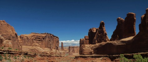
This preserve is known not only for its soaring spans of rock, but also its towering sandstone formations, such as this one named Park Avenue. Not quite New York City, but we could see where they were coming from when they named it. 🙂
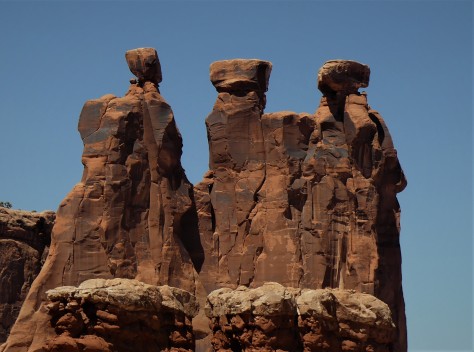
The groupings of rock each took on their own personalities. This one is referred to as Three Gossips. I pictured this chatty trio as being from Ancient Egypt.
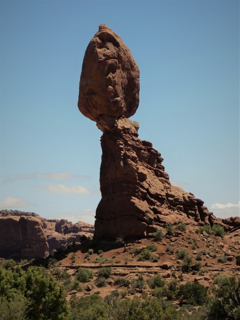
Some, like the 120-plus foot tall Balanced Rock, had us wondering when they might topple over…especially with them being made of sandstone.
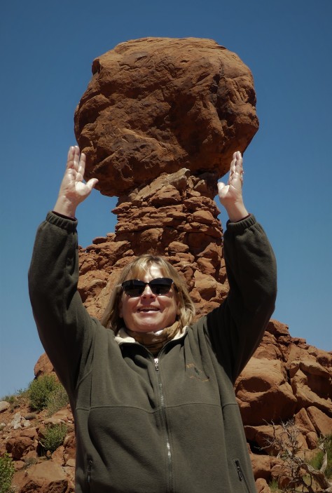
Diana decided to see if she could steady this one for a few seconds. 🙂 Eventually it will come tumbling down, as her arms were getting tired.
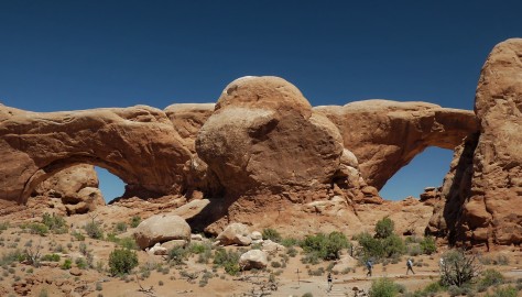
These two beauties are called North and South Window.
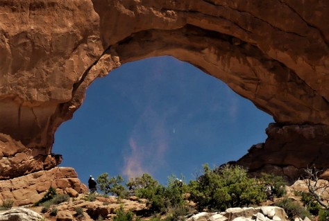
While we were talking with another couple about how beautiful the park was, this whirlwind spun up within North Window.
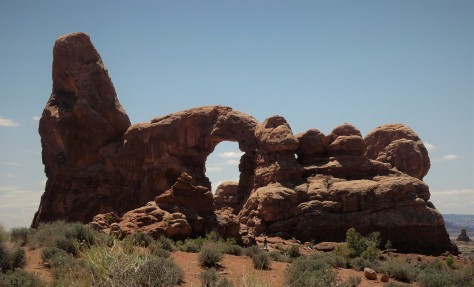
Behind us was another formation referred to as Turret Arch. We hiked over to check it out.
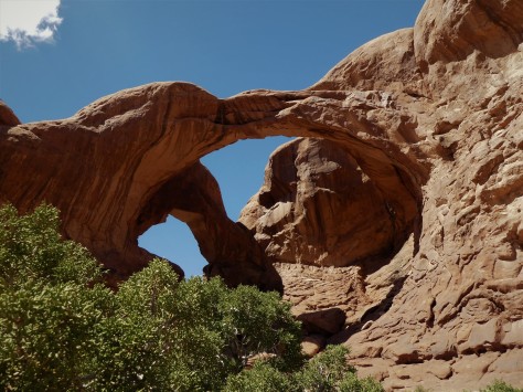
From there, we walked over to Double Arch. The water stains on the rock are evident from the previous evenings rains.
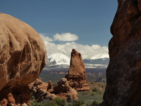
The amazing snowpack on the ever-present La Sal Mountains provided an interesting contrast to the red rocks and green sage of the desert.
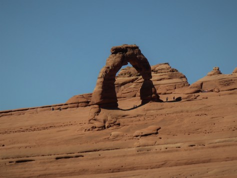
We also hiked to the upper viewpoint for Delicate Arch, leaving the three mile trail to the formation for a future visit. Note that people in the photo are plumb; the entire landscape slopes upwards at 6 degrees. If this was our RV, we’d be hauling out the leveling blocks, for sure.
Our final spot for the day was a trek out to Landscape Arch.
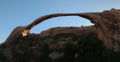
Looking at this 290 foot long span, we think the people who named it should have called it Delicate Arch. It appears ready to fall at any time. As a matter of fact, visitors in 1991 witnessed a 60 foot chunk fall off, after which the trail underneath was permanently closed. Two more chunks fell off in 1995, so plan to see this beauty soon…before its too late!
Our second day in Moab saw us heading out to Canyonlands National Park. This place was enormous! Below is a photo of the Green River.
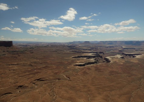
Within this same chasm the Green River flows into the Colorado River, heading south to Lake Powell and eventually the Grand Canyon. Almost like a canyon within a canyon, it was difficult to imagine how a set of rivers could have formed this.
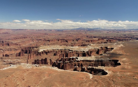
Many of the spires below us were similar to the towers we viewed the day before at Arches.
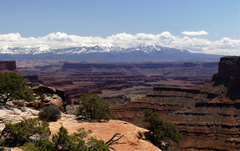
With the La Sal Mountains as a backdrop, the cataract took on an otherworldly appearance.
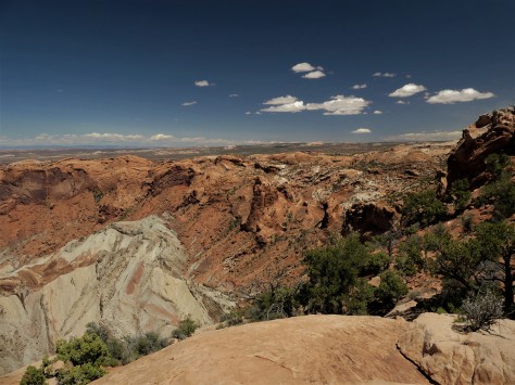
One of our hikes while we were there was to Upheaval Dome. Geologists aren’t sure of it’s origin, thinking that it was possibly caused by a meteor strike. The upward folds in the rimrock point to that possibility.
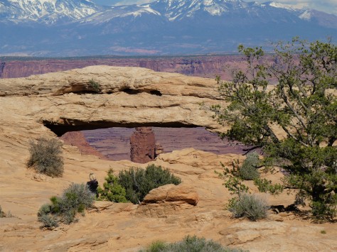
We also hiked to Mesa Arch, which sits right on the edge of the canyon.
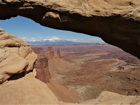
Inching up closer, the drop off becomes quite evident. Don’t worry, I was safely back on solid ground, extending my camera out for this shot. 🙂
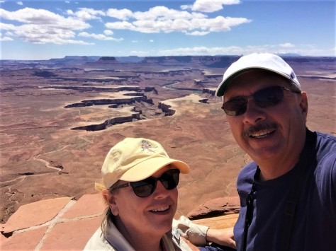
We also earned our Junior Ranger badges for both parks while we were at Canyonlands. It was a great day!
Our final day in Moab started out with us doing laundry and grocery shopping, as we had no idea the level of services in the towns ahead. Once that was completed, we headed back to Arches.
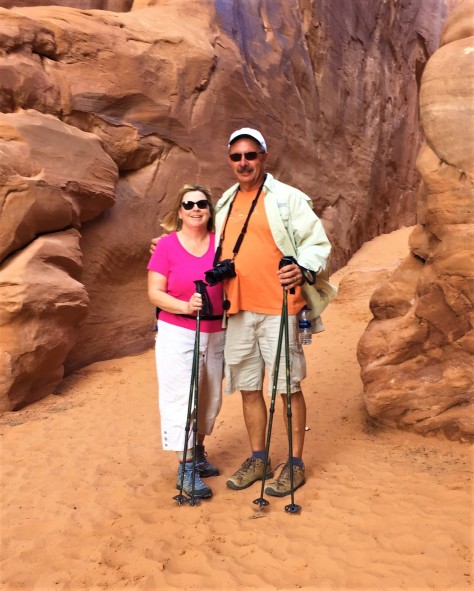
Here we are at the beginning of the trail to Sand Dune Arch.
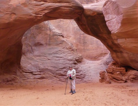
Appropriately named, the floor beneath this span is all soft sand. In fact, one family brought their beach toys. Tempting as it was, it was not us. 😉
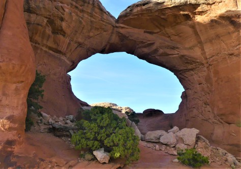
From there, we took a 1.3 mile round trip hike to Broken Arch, which rounded out our time in this beautiful area.
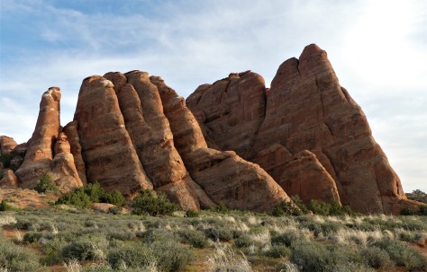
As the sun began to set on the fins of sandstone in the northern portion of the park, we said farewell to this area. We promise to return in the future.
Next up: we move further into Utah to explore more of this beautiful state. Our weather forced us to execute Plan B, and what a wonderful surprise that was! Stay tuned to find out more on that adventure. Until then, safe and happy travels to all!
