Category Archives: National Monuments

A Bunch of Fun Meet Ups in the Black Hills!

A few posts back, during our wrap-up of our time in Oregon, we received an offer from Jim and Barb to stay on their property in South Dakota.  We had been following their blog, Jim and Barb’s RV Adventure, since 2014….yet we hadn’t met in person.  Our original plan was to take our time and visit several Lewis and Clark stops on our way through Idaho and Montana, but the smoke in those states put a damper on that.  We were scheduled to meet a friend on her day off in Bismarck, North Dakota on September 16, so a detour to South Dakota would add 300 miles to the trip. 

Except this isn’t a trip….it’s a journey.  😊

We had the time, our home has wheels, and we really wanted to meet them!  We found our way towards their place and up to the back of the property, to a site that Jim had just leveled out for us with a skid steer.  Sweet!

How’s that for a view?  To top it off, Jim and Barb made us a delicious dinner of Pasha Lake walleye.  Very tasty!  We then watched the Minnesota Vikings beat the New Orleans Saints…which was OK with me, as my Lions had won earlier in the day.  The Vikings and Lions are in the same division.

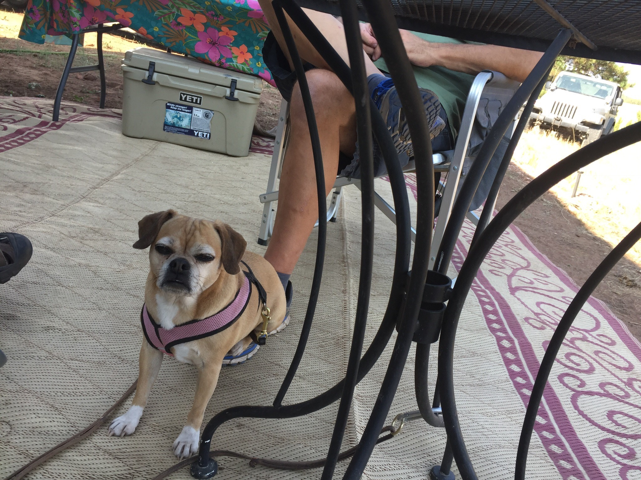
Of course, their dog Daisy had to let me know what she thought of the Detroit Lions team colors on my shoes.  😉

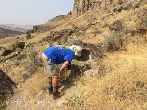
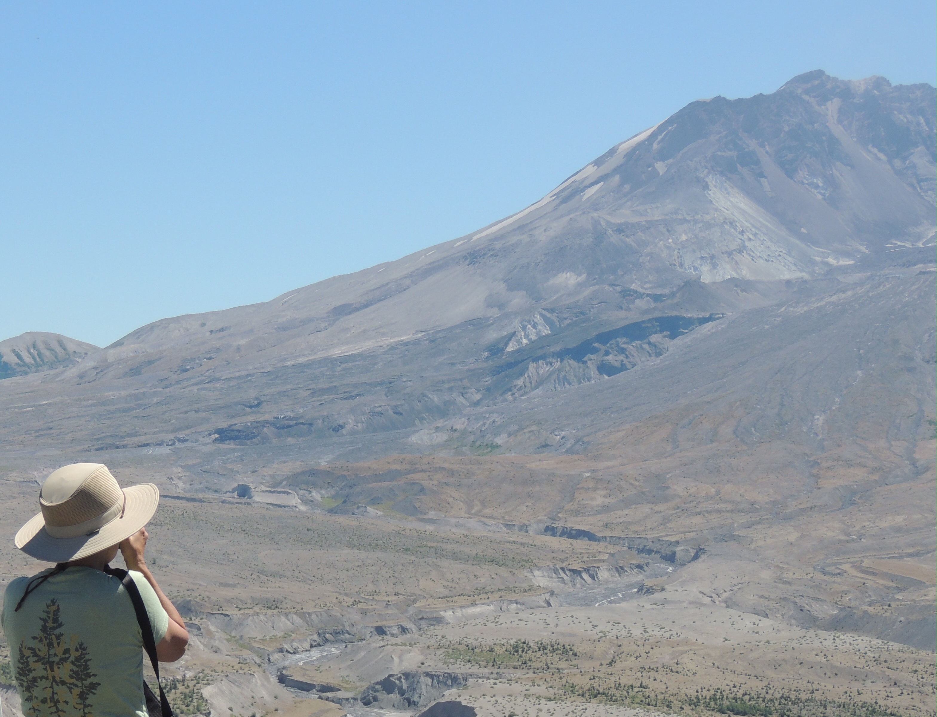
The next day, we walked their property and checked out some of the trail cameras they had placed.  They revealed that there is plenty of wildlife that make their way through the land!  We then went for a drive with them and saw the Crazy Horse Memorial.

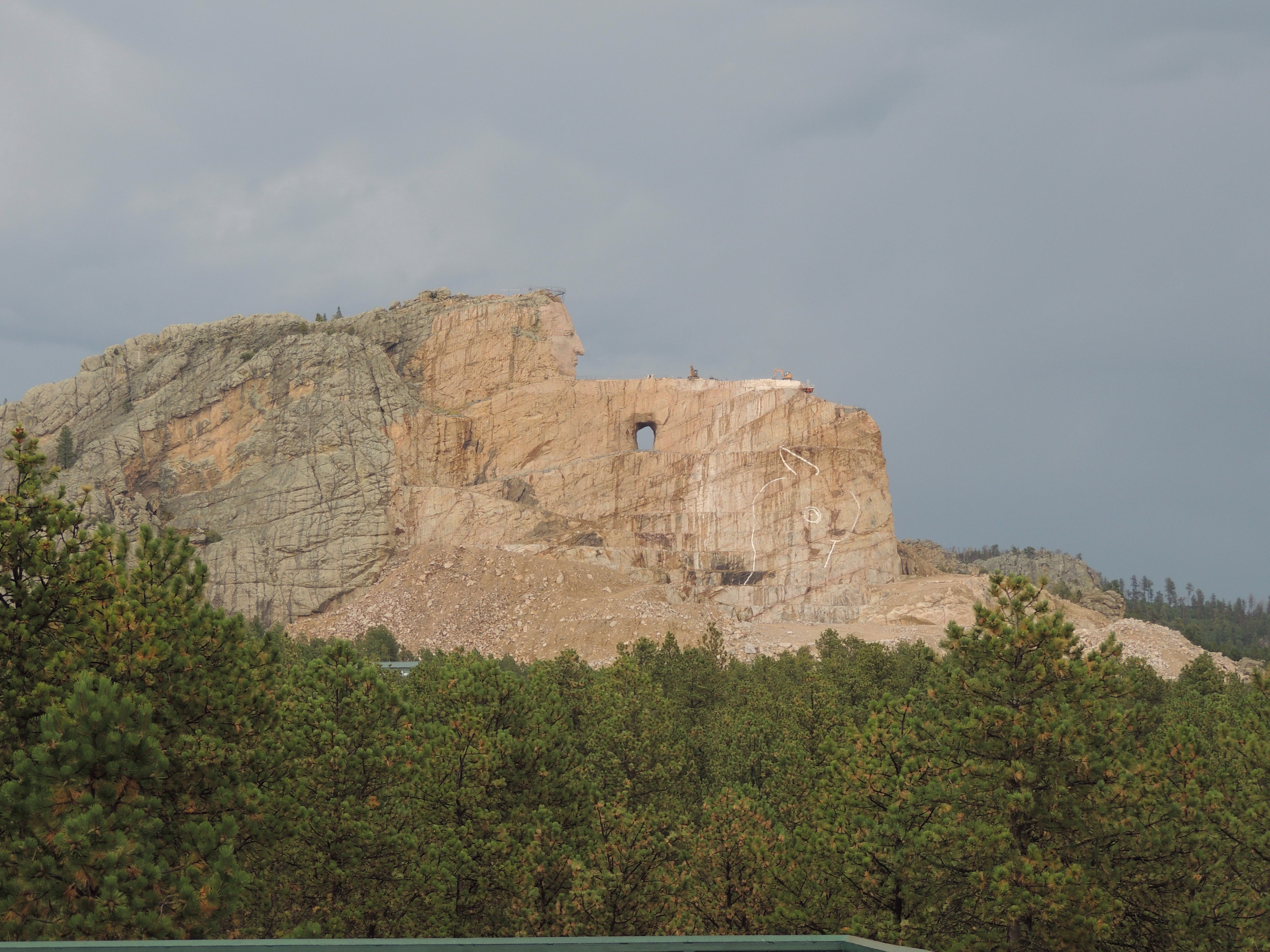
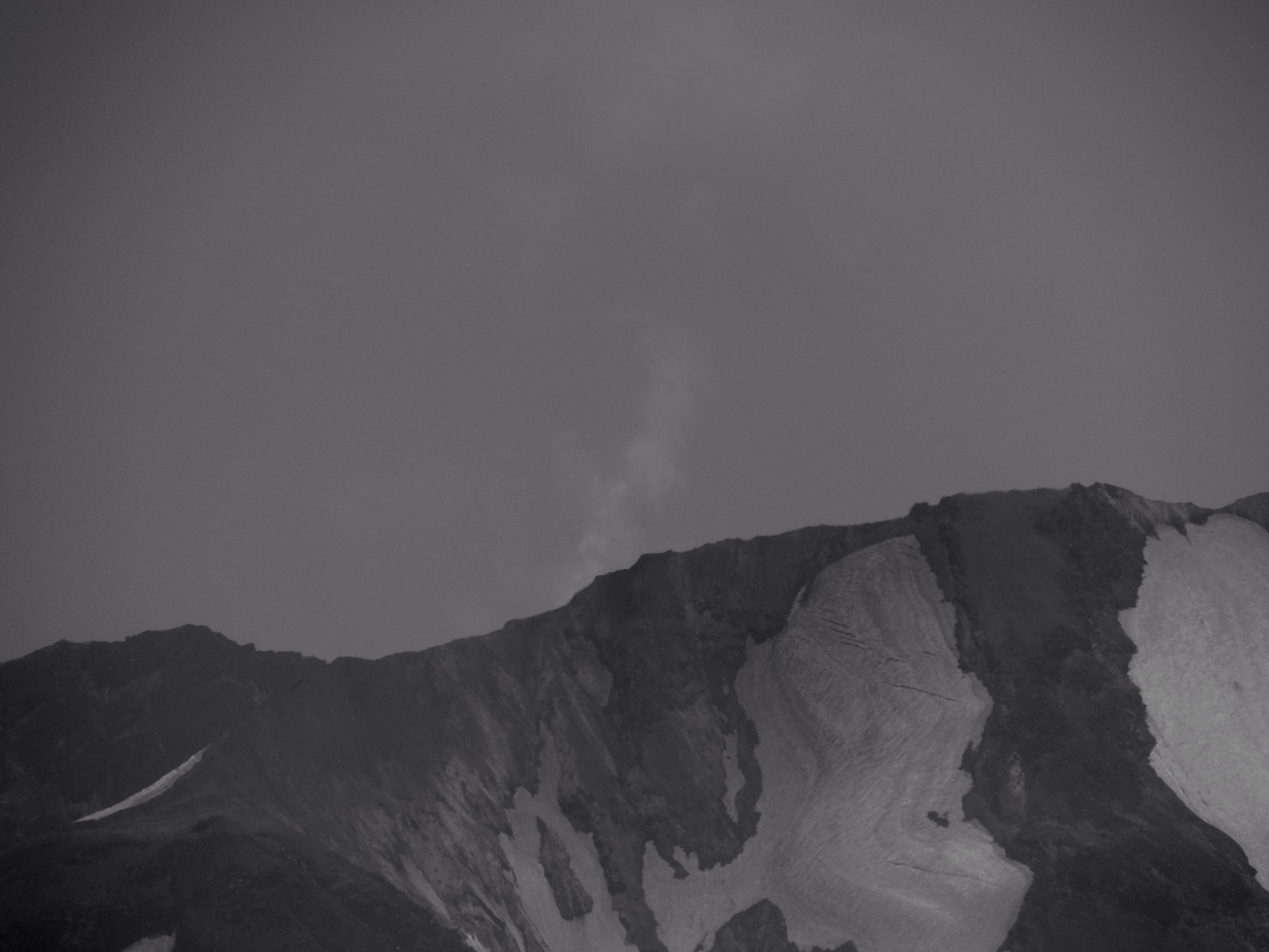
This is definitely a work in progress.  It’s hard to imagine how huge this carving is, until you zoom in on the top of the warrior’s arm.

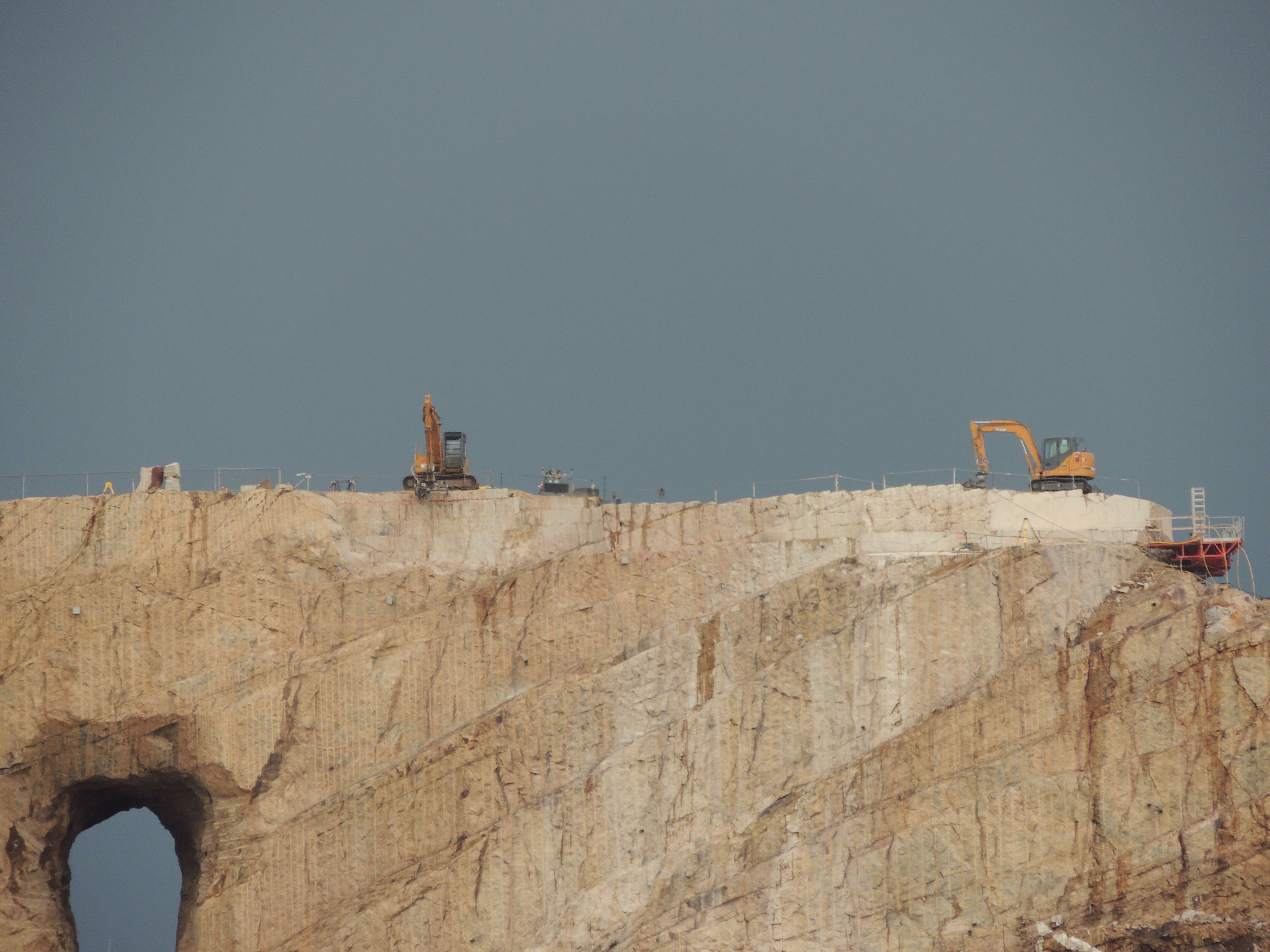
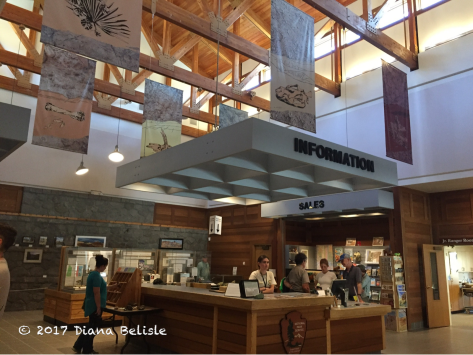
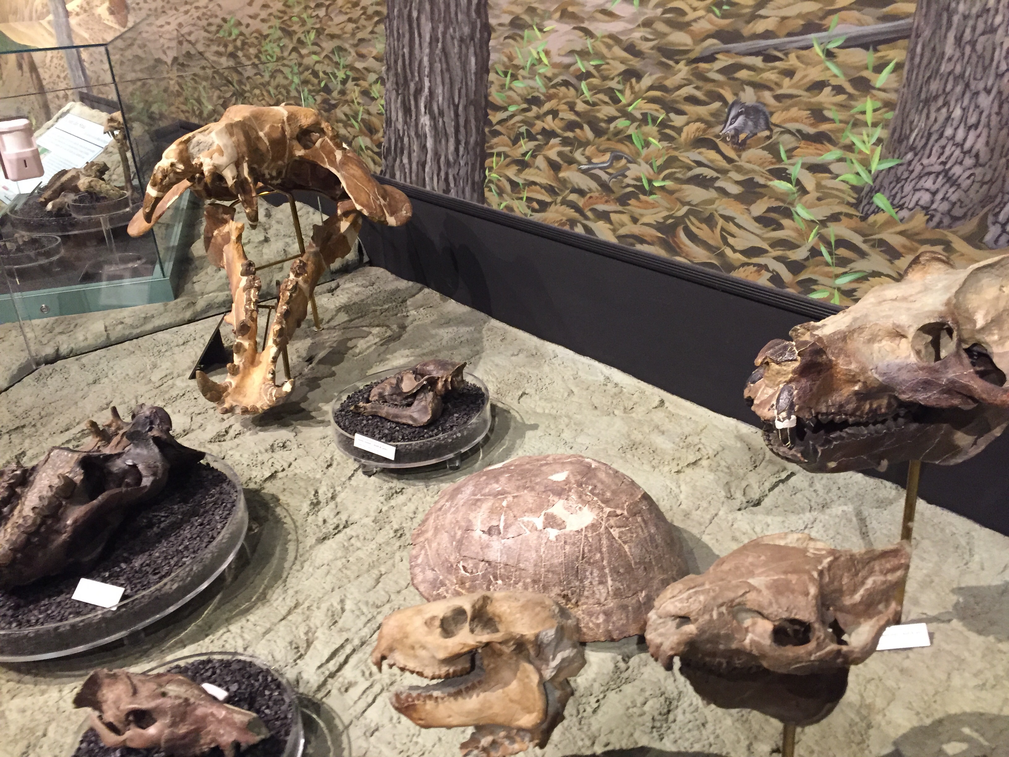
Those are two huge backhoes up there!  There is a lot of controversy surrounding this monument and Mount Rushmore, as the Oglala Sioux consider this sacred ground.  Since this mountain is being carved, it would be nice to see it finished.   The Native American museum at the site is very well done.  Tribes from all over the country are represented.

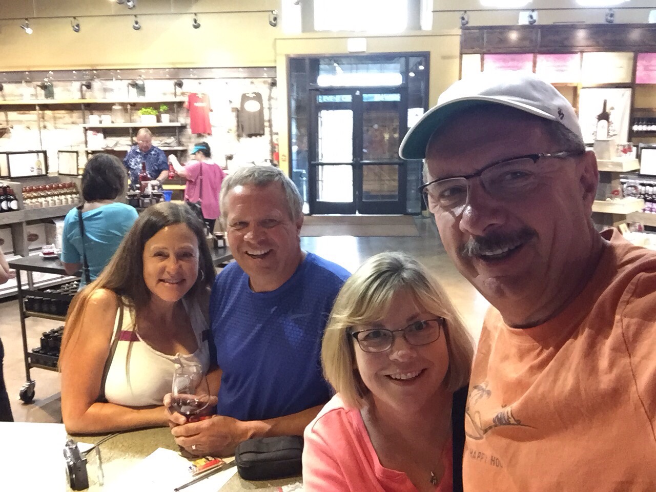
The next day, Diana and I met up with her cousin Nancy and husband David.  You may remember them from our trips to Big Bend and also to Napa Valley.  They were on their way from visiting David’s South Dakota relatives and heading out to see their niece and family in Colorado. Getting to see them was another bonus to being in the area. We toured Mount Rushmore this time!

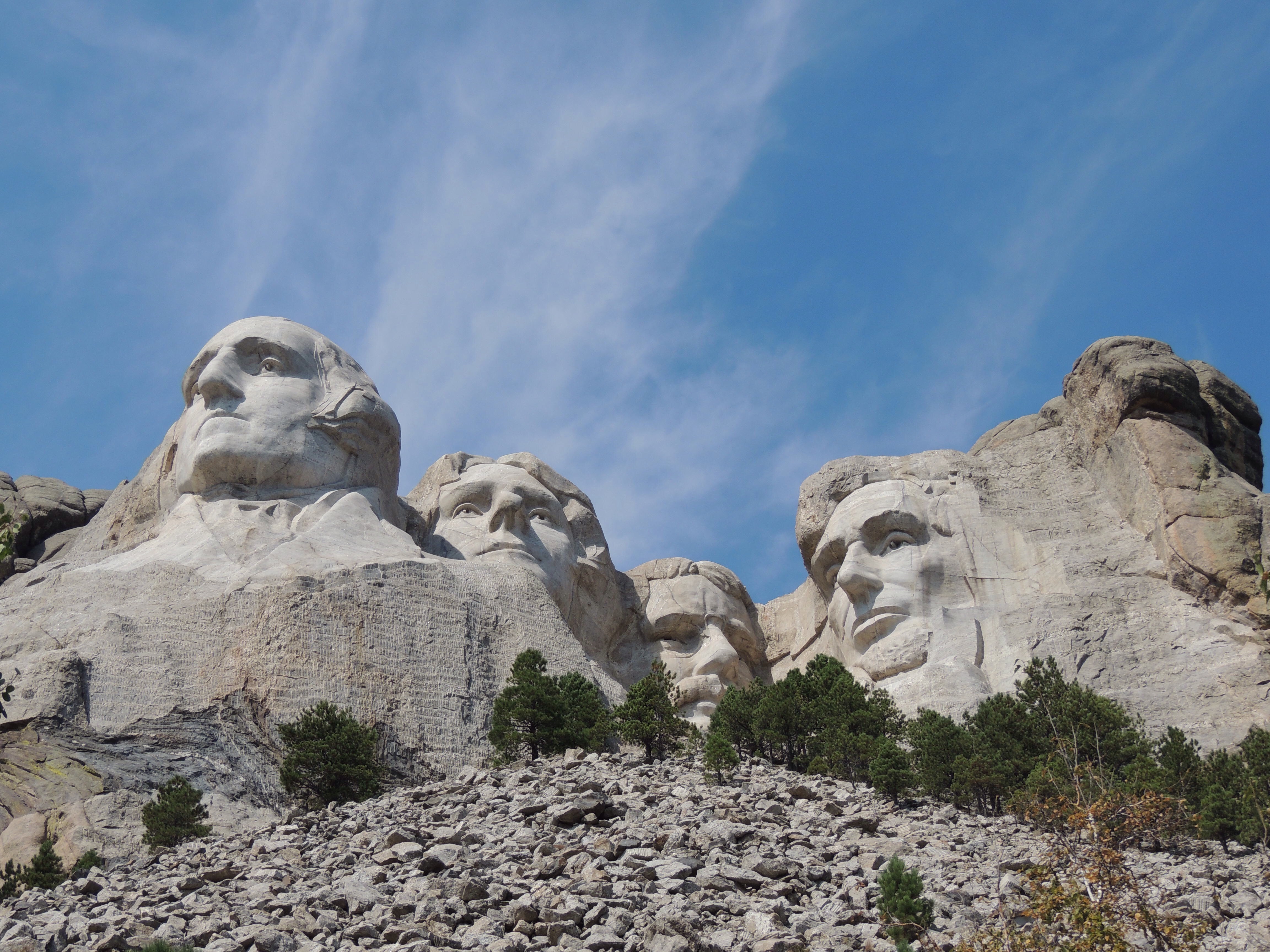
Walking on the Presidential Trail, you really can see the intricacies of the carvings.  But when you back away…

You can clearly see they’ve been busy adding additional figures…by George!  

On our way out of town the next day, we stopped by the Mt. Rushmore KOA and saw our friend Kathy, who we met at Amazon last fall.  She’s been working at the campground all summer and has really enjoyed it.

We failed to get a picture, so I borrowed her Facebook profile photo.  She’s the one on the left.  😉

So as far as detours go, this was an excellent side trip!

We really appreciated Jim and Barb’s generous offer and we had a marvelous time with them!  It will be great to meet up again down the road, that’s for sure!

Up next, we move up to North Dakota. More time with friends and some great Lewis and Clark discoveries!  Be sure to stay tuned!

———-

Click here for Black Hills items and everything else under the sun on our exploRVistas Amazon link!
———-

explorRVistas is a participant in the Amazon Services LLC Associates Program, an affiliate advertising program designed to provide a means for sites to earn advertising fees by advertising and linking to Amazon .com. Shopping through our link does not add anything to your cost, but it does help support this blog. Thank you for shopping through exploRVistas!

John Day Fossil Beds National Monument

The past couple of months could be labeled as ‘the summer of really old stuff’ for us.  Whether it’s looking at galaxies or nebulae through Prineville Reservoir’s telescope that are thousands of light years away or hiking among rocks that are even older, we’ve seen things that are downright ancient!  Even being the history and science buffs we are, some of what we’ve seen has been hard to wrap our minds around.  One place in central Oregon that examines this prehistoric strata is John Day Fossil Beds National Monument.  Spread out over a wide portion of the area in three locations, this park is home to fossils that date back 40 million years!  It also is fortunate to have some of the most stunning scenery in the state.

During our time in Prineville, we made three separate visits to John Day Fossil Beds.  Our first two were to the Sheep Rock and the Painted Hills units.  One of those visits was with our friends Bob and Kathrun, on our way home from our day trip to Kam Wah Chung.  Our last visit to the park this past week was to the Clarno Unit, so we could get out to see some actual fossils embedded in the exposed rocks.

The Sheep Rock unit is where the Thomas Condon Visitor Center is located.  This was our first stop.

Mr. Condon was a minister/scientist in the 1800’s who believed that the church had nothing to fear from the concept of evolution, as it was simply God’s way of working.  During his time at The Dalles, Oregon, he was intrigued by the fossils that gold miners would bring him.  That led him to Oregon’s interior and the area surrounding John Day.

img_3032-2

The visitor center named after him is outstanding!   The first thing we did upon arrival was to get our Junior Ranger books.  Looking through them, we knew this was going to be a difficult subject to grasp, as it spans so many millions of years.  We started through the gallery, which goes from the oldest fossils to the newest.  The floor is painted different colors to show what era or age you are in, which we found helpful.

To fully understand what happened to make this area such a treasure trove of fossils, you have to first know that this land was once the coastal area of Oregon.  The Cascade Mountains had yet to rise to the west, and the area around John Day was itself a volcanic region.  In fact, it was tropical, featuring versions of many of the creatures found in our current southern climates such as: giraffes, crocodiles, and hippopotamus.  Each volcanic eruption would bury more and more plants and animals, building layer upon layer in giant time capsules.  Over time, the volcanoes became extinct and the volcanic activity moved west.  As the current Cascades rose, the moisture from the ocean was somewhat cut off from the John Day region and the area became the high desert it is today.  Wind, rivers and rain eventually eroded the land, creating the massive valleys in the area and exposing millions of years worth of fossils, all stacked up like a giant birthday cake.  The lower the paleontologists looked on the hills, the older the fossils were!

As we worked through the Junior Ranger book, we began to understand how large of an area the fossil beds covered.  One of the ages actually extended all the way down to Prineville over 100 miles away, which we know is part of an extinct volcano.  The other thing we found extremely interesting was the timeline of the modern day horse.  They began as very small animals, evolving over time to nearly the size of today’s equines.  They were prevalent in both North America and Eurasia, but became extinct here around 11,000 years ago.  When the Spanish explorers came here in the late 1400’s, they unknowingly reintroduced them to the continent.

We completed the books and were sworn in as… Senior Rangers!  Wait a minute….what’s up with that???  Must be because my head was too big for the hat!

Once we left the visitor center, we explored the surrounding Sheep Rock area a bit.

The Cant Ranch is just up the road, and is an interpretive site run by the National Park Service.  It was closed the day we were there, so we walked around the grounds.

How’s that for a view from your back porch?

Just south of the visitor center is Picture Gorge.  Named after petroglyphs high on the gorge walls, this cut through the hills was created by the John Day River.  We drove through this with Bob and Kat, and it’s a great example of the layering in the area.

On our visit to the Clarno Unit, we took the 1/4 mile Fossil Trail and examined the plant fossils embedded in the rock.

download (3)

The hills across the road are all that’s left of the ancient volcano that created the palisades at Clarno.  Imagine that someday giants like Mt. Hood will be whittled down to this size.  Also note the evidence of the recent wildfires on the hills.  We saw miles and miles of charred land.

We saw fossilized leaves and sticks….

…a very-much-alive Western Fence Lizard…

…and a rabbit.  Good thing the volcano isn’t active, Mr. Bunny, or you could end up a fossil!

download (2)

With us examining every book and cranny of the rocks on the trail, that quarter mile took a long time!  The palesaides faced south, so the sun reflected off of them and the temperatures soared quickly.  We decided to save the other trails for another time.

The other place we visited, both with Bob and Kat and by ourselves, was the Painted Hills.

These hills were actually part of an ancient riverbed, with the alternating colors coming from different climactic periods.  As forces beneath the surface uplifted the soil, erosion exposed the layers we see today.

We really enjoyed exploring John Day Fossil Beds over the time we were in Central Oregon!  We just scratched the surface, that’s for sure. 😉

———-

A Closer Look at John Day Fossil Beds National Monument and other cool stuff by shopping our exploRVistas Amazon link HERE.

———-

explorRVistas is a participant in the Amazon Services LLC Associates Program, an affiliate advertising program designed to provide a means for sites to earn advertising fees by advertising and linking to Amazon .com. Shopping through our link does not add anything to your cost, but it does help support this blog. Thank you for shopping through exploRVistas!

Mount St. Helens

“Vancouver, Vancouver…this is it!”

Those were USGS volcanologist David Johnston’s last words from a ridge overlooking Mount St. Helens when it erupted on May 18, 1980.  He was a mere 6 miles from the crater.  The pyroclastic flow….hot gases and rock…took less than a minute to overtake his position and sweep him away.  He was never found, although pieces of his trailer and backpack were.

Besides him, 56 other people died…but thousands others were saved by Johnston’s warnings of an impending eruption.  

Harry R. Truman was another of the volcanos’ victims.  He had owned the Spirit Lake Lodge since 1928, which was located just 1 mile from the base of the mountain. He refused to heed the evacuation warnings, choosing to believe that the increasing earthquakes would settle down. The building, lake and him are buried beneath 150 feet of rock from the blast, and a new Spirit Lake formed at a higher elevation above the location.

Diana and I had visited Mount St. Helens back in 1996, just 16 years after the 1980 eruption.  At that time, thousands of acres of surrounding landscape laid barren.  The closest approach we could make by road was the Coldwater Ridge Visitor Center, a good two miles back from Johnston’s campsite.  We had heard that they had built a new visitor center since then, so we definitely wanted to get back and see it while we were here in Oregon.  We also wanted to see our friends Lee and Tracy, who are work camping a few hours away from there.  The four of us made plans to head to Mount St. Helens on Tuesday, August 2nd.

Coming in from the west, there are several viewpoints along the way.  With the top 2000 feet of the mountain removed by the eruption, it looks less than spectacular from this angle.  The land outside the park boundaries is owned by Weyerhaeuser Corporation, and was replanted three years before we were last here.  Those trees have grown a lot in the time since.

Upon arriving at the new visitor center, the view of the crater and the surrounding landscape opens up dramatically.  At this point, we are a full mile closer to the mountain than David Johnston was when it erupted.  The lava dome in the crater has grown dramatically since we visited in 1996.  It won’t be too many more years before it is higher than the edge of the crater rim.

Mount St. Helens has a major eruption every 125 years, so we were in the presence of a very active volcano.  While the steam rising out of the mountain was slightly unnerving, it also made being there very exciting!  

Here is Tracy taking in the view.  Her standing there really puts it into perspective how close we were to the crater.

We took a trail that heads out above the Johnston Visitor Center and towards a straight-on view of the volcano.  Looking back down, you can see how the building is built into the hillside.

And off to the north…the direction the mountain blew…an entire forest of trees still lays over from 37 years ago.  This area within the boundaries of the national monument is being allowed to regrow naturally, and it is amazing thing to see how quickly that is taking place.  

Still, it’s going to take a long time for a complete forest to return, only to possibly be blown over again by future volcanic activity.  

Diana and I remember the vivid red sunsets in Michigan during the summer of 1980 that were caused by the volcanic particles in the air.  That doesn’t seem like it was all that long ago.  Heck, had David Johnston survived, he’d only be 67 years old today.  To see how much things have changed in such a short period of time definitely make Mount St. Helens a place we want to come back to in the future!

Be sure to CLICK HERE to see Tracy and Lee’s excellent post about our trip!
———-

A Mount St. Helens day hiking guide, plus anything else imaginable by searching our exploRVistas Amazon link by clicking HERE.

———-

explorRVistas is a participant in the Amazon Services LLC Associates Program, an affiliate advertising program designed to provide a means for sites to earn advertising fees by advertising and linking to Amazon .com. Shopping through our link does not add anything to your cost, but it does help support this blog. Thank you for shopping through exploRVistas!
.