
On November 1, we relocated back to Grand Rapids, Michigan to be near Diana’s mom. We are evaluating the situation and trying to make the best decision regarding where to spend the winter.
Our first week back, we have been fortunate to have had some great fall weather. For three consecutive days, we had temperatures in the low 70’s, and we took advantage of the sunshine and checked out the local rail trails. The Grand Rapids metro area is home to an extensive collection of recreational trails, and each year brings more miles of paths onto the region’s map.

The above image shows the trails marked in red. As you can see, it is quite possible to ride a very long distance! 🙂
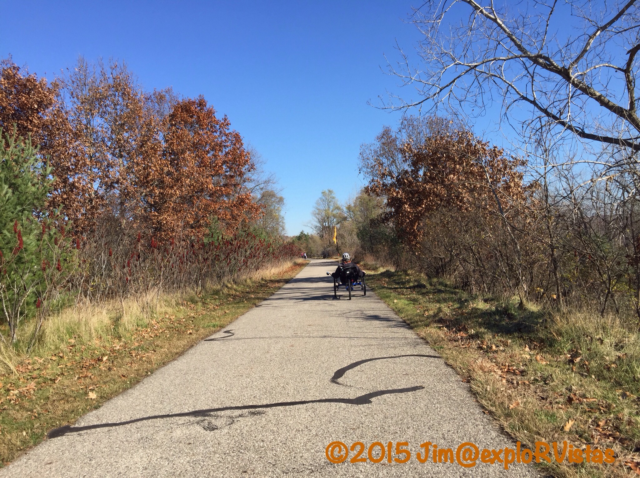
On Monday, November 2, we drove to the southern terminus of Kent Trails in Byron Center. This asphalt pathway was paved in 1992, and is the oldest rail trail in the region. It runs on the rail bed of the defunct Grand Rapids and Indiana Railroad, which first ran on this portion of land in 1870. At its peak, the railroad ran from Cincinnati, Ohio to Mackinaw City, Michigan, and was the route that Ernest Hemmingway took on his excursions to Northern Michigan from Chicago.
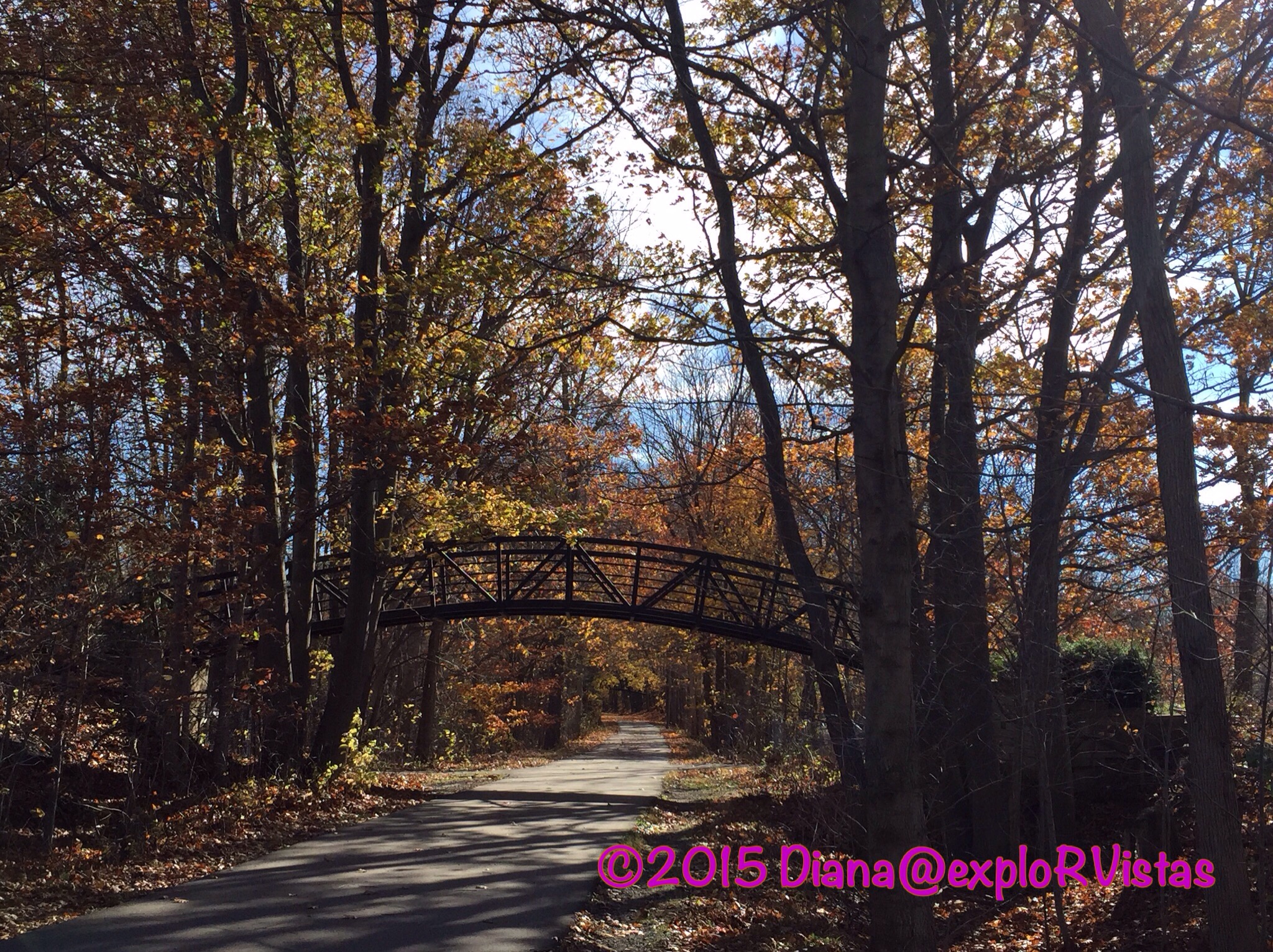
Coming north out of Byron Center, the trail runs between the two halves of Railside Golf Course. There are two of these graceful golf cart bridges over the path.
A few miles north, the trail goes under M-6, otherwise known as the South Beltline or the Paul Henry Freeway. We purposely are not political on this blog, but Mr. Henry’s legacy bears mentioning. Paul Henry was a Republican U.S. Congressman who oversaw the same district that Gerald Ford held when he was a congressman. From that office, Ford moved into the vice-presidency and then the presidency. Mr. Henry was known to vote with his conscience, even if it meant that he went against the rest of his party and President Reagan, which was quite remarkable in such a heavily Republican district. We had the pleasure of meeting him as he passed us at an outdoor cafe in Grand Rapids, and he was a true gentleman who was well respected on both sides of the aisle. He ended up getting a brain tumor and passing at age 51. During his tenure, this much needed highway was in the planning stages.
When we got to the five mile mark, we discovered that the trail passed by the new Cabela’s store in Grandville. We stopped for a little bit, then headed back the five miles to our truck.
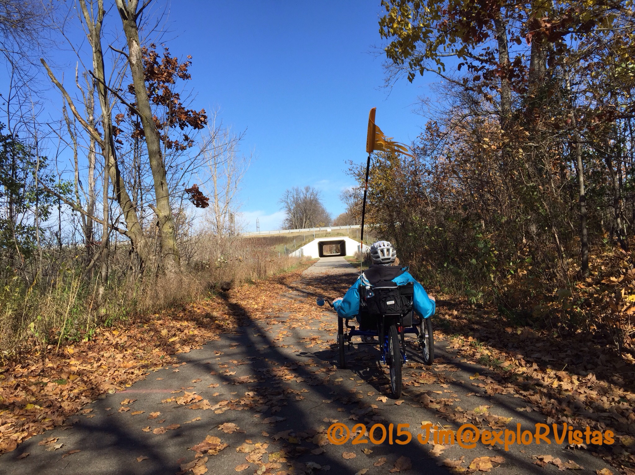
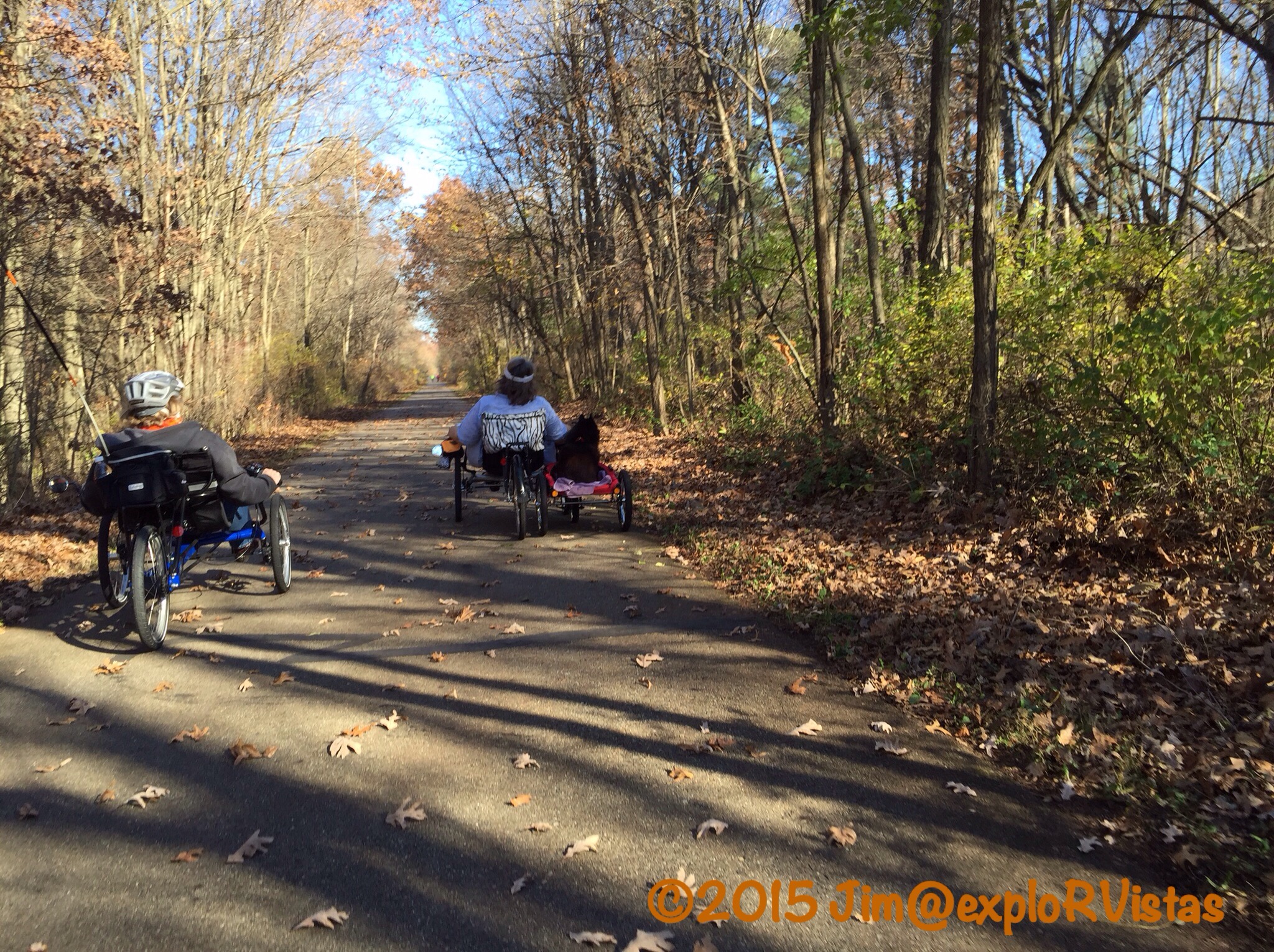
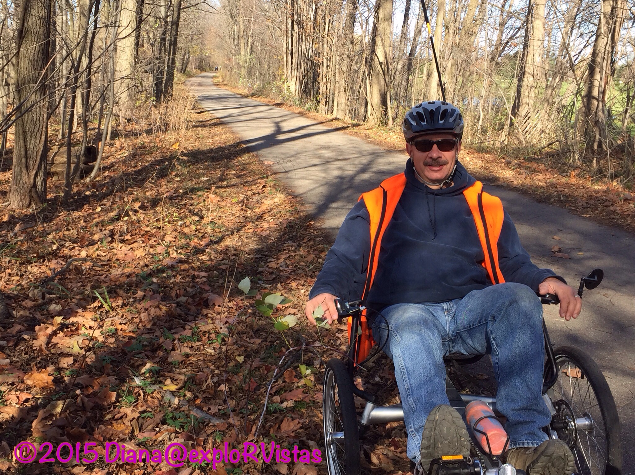
On Tuesday, we rode on the northern portion of the Paul Henry Thornapple Trail. This particular trail is still under development, and runs along a former railroad between Grand Rapids and Vermontville to the southeast. When complete, it will be 42 miles long.
We started on the outskirts of town and rode north into Kentwood, a southern suburb of Grand Rapids.
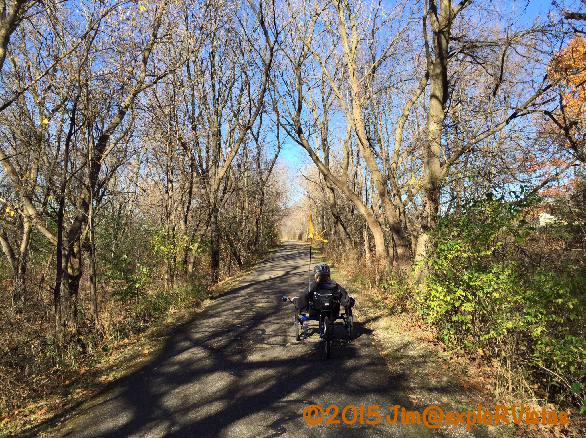
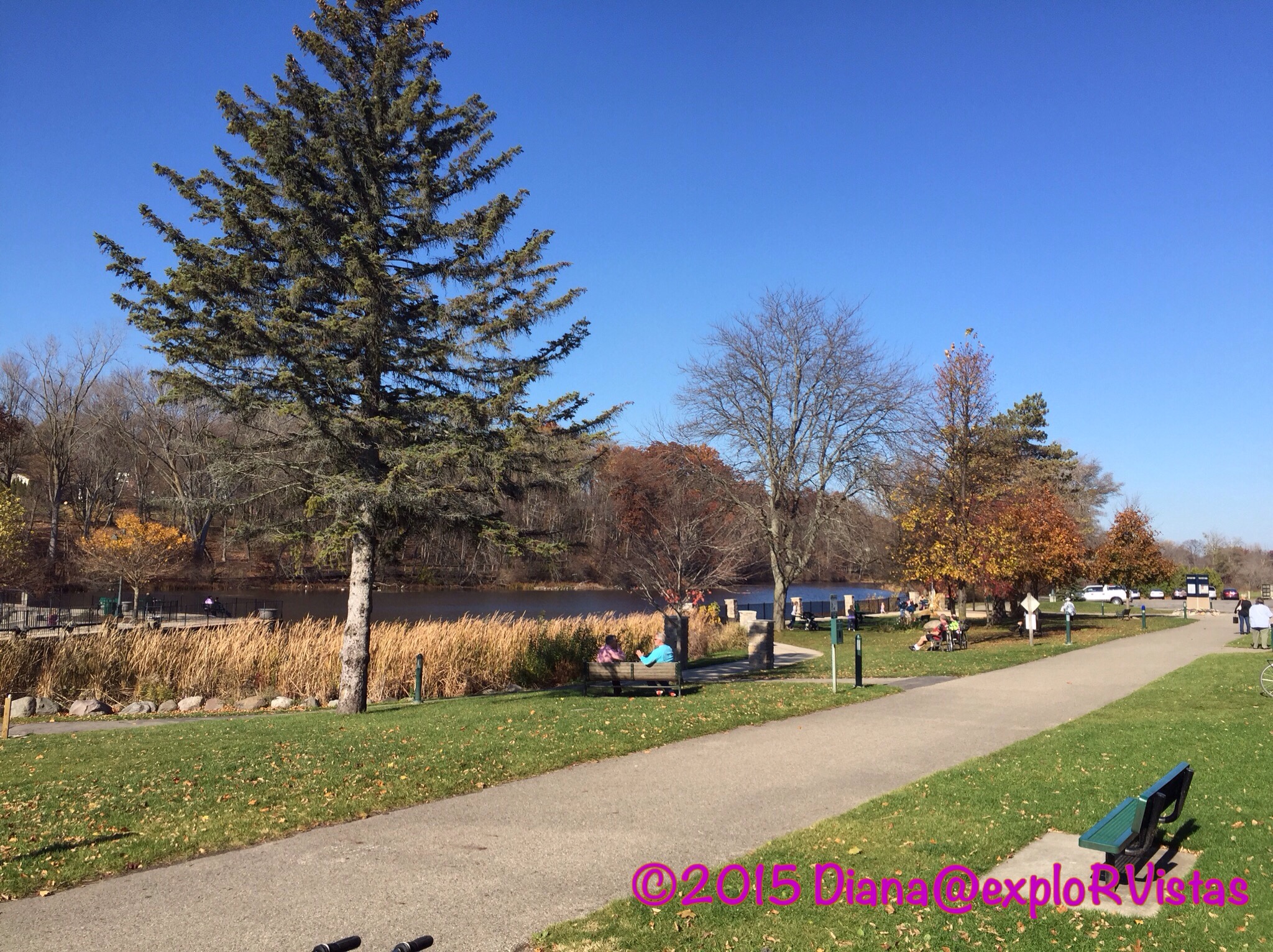
The trail was very nice. We did have to cross a five lane portion of 52nd Street, but it was at a traffic light. There was a nice city park with restrooms near that intersection.
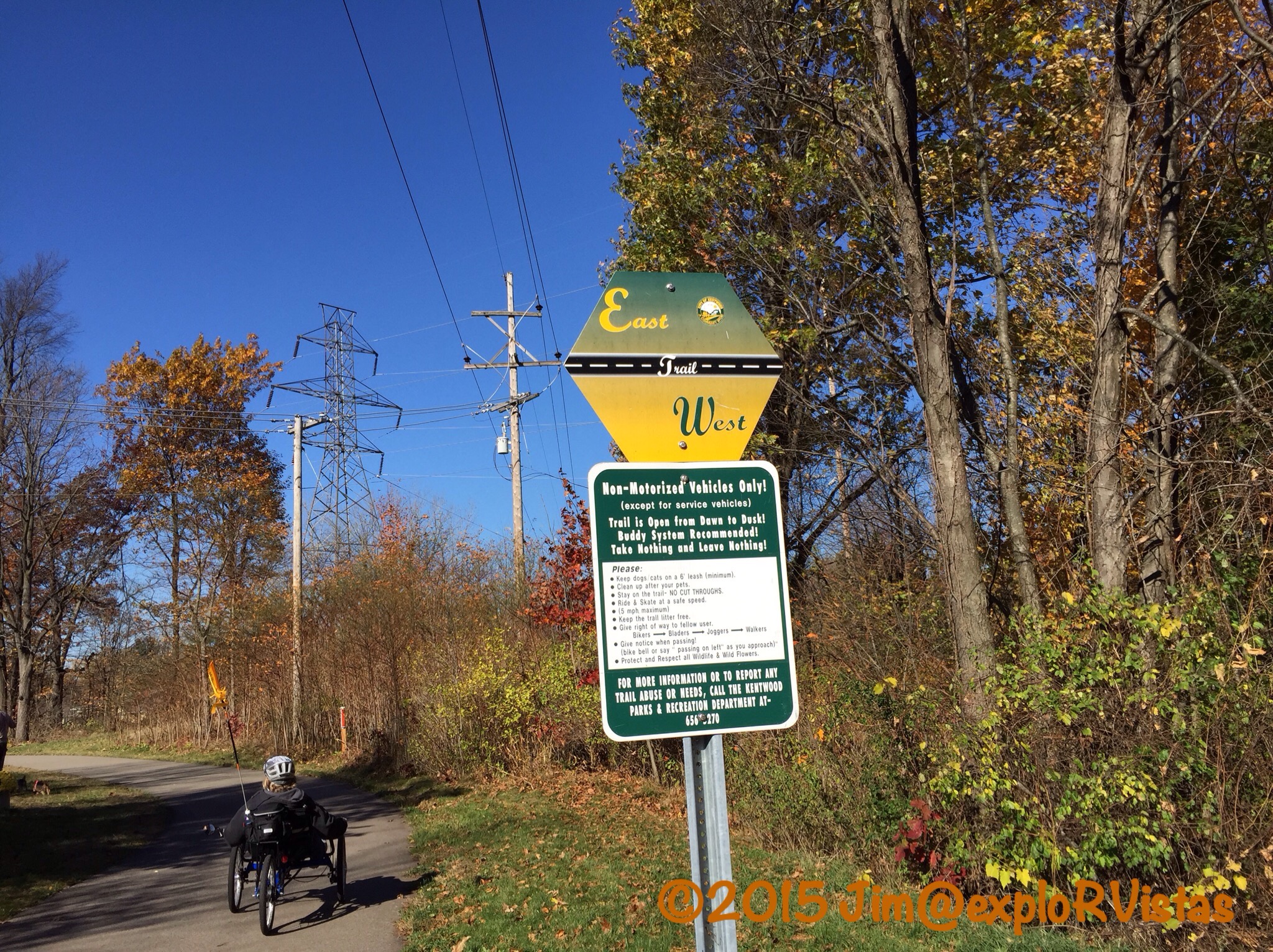
We came to an intersection with the East-West Trail and continued north on the Paul Henry Trail. The neighborhood started to get a little too urban for our taste, so we backtracked to the East-West Trail and checked it out.
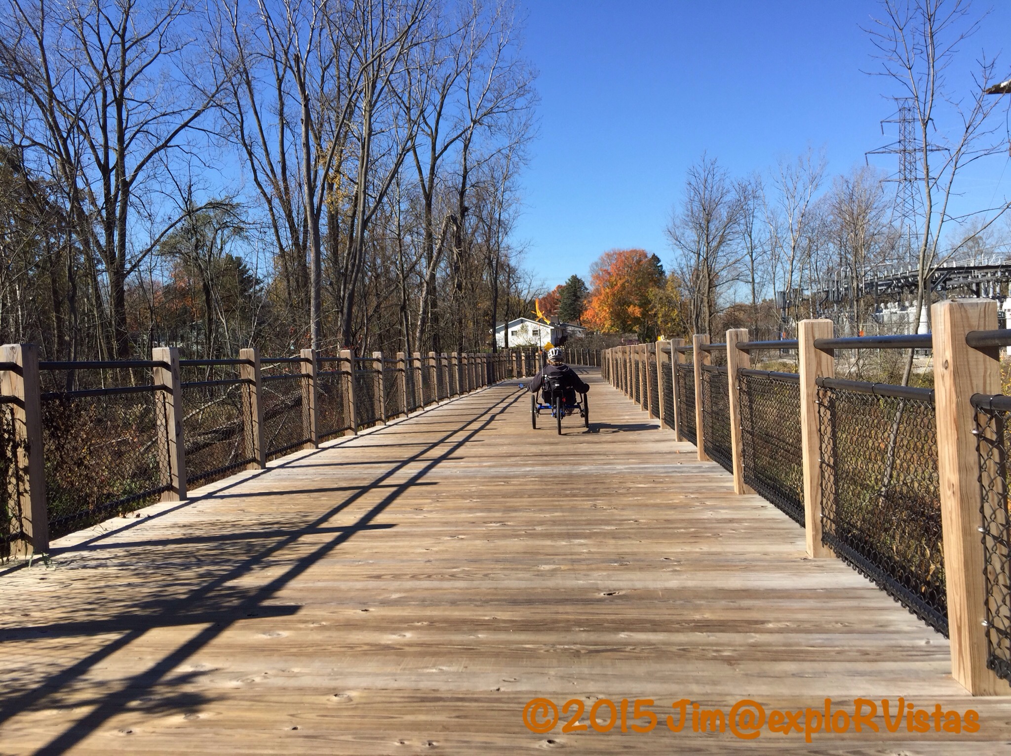
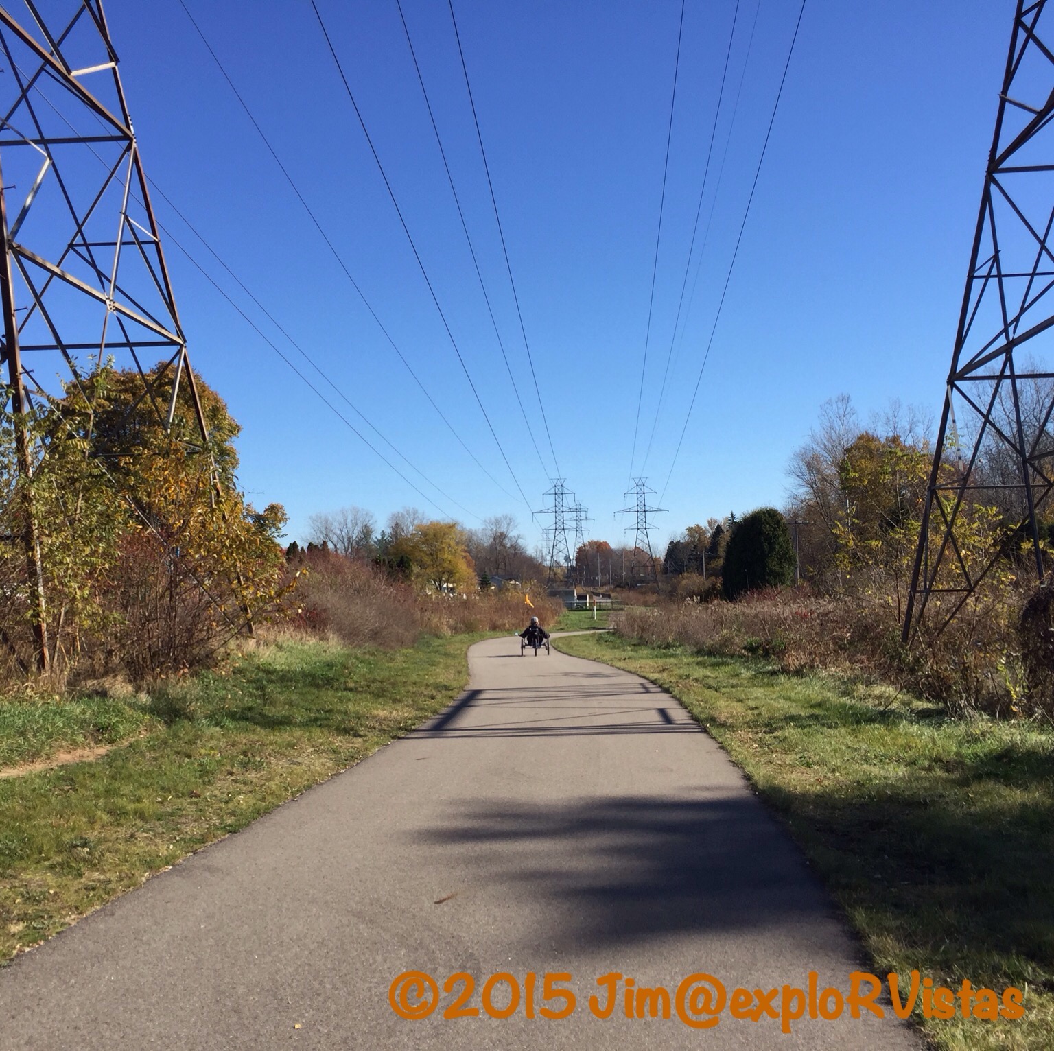
This is a fairly new route that runs along a series of high tension power lines through a Consumers Energy corridor. It’s definitely a suburban route, and is a great use of the land. This particular raised wooden path over a swamp was first rate!
Kudos to Consumers Energy for partnering with the community on this trail!
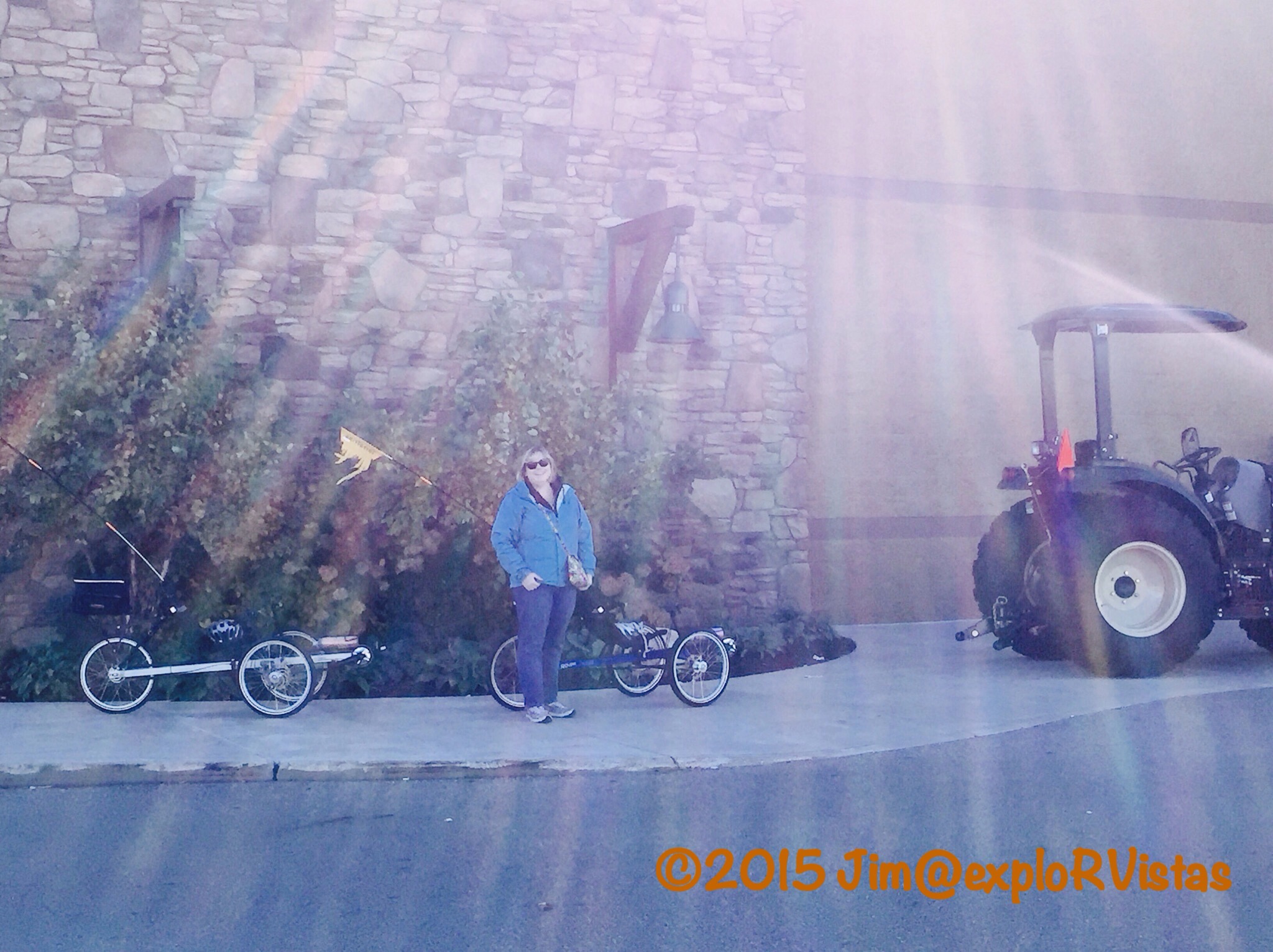
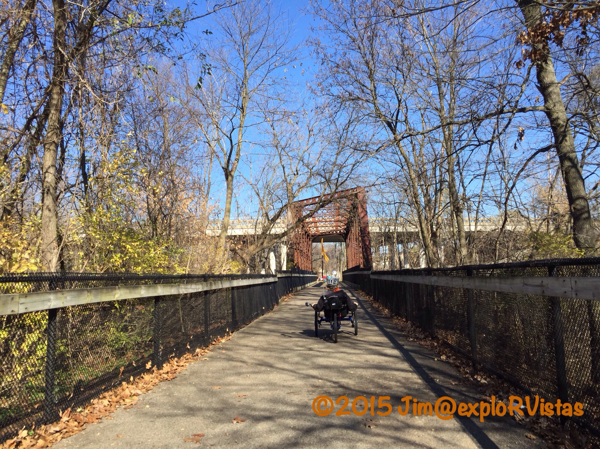
On Wednesday, we decided to check out one of the premiere trails in Michigan: The Fred Meijer White Pine Linear State Park. This trail runs along the same Grand Rapids and Indiana corridor that Kent Trails runs on, only the White Pine is from Grand Rapids north to Cadillac…a distance of 92 miles.
The southern 22 miles is asphalt, with the rest being a hopscotch of asphalt and crushed limestone. We started out in the town of Belmont and headed north.
In the parking lot, we had met this fellow TerraTrike owner who constructed this sidecar for her doggie. That was one happy puppy!
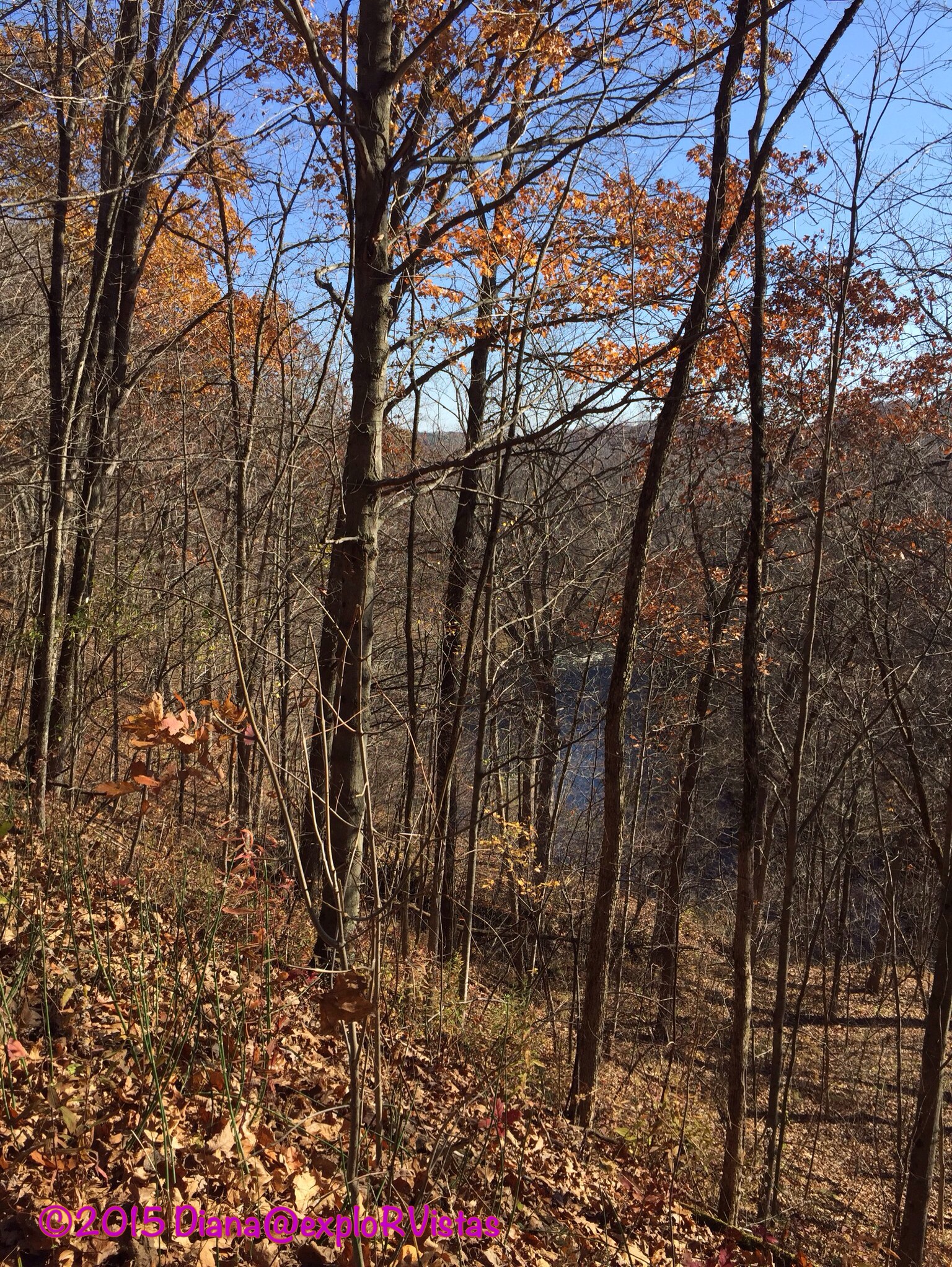
The trail ran near the Rogue River, and there were several deep ravines. This particular portion of the railroad grade dates back to 1867.
Just prior to passing under 10 Mile Road, the route crosses an old bridge over the river.
It then runs through the quaint town of Rockford. Longtime readers may recall our post from this town last December called ‘A Small Town Christmas’. On this beautiful November day, the town was packed with people enjoying the sunshine.
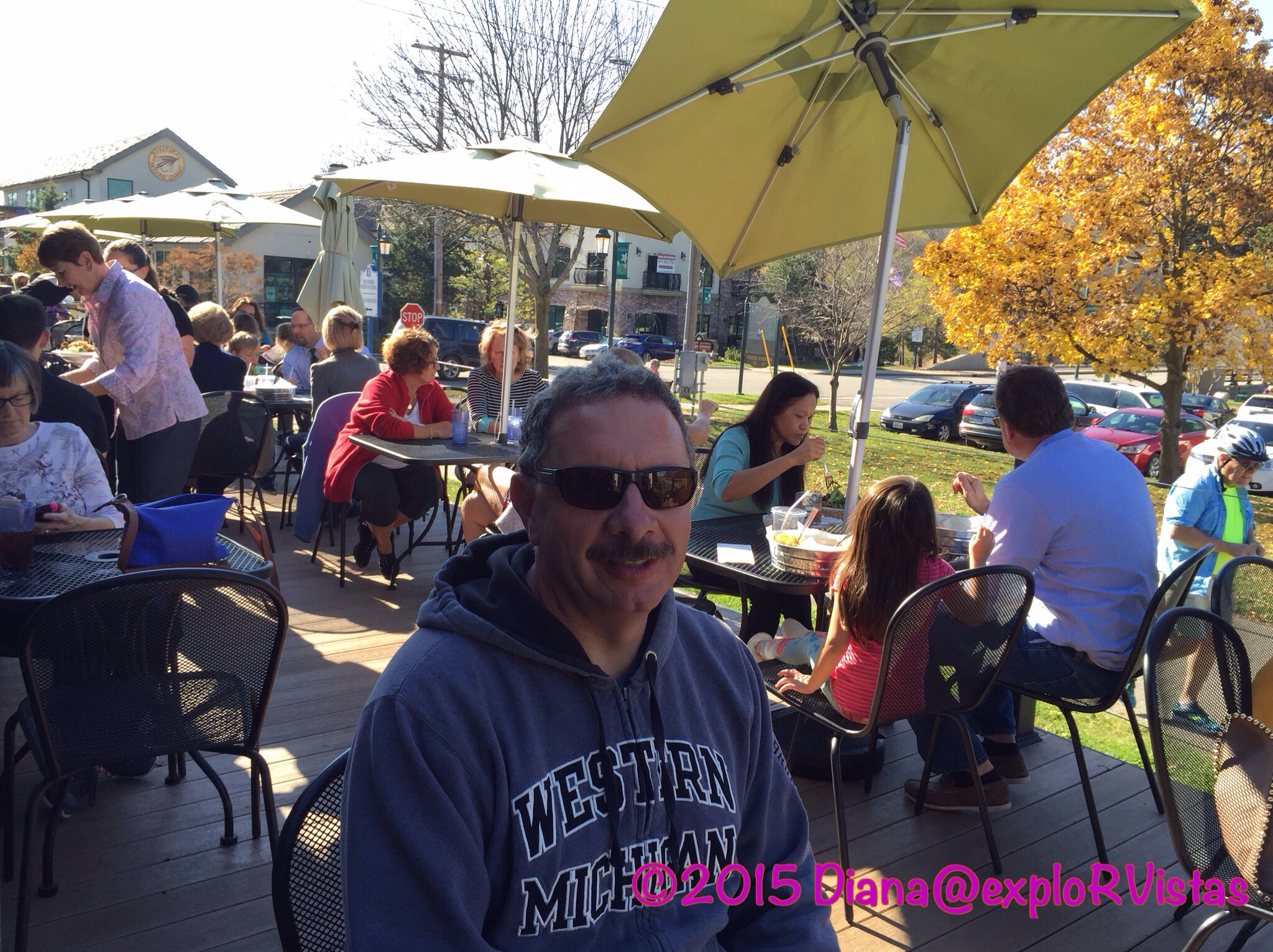
We had a trailside lunch at Ramona’s Table, which was delicious!
From there, we continued north for a bit.
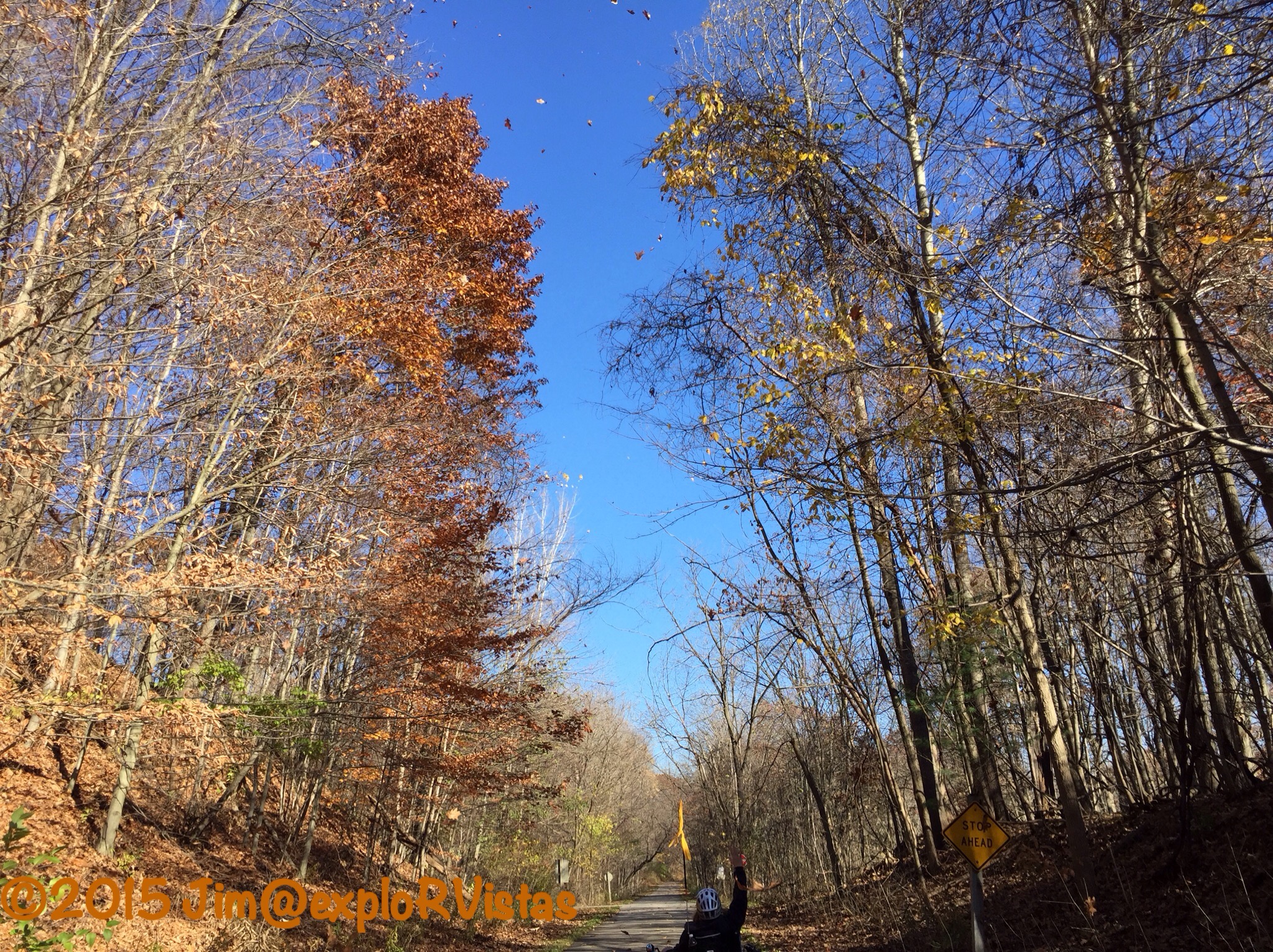
Pretty soon, Diana pointed skyward…
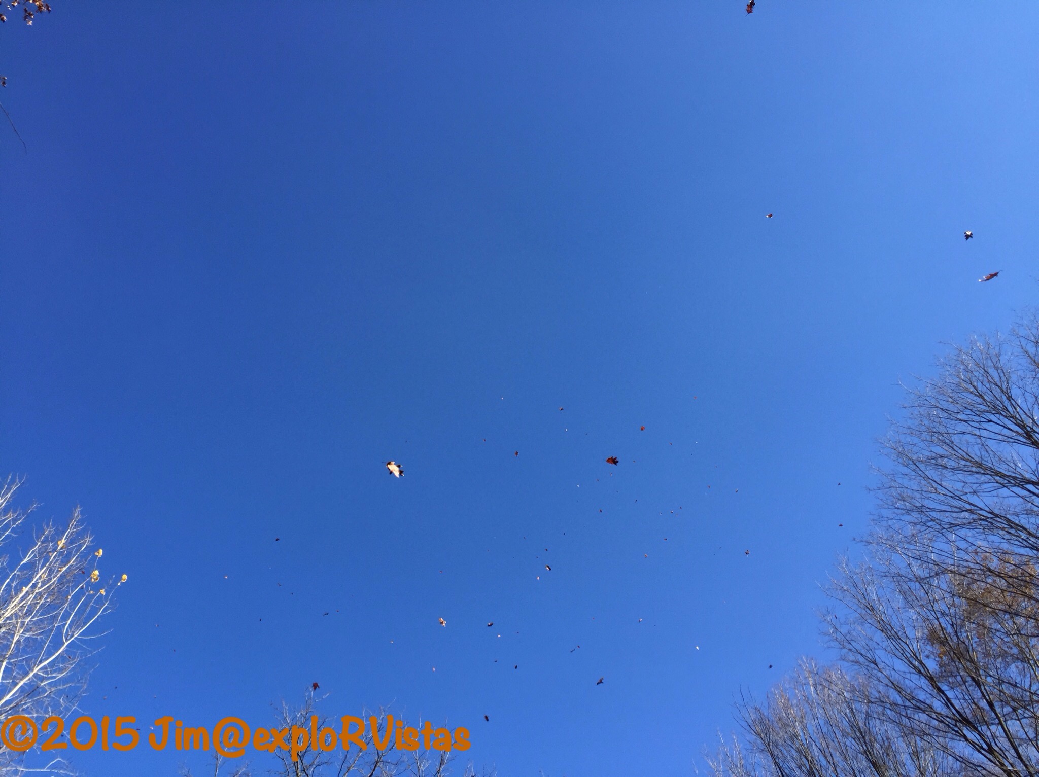
….and the leaves appeared to be raining out of the clear blue sky!
We ended up pedaling to 12 Mile Road, which was six miles from our starting point. We headed back and called it a day.
These pathways are just a small sampling of what the area has to offer. We look forward to exploring more of West Michigan’s trails in the future.
———————
———————
Amazon, the Amazon logo, AmazonSupply, and the AmazonSupply logo are trademarks of Amazon. com, Inc. or its affiliates. exploRVistas is a participant in the Amazon Services LLC Associates Program, an affiliate advertising program designed to provide a means for sites to earn advertising fees by advertising and linking to amazon. com.

Beautiful bike trails! I love all the fall leaves and the deep blue sky:) Glad to see you are enjoying your new bikes.
LikeLiked by 1 person
Thanks, Pam and John! We really lucked out having three nice days in a row like that. 🙂
LikeLiked by 1 person
Awesome rail trails! Here’s to a warmer than usual winter in your area….
LikeLiked by 1 person
Thanks, Jim!
LikeLike
You guys are really putting a lot of miles behind you on the TerraTrikes! And what a lovely fall weather you are having – enjoy it – up here it is getting all white. Soon time to bring out those downhill skis.
LikeLiked by 1 person
And we look forward to more of your awesome winter photos of one of our favorite places, the Canadian Rockies! Stay warm, Inger!
LikeLiked by 1 person