
When people think of Sleeping Bear Dunes, two places tend to stand out above all the others. One is the iconic Dune Climb. The other is the Pierce Stocking Scenic Drive.

Pierce Stocking was a local lumberman who owned a good portion of the land in the area that Sleeping Bear Dunes National Lakeshore now occupies. He built the scenic drive prior to the national park’s existence, so that people could enjoy the area’s beauty. He passed away in 1976, the day after the federal government paid him for his land. The drive was named in his honor.

Stocking had originally named his drive Sleeping Bear Dunes Park. He built a covered bridge at this point as an enhancement to the park. When the National Park Service paved the drive’s 7.4 miles of roads in the 1980’s, they completely reconstructed the bridge, so as to allow higher clearance vehicles to pass beneath it’s roof. The structure was built purely for aesthetics, as there is no water that passes beneath it.
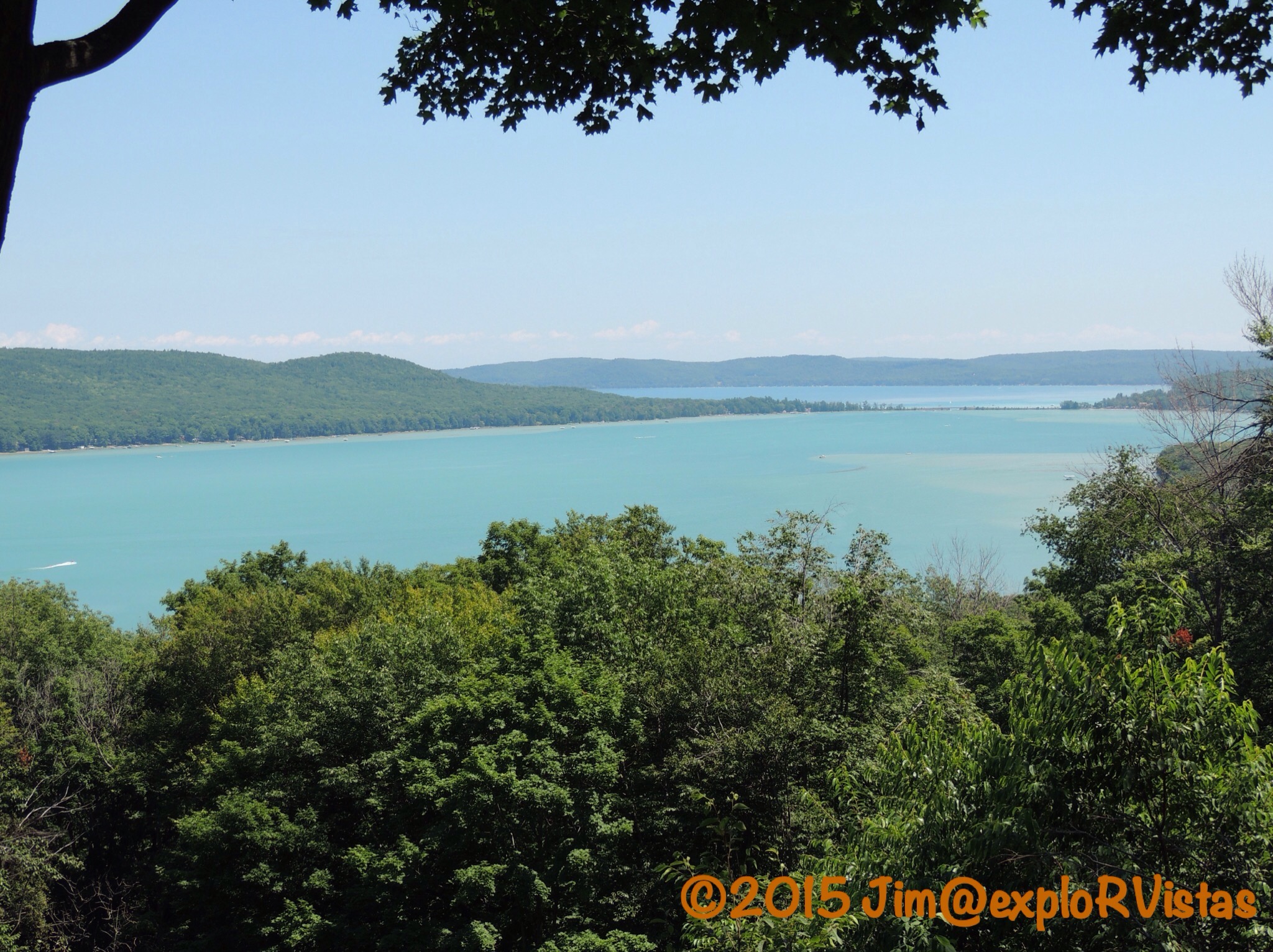
One of the first pull offs on the drive overlooks the two Glen Lakes. Little Glen Lake, in the foreground, is much shallower than Big Glen Lake in the distance. Though difficult to see in this photo, there is a distinct difference in the color, due to the difference in the lake’s depths. The two bodies of water are separated by the M-22 causeway. Alligator Hill, named for the shape of the land seen from this vantage point, is to the left of Little Glen Lake.

Looking north from the Dune Overlook, the upper portion of the dune complex can be seen. To the right is the parking lot for the Dune Climb. Beyond it are the iconic barns from the D. H. Day farm. The historic town of Glen Haven lies beyond that. Lake Michigan fills the horizon beyond the dunes to the north.

From the Dune Overlook, Diana was able to get this photo comparing my schnozolla to Alligator Hill’s snout. 🙂
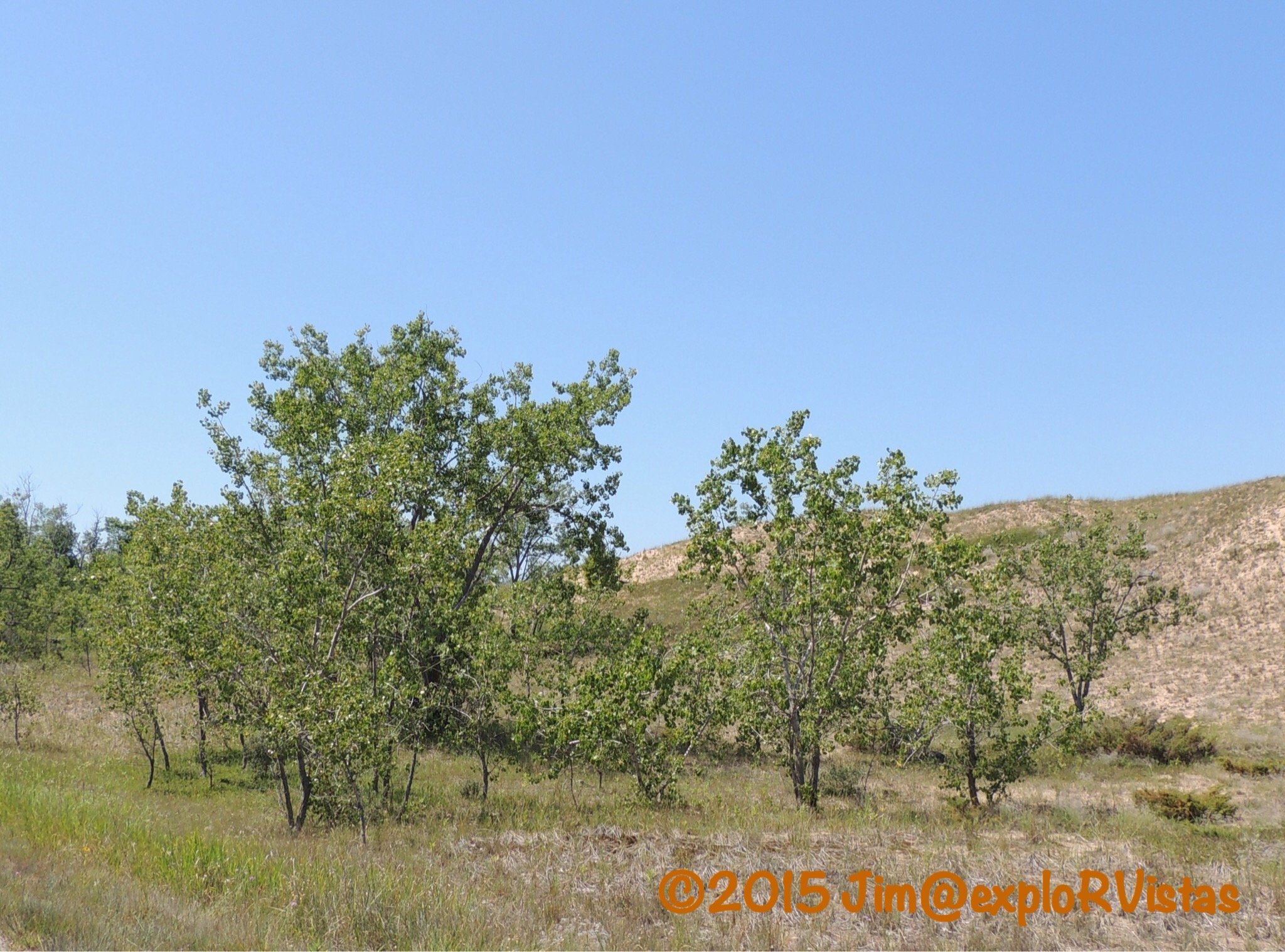
Cottonwood trees are common on the exposed dune. As a cottonwood is buried by the shifting sand, the roots sprout new growth. As a result, what appears to be several trees, is actually one tree.
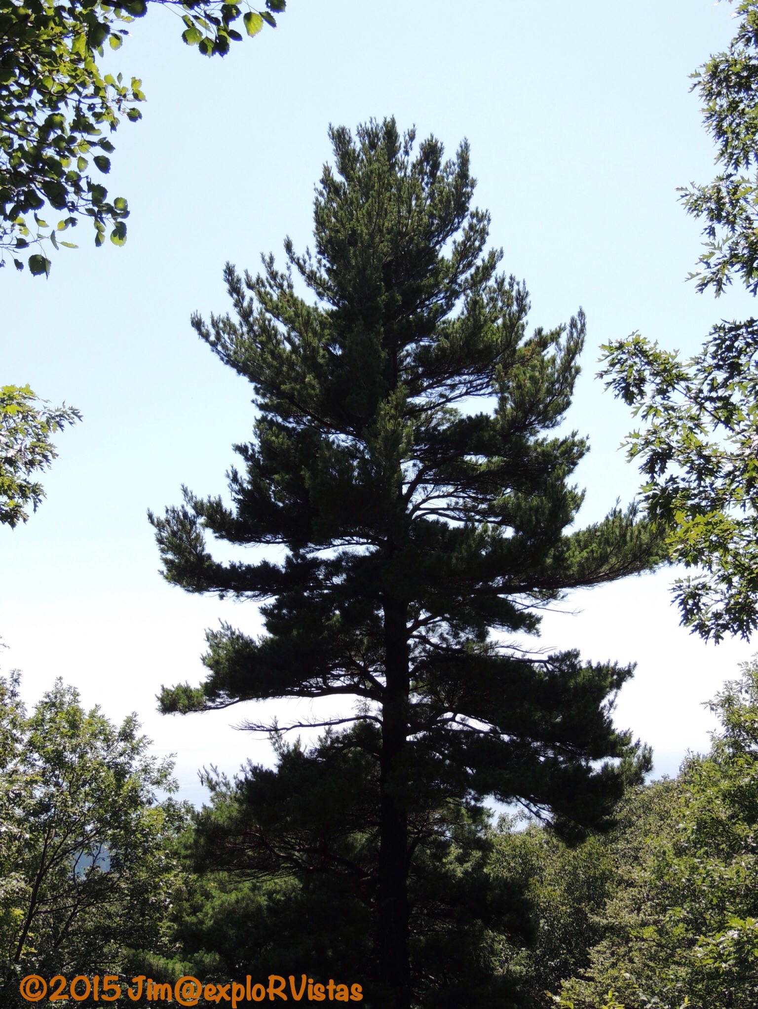
Further along, the drive enters the back dune forest. Here is a fine example of Michigan’s state tree, the White Pine.
The most popular stop along the drive is the Lake Michigan Overlook.

Though permitted, the trip down to the water’s edge is definitely discouraged.

The lake is 450 feet below at this vantage point! For orientation purposes, this photo looks due west. Lake Michigan dominates the horizon. Note the size of the two boats rafted together, as we will revisit them at the end of the post.
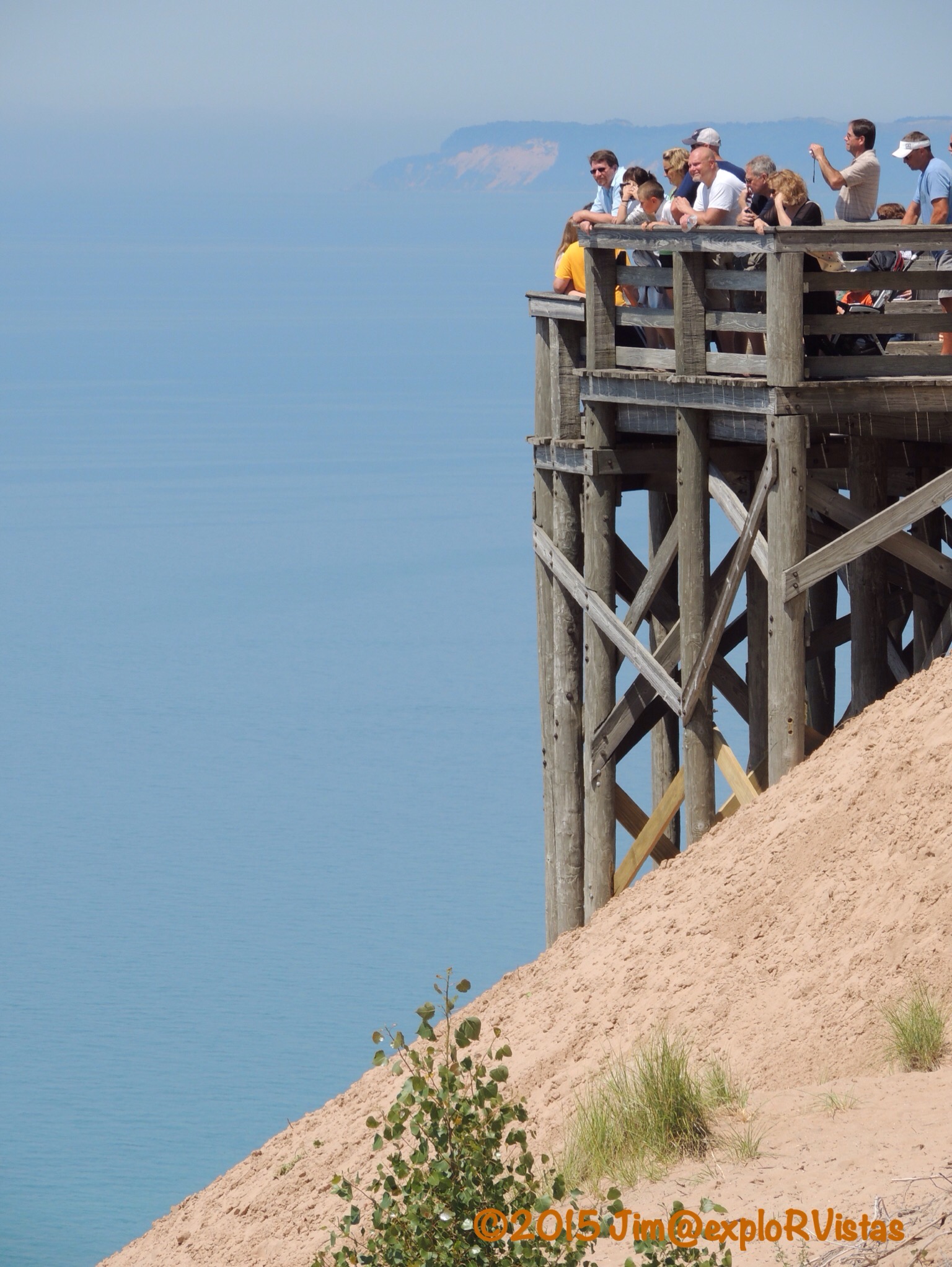
There is an excellent viewing platform that extends out over the dune to take in the view. In the distance, South Manitou Island can be seen.

The platform is so far up, even the planes are flying below it!

Looking to the southwest, Manitowac, Wisconsin lies a good 100 miles away over the horizon. The lake wraps back around to the left, with Milwaukee and Chicago being approximetely 200 and 300 miles away, respectively. From this point, a person really is able to fully grasp the size of this body of water. Look at how tiny the people appear on the bluff!

Heading down the bluff is easy, but coming back up is hard.
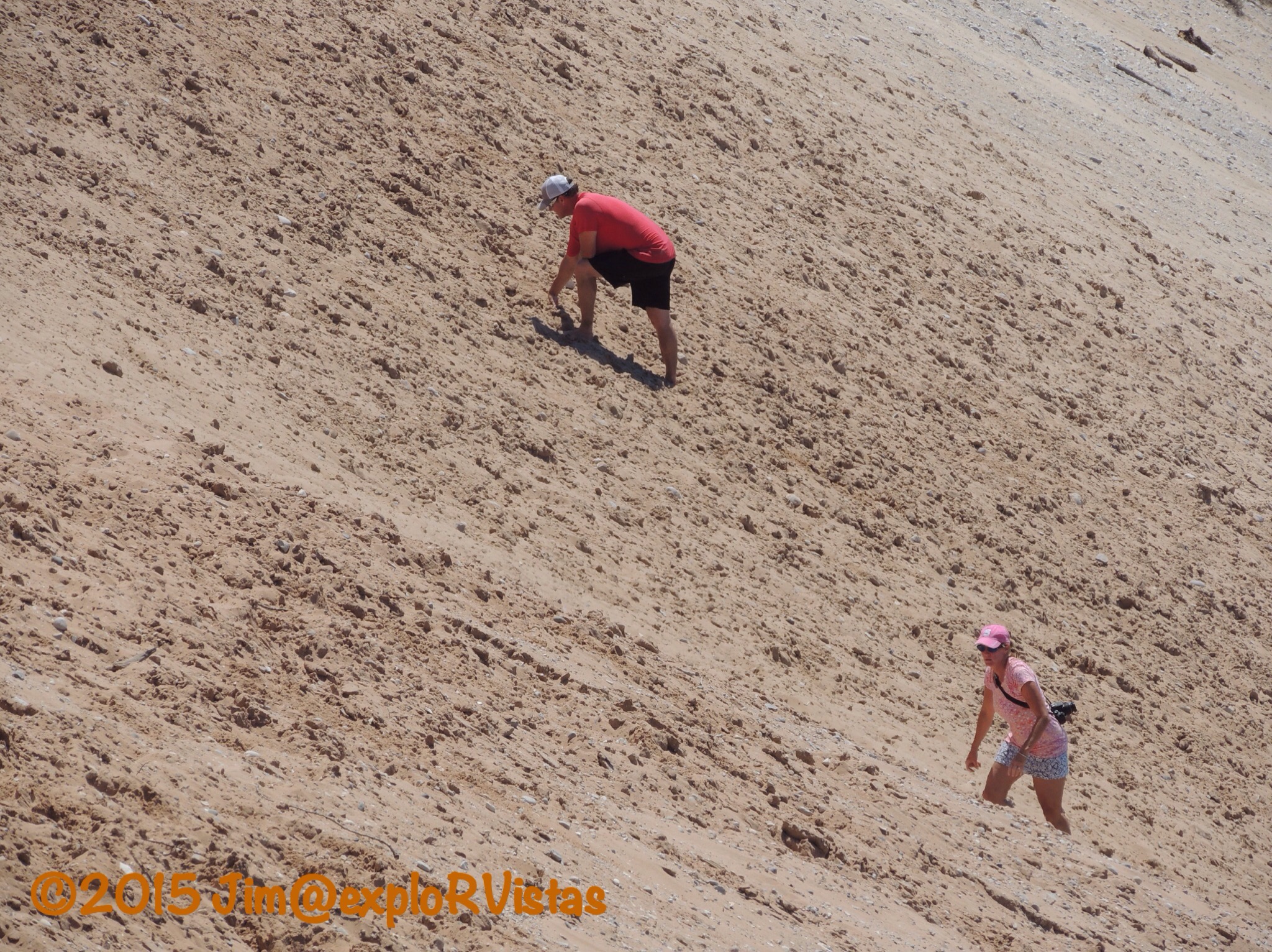
Really, really hard. The pose the gentleman in the red shirt is assuming is known locally as the ‘ant crawl’. I did the extremely difficult 350 foot climb up Grand Sable Dunes on Lake Superior as a teenager; for now, I will pass on attempting this 450 foot ascent as a 57 year old. 🙂

One of the last vistas on the drive is the North Bar Lake Overlook. The visitor’s guide explains that the shifting sands will eventually close off the channel between the lake and Lake Michigan. Noticing all the people down there, we decided to take a closer look.
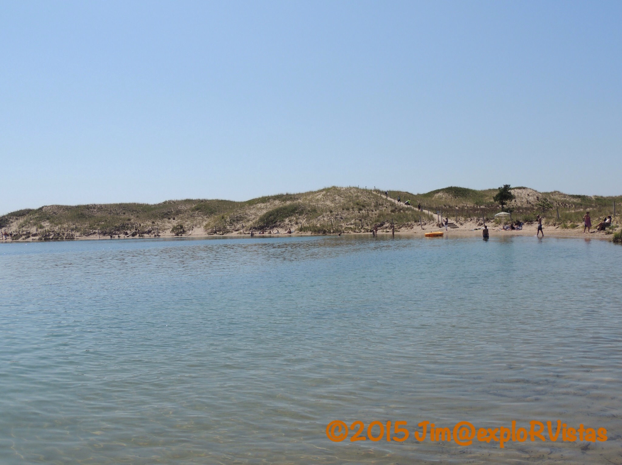
The lake is still within the national park, and has a nice parking area and outhouses. It has a sandy bottom, and is fairly warm.

The channel where the lake meets Lake Michigan is extremely small.
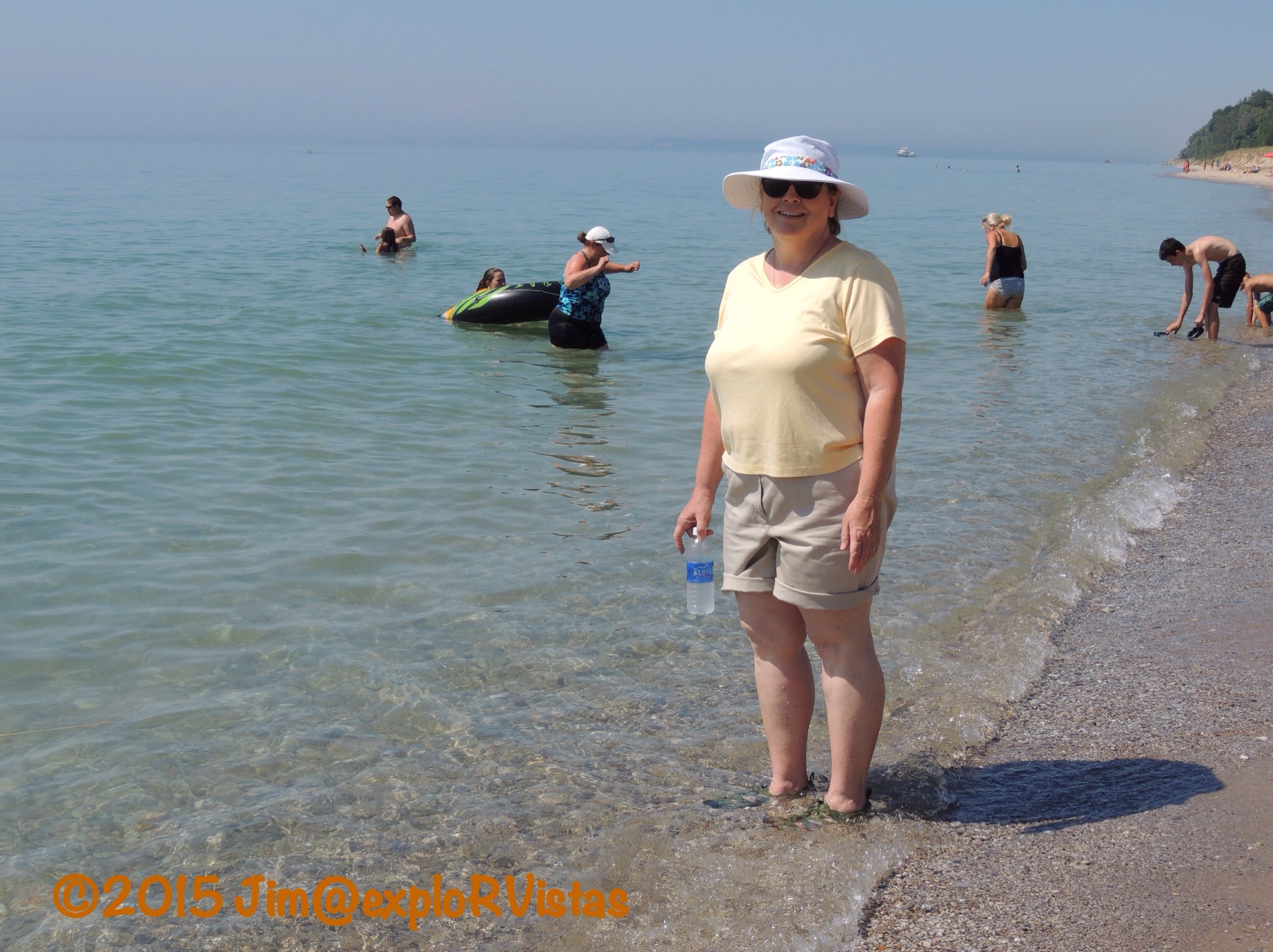
There were a few brave souls in Lake Michigan, including Diana…seen here sporting her cute, new hat!

And remember those two boats rafted together earlier in the post? Here they are from lake level. They are a LOT bigger than they appeared from up top!
For anyone visiting Sleeping Bear Dunes, the scenic drive is a must. We all owe Pierce Stocking our gratitude for building the road, as it may not have ever been conceived otherwise. He opened up the dunes for all to see and experience. Take a few hours and enjoy the views, if you find yourself in this part of the world.

Love Sleeping Bear Dunes! Thanks for the memories!
LikeLike
Thanks, LuAnn!
LikeLiked by 1 person
Thank you for the great review of Sleepy Bear Dunes. Is there camping in the area? Would love to make it part of a trip.
LikeLike
Yes, there are a wide variety of camping options.
LikeLiked by 1 person
This is such a neat area. We had a great time. We did a hike that took us to the overlook area. Those people are crazy trying to climb that sand hill.
LikeLike
They do it because it’s there, I guess! We also want to hike the trail over the dunes, Pam. I think we will wait for cooler weather, though. It was in the mid 80’s on the peninsula today, which is warm for us.
LikeLike
It’s so pretty in that part of MI. My daughter still uses a photo from our little road trip there 4 years ago as her computer background. We just arrived at Starved Rock SP in IL and were quickly reminded how lush the vegetation gets in the Midwest. We certainly need to adjust to the humidity!!!
LikeLike
We’ve been to Starved Rock! We used to make the KOA near there our first stop on our way west, whenever we headed that way. We fell asleep, listening to the cows. 🙂
LikeLiked by 1 person
The water is so blue and beautiful! Our water here in Missississippi is brown.
Lovely photos! I’d want to go to the waters edge! Haha 😉
LikeLike
Northern Lake Michigan definitely is known for it’s clarity, Crissy!
LikeLike
I did not know that. It looks beautiful like Caribbean waters. I think you’ll like my recent post. Enjoy your weekend!
LikeLiked by 1 person